Start slowly, with one place. Find a view and a small meal.
경기도 포천시
Local historyFirst-visit planCheck transport
Hi, I’m Tabi!
Pocheon in Gyeonggi-do offers a repurposed quarry, Gwangneung Forest and Idong galbi culture. Arrange separate access to the Art Valley in Sinbuk-myeon, the arboretum in Soheul-eup and dining in Idong-myeon and choose one to begin.
This guide covers places within Pocheon, rather than places immediately beside your app check-in.
01 · EXPLORE
Two places to begin
Two different places: start with whichever interests you.
01
A first-visit stop
Pocheon Art Valley
포천아트밸리
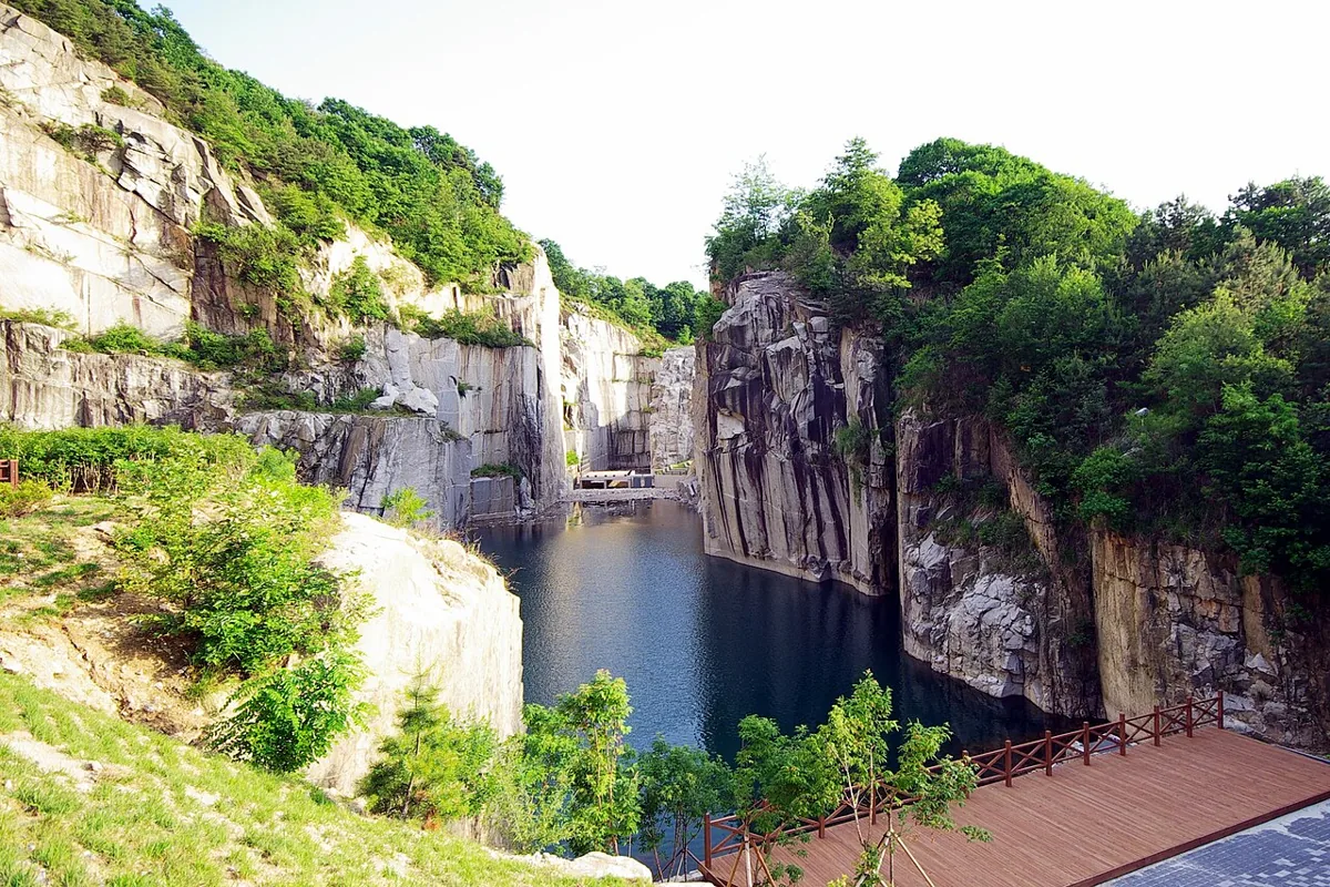
A former granite quarry adapted for culture and art. The photograph shows Cheonjuho Lake and cliffs in 2008; check current exhibitions, performances and monorail operation separately. Distinguish quarry landforms from untouched natural cliffs and follow access, slope and restriction guidance.
Getting there Check the current approach and return transport on the map.
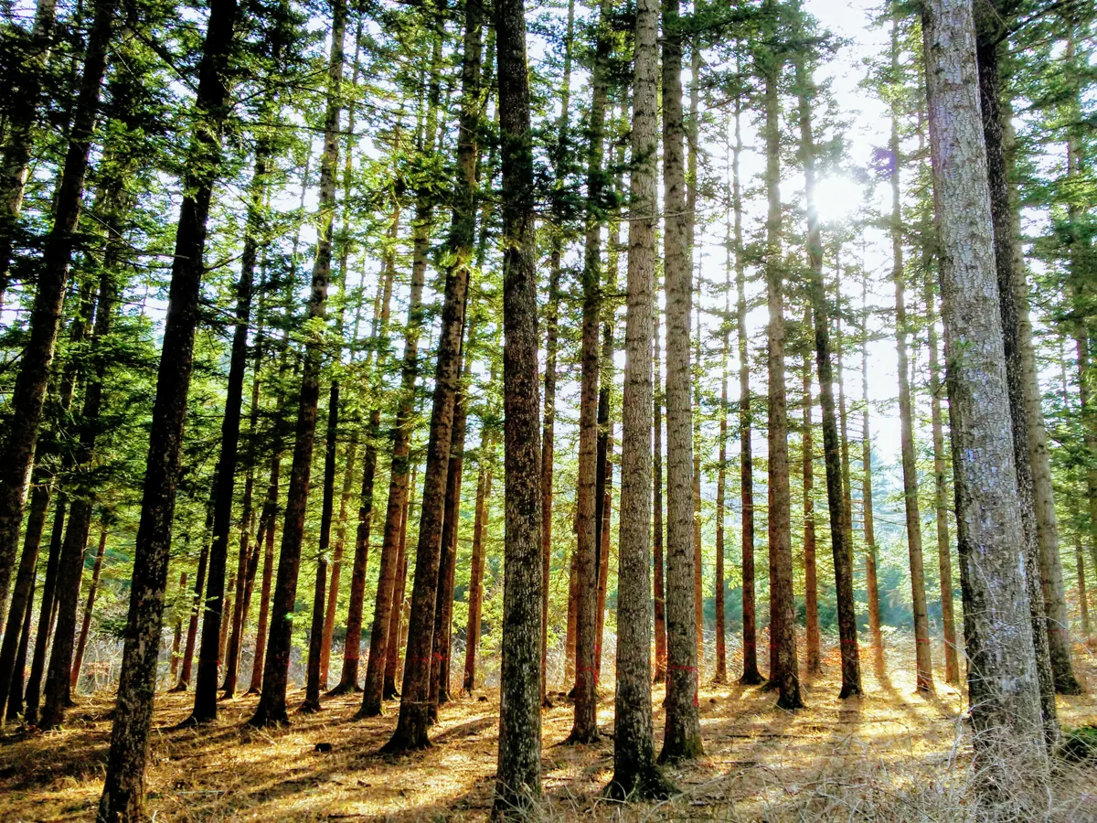
A research and conservation setting for observing plants and woodland in Gwangneung Forest. The photo shows a fir forest in 2018, not current access to every path. Check admission by arrival method, advance vehicle reservations, parking and closures; do not collect plants or feed wildlife.
Getting there Check the current approach and return transport on the map.
Pocheon’s official Idong-myeon material introduces Idong galbi as local cuisine, distinguishing plain ribs and examples marinated with ingredients such as fruit. Check actual meat, seasonings and allergies with vendors. No particular shop, current menu, price or flavor is guaranteed.
Resized, metadata removed and converted to WebP; display crops vary by screen. Adapted CC BY-SA photos retain the original license.
Photos are historical material dated in the credits, not a guarantee of present scenery or operation. Places without photos use decorative name panels.


 01
01