Start slowly, with one place. Find a view and a small meal.
화천군
Local historyFirst-visit planCheck transport
Hi, I’m Tabi!
Discover the Hwacheon-side visitor area of Peace Dam and Bungeo Island. These are far-apart stops; check separate transport rather than treating them as one short walk.
This guide covers places within Hwacheon, rather than places immediately beside your app check-in.
01 · EXPLORE
Two places to begin
Two different places: start with whichever interests you.
01
A first-visit stop
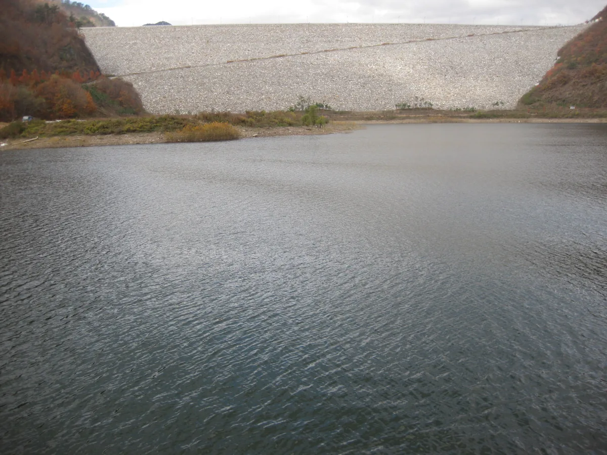
Peace Dam — Hwacheon-side visitor area
平和のダム・華川側の訪問エリア
The dam spans Hwacheon and Yanggu; this guide uses the Hwacheon-eup visitor approach. The 2008 photograph predates the large mural and differs from today. Check public areas and transport or weather restrictions, and stay out of restricted facilities.
Getting there Check the current approach and return transport on the map.
An island formed by the impounding of Chuncheon Dam, connected by a bridge and developed for recreation. Choose open waterside paths and follow current controls for the clay trail and sports facilities. A decorative name panel represents this stop.
Getting there Check the current approach and return transport on the map.
Hwaaksan chal tomatoes are agricultural products introduced by Hwacheon County. Check origin, harvest timing and availability. Fresh fruit is not guaranteed in November, and no particular health effect is claimed.
Resized, metadata removed and converted to WebP; display crops vary by screen. Adapted CC BY-SA photos retain the original license.
Photos are historical material dated in the credits, not a guarantee of present scenery or operation. Places without photos use decorative name panels.


 01