Start slowly, with one place. Find a view and a small meal.
창녕군
Local historyFirst-visit planCheck transport
Hi, I’m Tabi!
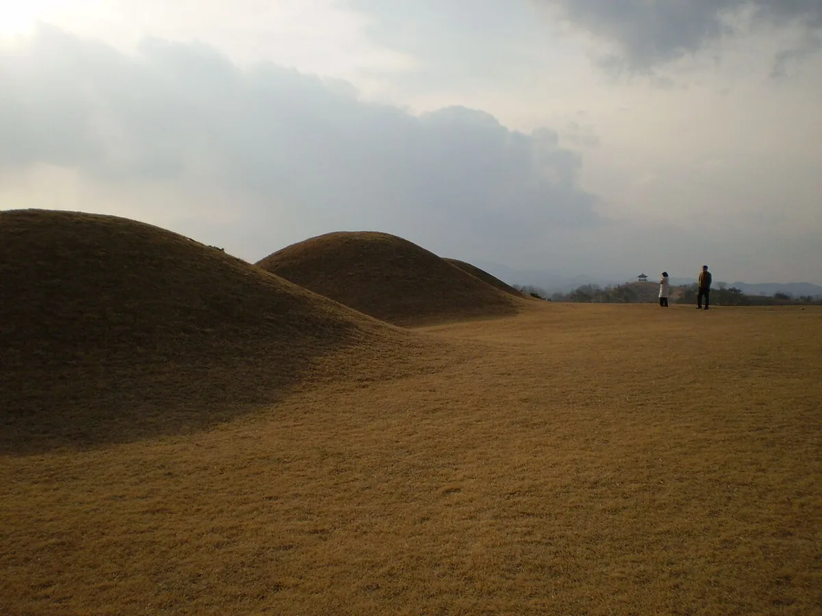
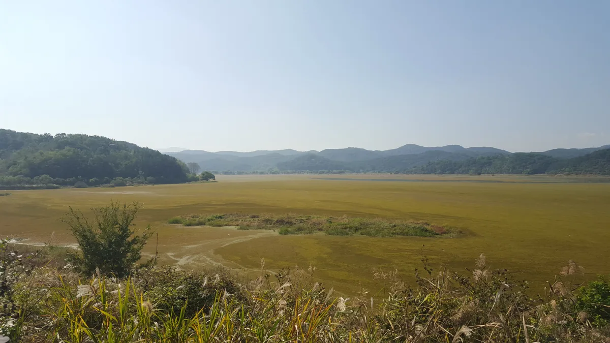
Discover Changnyeong through Upo Wetland and the Gyo-dong and Songhyeon-dong tombs. Check open visitor paths at each protected site and respect wildlife and burial places.
This guide covers places within Changnyeong, rather than places immediately beside your app check-in.
01 · EXPLORE
Two places to begin
Two different places: start with whichever interests you.
01
A first-visit stop
Upo Wetland
牛浦湿地
An inland wetland supporting diverse wildlife. The photograph shows autumn 2015. Check water levels, weather and conservation restrictions; do not feed or approach birds.
Getting there Check the current approach and return transport on the map.
An archaeological landscape of ancient burial mounds. The image dates to 2007. Do not climb the mounds or cross barriers; follow designated visitor routes and excavation or repair notices.
Getting there Check the current approach and return transport on the map.
Official sources identify Changnyeong as an onion-growing area. Check current local produce availability, origin, storage and preparation guidance, and do not enter farmland without permission.
Resized, metadata removed and converted to WebP; display crops vary by screen. Adapted CC BY-SA photos retain the original license.
Photos are historical material dated in the credits, not a guarantee of present scenery or operation. Places without photos use decorative name panels.


 01