Start slowly, with one place. Find a view and a small meal.
矢祭町
Local historyFirst-visit planCheck transport
Hi, I’m Tabi!
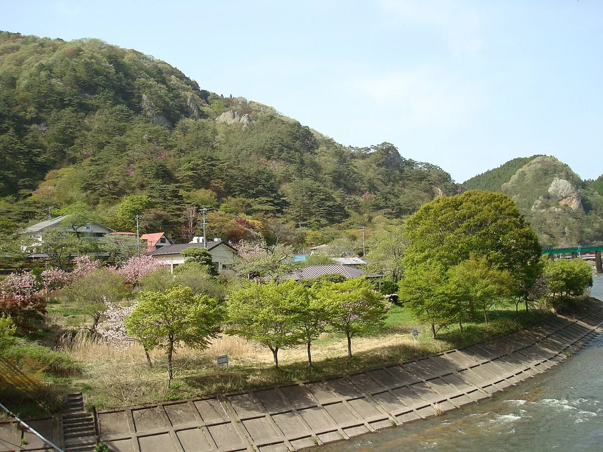
Enjoy the Kuji River and Mount Yamatsuri scenery, and assess Takigawa Gorge separately for your equipment and weather. The entire gorge should not be treated as a casual stroll.
This guide covers places within Yamatsuri, rather than places immediately beside your app check-in.
01 · EXPLORE
Two places to begin
Two different places: start with whichever interests you.
01
A first-visit stop
Mount Yamatsuri park area
矢祭山公園
A place to view the Kuji River and rocky hills. The September 2012 photograph was taken across the river and does not establish current trail conditions. Check access and footing and choose a short section.
Getting there Check the current approach and return transport on the map.
A gorge route linking waterfalls. The town warns about slippery leaves and wet rocks, chain sections and fall accidents. Do not continue without suitable hiking preparation, and stay out during closures or in restricted sections.
Getting there Check the current approach and return transport on the map.
Consider juwari soba at Takigawa no Sato, described officially as made without a binder. Check seasonal operation and closing days, and enquire about separate access rather than assuming you must hike the gorge to dine.
Choose a short, currently open path around Mount Yamatsuri. Assess Takigawa Gorge as a separate hike, leaving chain sections and closed areas out of a casual walk.
Resized, metadata removed and converted to WebP; display crops vary by screen. Adapted CC BY-SA photos retain the original license.
Photos are historical material dated in the credits, not a guarantee of present scenery or operation. Places without photos use decorative name panels.


 01