Start slowly, with one place. Find a view and a small meal.
楢葉町
Local historyFirst-visit planCheck transport
Hi, I’m Tabi!
Pause at Naraha’s roadside station and plan a separate visit to the coastal park at Tenjin Cape. Distinguish historical photographs from current facility operation and check the day’s notices.
This guide covers places within Naraha, rather than places immediately beside your app check-in.
01 · EXPLORE
Two places to begin
Two different places: start with whichever interests you.
01
A first-visit stop
Naraha roadside station
道の駅ならは
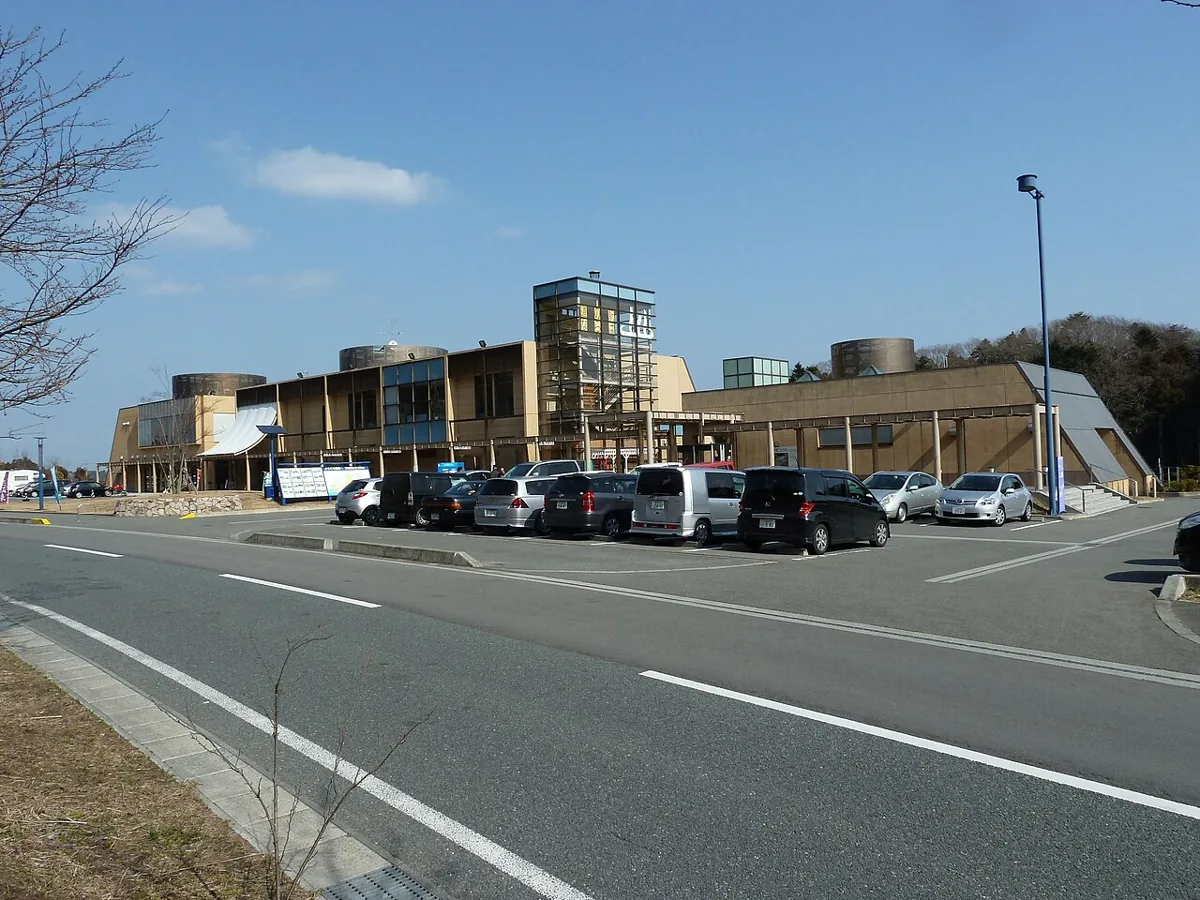
A roadside station with dining, shopping and bathing facilities. The exterior photograph was taken in February 2011, before the Great East Japan Earthquake. The operator records a 2019 reopening; use current guidance for today’s services and displays.
Getting there Check the current approach and return transport on the map.
A cape-top park overlooking the Pacific, with lawns and leisure facilities described by the town. Enjoy the sea from open areas and check reservations and operating status separately for camping or activities. A decorative panel is used in place of an unverified photograph.
Getting there Check the current approach and return transport on the map.
Consider Naraha yuzu-shio ramen, listed on the roadside station’s official menu. Yuzu products are also sold, but menus and stock can change. Check the day’s dishes and ingredients before choosing.
Resized, metadata removed and converted to WebP; display crops vary by screen. Adapted CC BY-SA photos retain the original license.
Photos are historical material dated in the credits, not a guarantee of present scenery or operation. Places without photos use decorative name panels.


 01