Start slowly, with one place. Find a view and a small meal.
上野原市
Easy walkLocal sceneryA small meal
Hi, I’m Tabi!
In eastern Yamanashi, Uenohara combines ponds, river scenery and sweets linked with an old travel road. Choose one area first and plan separate transport for Ohno Reservoir.
This guide covers places within Uenohara, rather than places immediately beside your app check-in.
01 · EXPLORE
Three places to begin
Three places with different atmospheres. Start with the one that appeals to you instead of visiting them all.
01
A first-visit stop
Tsukimigaike Pond
月見ケ池
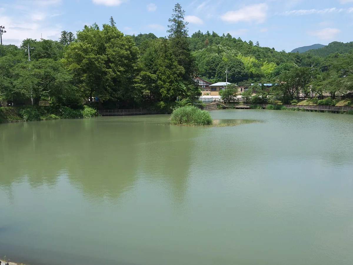
A reservoir pond beside a school, offering a waterside pause. Explore marked nearby paths rather than expecting a large lake circuit. The photo shows summer 2011.
Getting there Check the approach to the pond beside Uenohara Elementary School
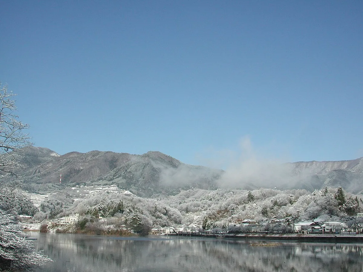
A reservoir with mountain and waterside scenery. The photo shows winter 2003; cherry blossoms are seasonal. Public toilets are scheduled to close for repairs on 13–23 October 2026.
Getting there Check the approach from JR Shiotsu station
Explore river scenery in the Shinden area. Follow local restrictions and stay away from the water after rain or when levels are high. Cherry blossoms are a spring attraction.
Getting there Check the route from JR Uenohara station’s south exit
Saka manju is a local sweet made with fermented dough using koji and amazake and a bean filling, linked with merchants on the Koshu road. Check ingredients, allergens and availability at the shop.
Try the south side of Uenohara station → marked riverbank paths. Check water levels and restrictions first. Treat Tsukimigaike and Ohno Reservoir as separate outings.
Resized, metadata removed and converted to WebP; display crops vary by screen. Adapted CC BY-SA photos retain the original license.
Photos are historical material dated in the credits, not a guarantee of present scenery or operation. Places without photos use decorative name panels.


 01
01