Start slowly, with one place. Find a view and a small meal.
白浜町
Local historyFirst-visit planCheck transport
Hi, I’m Tabi!
Discover sandstone formations and coastal cliffs. Even at nearby coastal stops, use designated paths and viewpoints rather than rock edges.
This guide covers places within Shirahama, rather than places immediately beside your app check-in.
01 · EXPLORE
Two places to begin
Two different places: start with whichever interests you.
01
A first-visit stop
Senjojiki
千畳敷
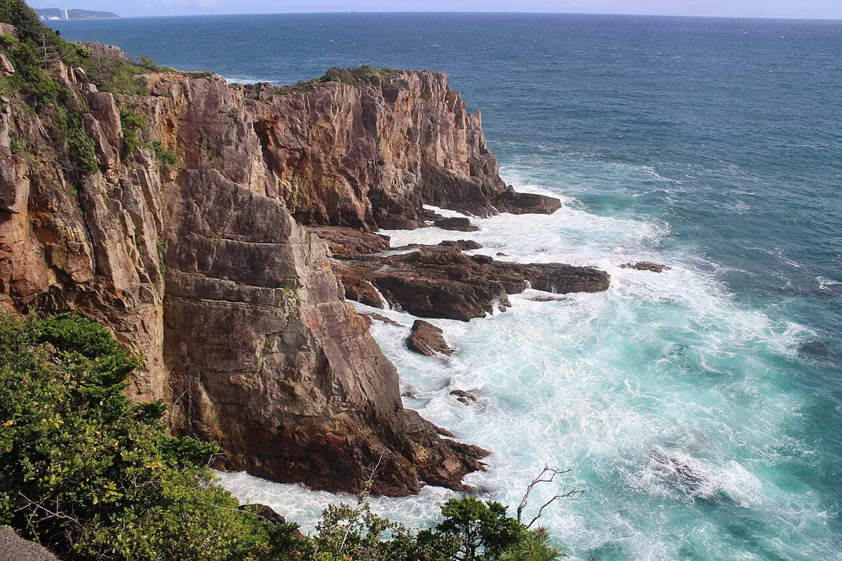
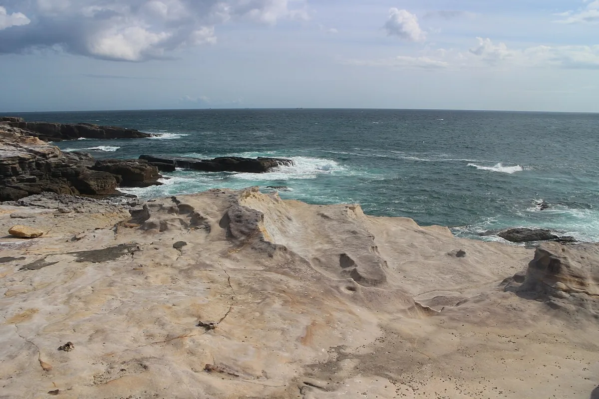
This 2021 photograph shows the rock formations and sea. The surface is uneven and can be slippery when wet. Choose a safe viewpoint in strong winds, high waves or access restrictions.
Getting there Check the current approach and return transport on the map.
The 2021 photograph looks down on the cliffs and waves, not inside the cave. Cave visits have separate facility arrangements. Stay behind fences and restricted-area lines.
Getting there Check the current approach and return transport on the map.
Resized, metadata removed and converted to WebP; display crops vary by screen. Adapted CC BY-SA photos retain the original license.
Photos are historical material dated in the credits, not a guarantee of present scenery or operation. Places without photos use decorative name panels.


 01