Start slowly, with one place. Find a view and a small meal.
東久留米市
Easy walkLocal sceneryA small meal
Hi, I’m Tabi!
Higashikurume in Tokyo’s Tama area offers bamboo, springs and riverside scenery. Start with the Chikurin Park area from the station, adding waterside paths according to access and weather.
This guide covers places within Higashikurume, rather than places immediately beside your app check-in.
01 · EXPLORE
Three places to begin
Three places with different atmospheres. Start with the one that appeals to you instead of visiting them all.
01
A first-visit stop
Chikurin Park
竹林公園
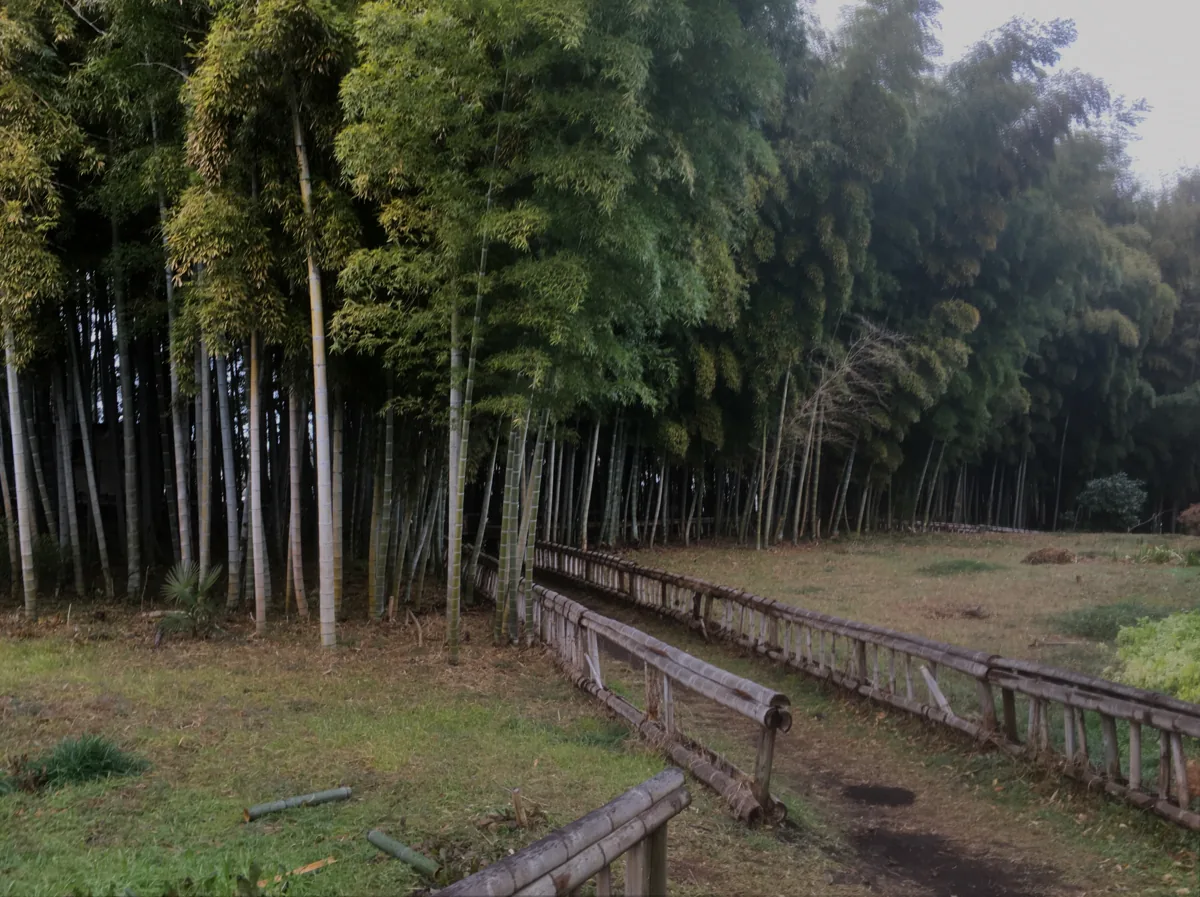
A park of bamboo and greenery around springs. The 2021 photograph predates the March 2026 renewal, which changed deck and rest areas. Follow current path signs.
Getting there Check the route from Higashikurume station toward Minamisawa
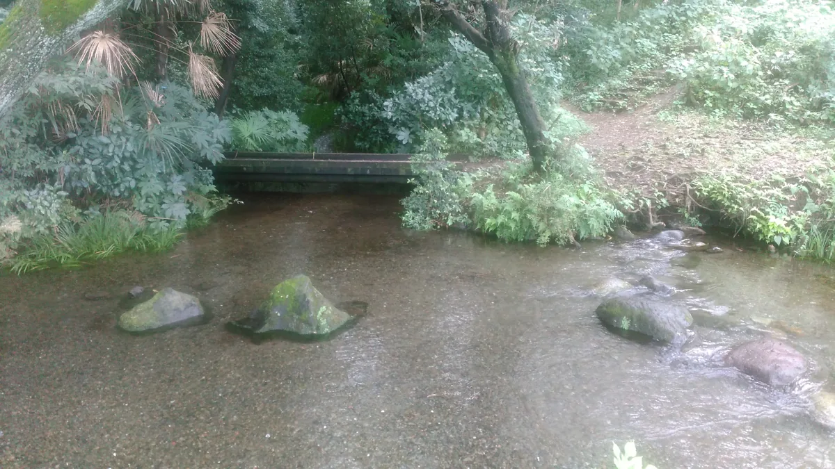
See spring water flowing among trees. The photograph dates from 2016. Stay on public paths and outside protected water areas; good water-quality ratings do not establish drinking safety.
Getting there Check the springs location in Minamisawa 3-chome
The river is featured with Minamisawa Springs in official water-heritage guidance. Choose it as another waterside stop, using public paths and keeping out of the water and vegetation.
Getting there Check public riverside paths in the Minamisawa area
The city’s farm-shop guidance introduces local vegetables and fruit. Discover seasonal produce, checking current products and selling days for each farm.
Try Higashikurume station → Chikurin Park’s marked paths. Follow current signs rather than the old photo layout. Check separate approaches to springs and river paths without crossing protected areas.
Resized, metadata removed and converted to WebP; display crops vary by screen. Adapted CC BY-SA photos retain the original license.
Photos are historical material dated in the credits, not a guarantee of present scenery or operation. Places without photos use decorative name panels.


 01
01