Start slowly, with one place. Find a view and a small meal.
君津市
Easy walkLocal sceneryA small meal
Hi, I’m Tabi!
Kimitsu in Chiba offers lake scenery and Kururi’s castle site and well streets. Choose central Kururi or Lake Kameyama first, planning them as separate outings.
This guide covers places within Kimitsu, rather than places immediately beside your app check-in.
01 · EXPLORE
Three places to begin
Three places with different atmospheres. Start with the one that appeals to you instead of visiting them all.
01
A first-visit stop
Lake Kameyama
亀山湖
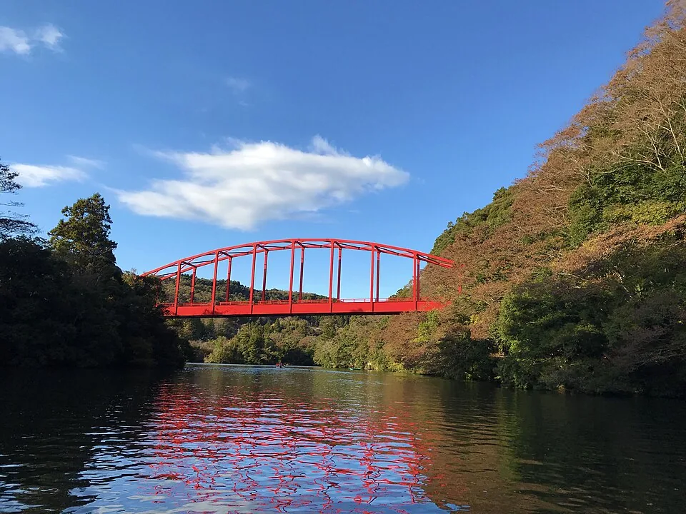
A reservoir surrounded by hills. The photograph shows a bridge and waterside in November 2018. Autumn colors vary; check current operator information for activities such as boating.
Getting there Check current train and bus service toward Kazusa-Kameyama
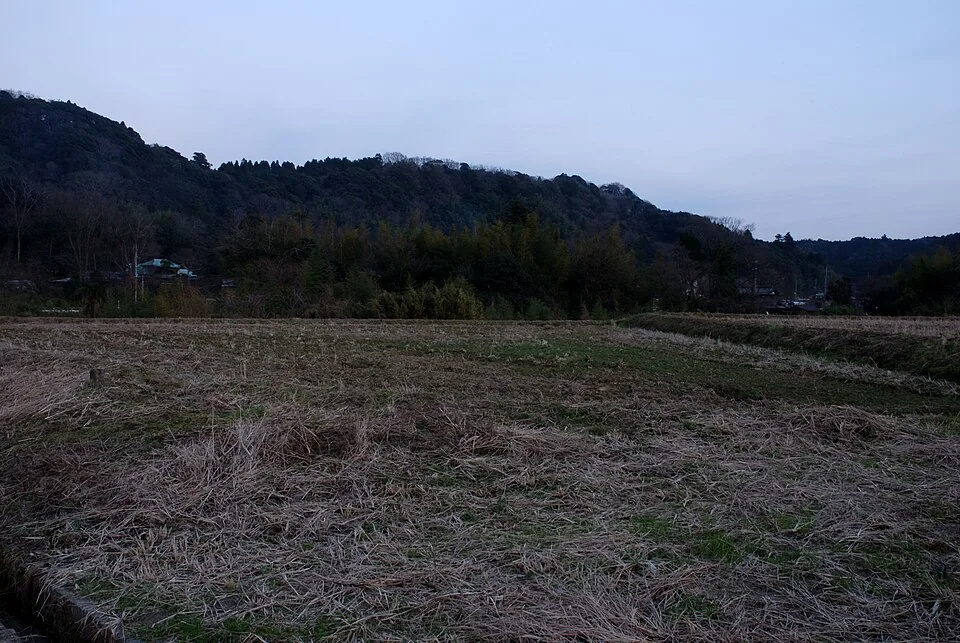
A museum at the castle site’s ninomaru. The hilltop tower was reconstructed in 1978. The 2007 photograph is a distant view of the castle hill from fields, not the museum interior.
Getting there Check slopes and current entry arrangements from the Kururi area
Discover wells and water history in the former castle town. The old Oido well is a preserved feature no longer in use. Follow posted guidance rather than assuming every well is drinking water.
Getting there Locate wells in the streets around Kururi station
Kururi’s water is linked with local life and brewing. The tourism association lists sellers of bottled Ikita Mizu Kururi natural water. Check current availability and labeling when exploring this local product.
Try Kururi station → central well streets, using a map and public paths. Check the castle site’s slopes and entry rules; save the lake for a separate trip.
Resized, metadata removed and converted to WebP; display crops vary by screen. Adapted CC BY-SA photos retain the original license.
Photos are historical material dated in the credits, not a guarantee of present scenery or operation. Places without photos use decorative name panels.


 01
01