Start slowly, with one place. Find a view and a small meal.
滑川町
Local historyFirst-visit planCheck transport
Hi, I’m Tabi!
Visit Musashi Kyuryo Forest Park’s central entrance and Senpuku-ji in Izumi. This is Namegawa in Saitama, distinct from Namerikawa city in Toyama. Check park and temple access separately.
This guide covers places within Namegawa, rather than places immediately beside your app check-in.
01 · EXPLORE
Two places to begin
Two different places: start with whichever interests you.
01
A first-visit stop
Musashi Kyuryo Forest Park Central Entrance
国営武蔵丘陵森林公園・中央口
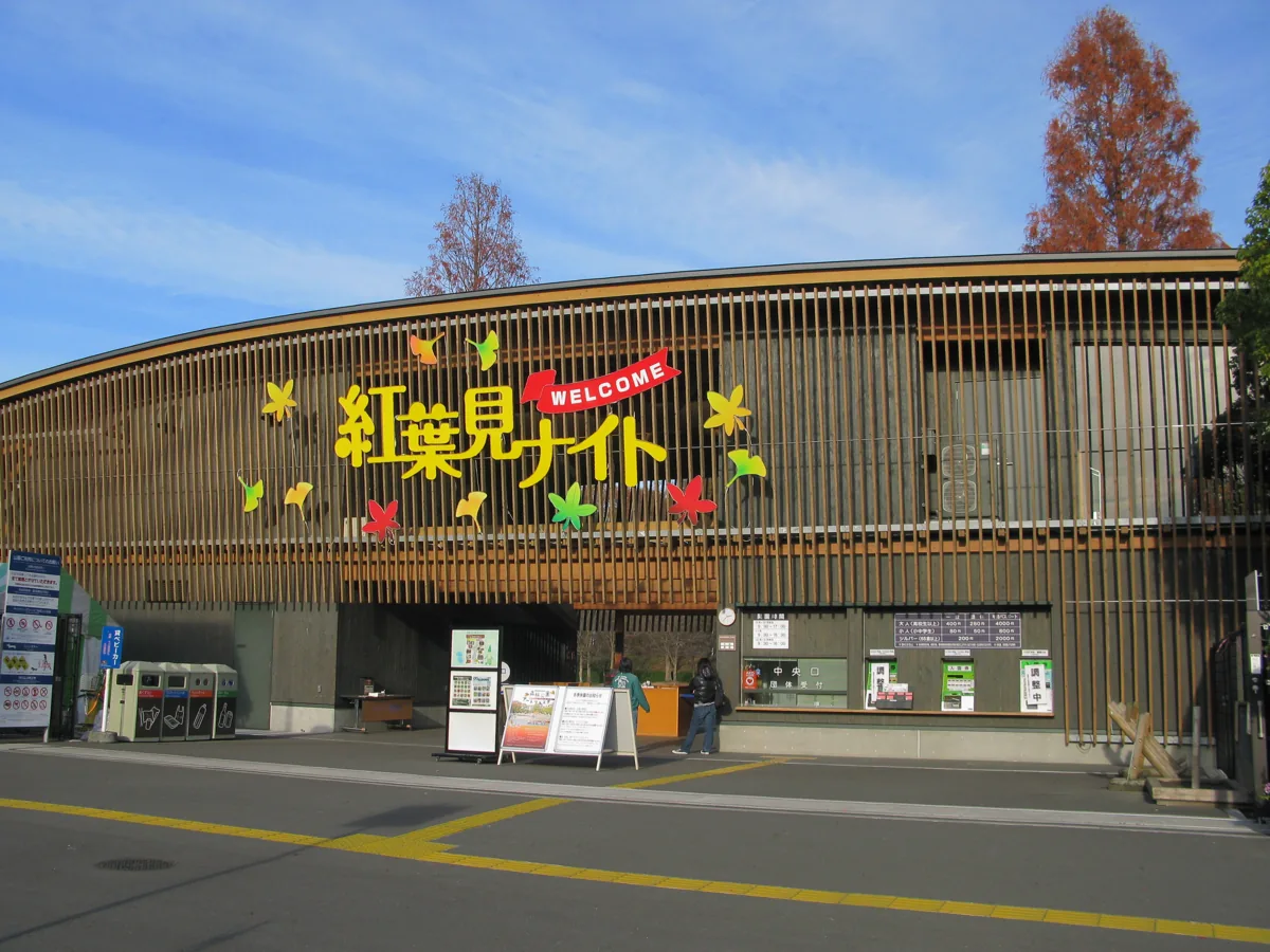
The photograph shows the Namegawa-side central entrance in 2011. The wider park also extends into Kumagaya, so it is not all within this town. Check seasonal events, admission, your exit gate and return transport, and use designated paths.
Getting there Check the current approach and return transport on the map.
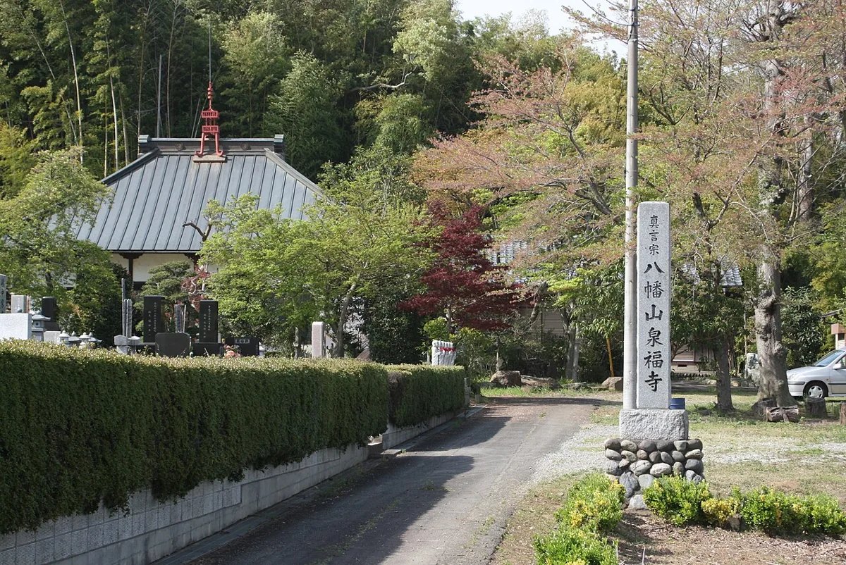
A temple in Izumi; the photograph shows its entrance and surroundings. The cultural-property statues are separate from this exterior view. Viewing them requires advance application to the education board and attendance by staff or others; follow the booking guidance and never enter storage facilities uninvited.
Getting there Check the current approach and return transport on the map.
The prefecture’s market guide introduces pickles, manju buns and seasonal foods made with Namegawa produce. Check origin and ingredient labels on fruit and processed goods. Stock varies seasonally, so confirm availability and opening days.
Resized, metadata removed and converted to WebP; display crops vary by screen. Adapted CC BY-SA photos retain the original license.
Photos are historical material dated in the credits, not a guarantee of present scenery or operation. Places without photos use decorative name panels.


 01
01