Start slowly, with one place. Find a view and a small meal.
長瀞町
Local historyFirst-visit planCheck transport
Hi, I’m Tabi!
Explore Iwadatami’s rock formations and the approach to Hodosan Shrine. Colors and flowers in the photographs reflect their capture dates. River access and worship have different conditions; check water levels, closures and routes separately.
This guide covers places within Nagatoro, rather than places immediately beside your app check-in.
01 · EXPLORE
Two places to begin
Two different places: start with whichever interests you.
01
A first-visit stop
Nagatoro Iwadatami
長瀞岩畳
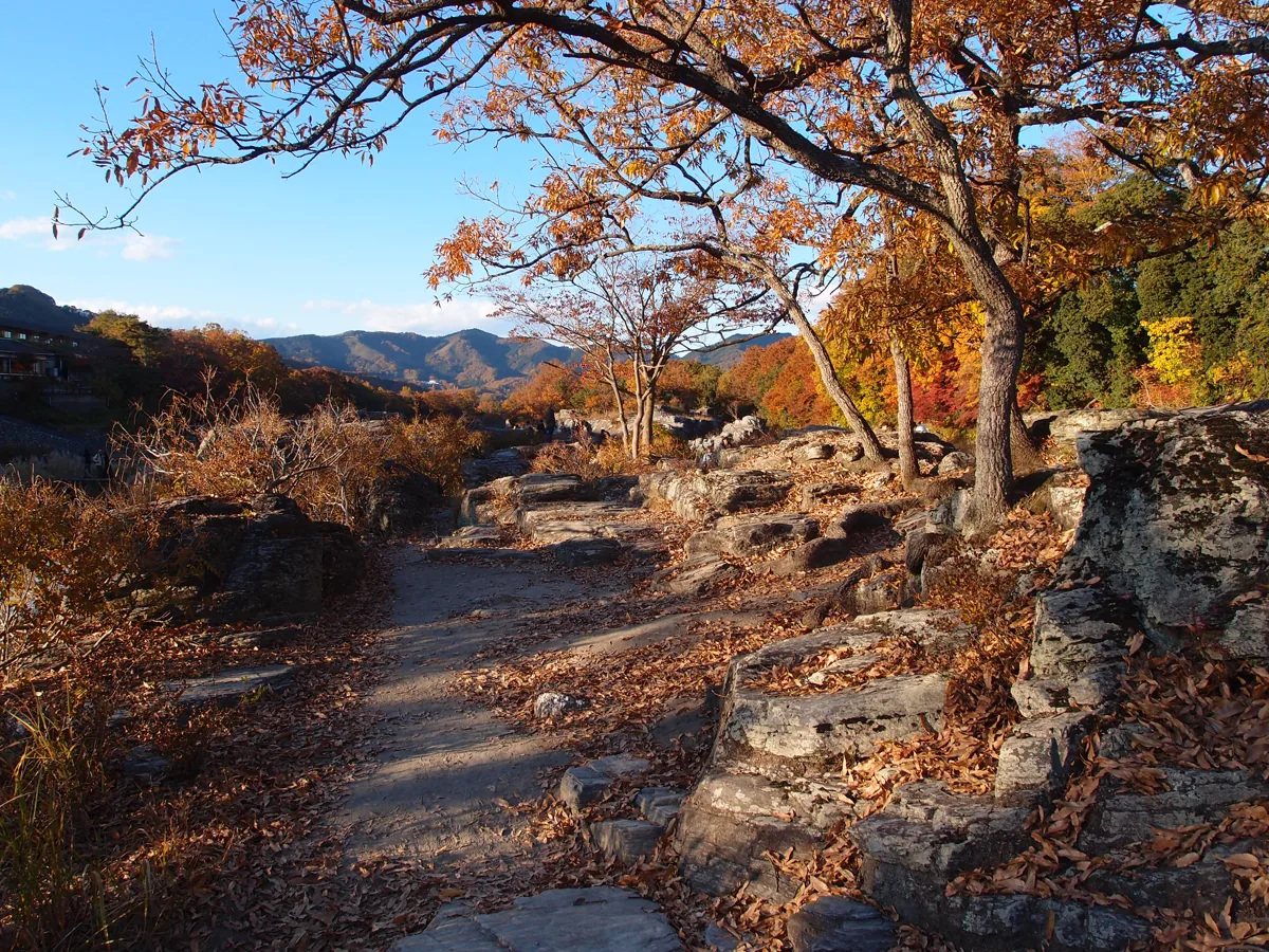
Rock formations extend in layers along the river. The photograph shows autumn 2013, not current water levels or foliage. Avoid wet rocks and exposed river edges and follow closures. This stop does not include entering the water or taking a boat.
Getting there Check the current approach and return transport on the map.
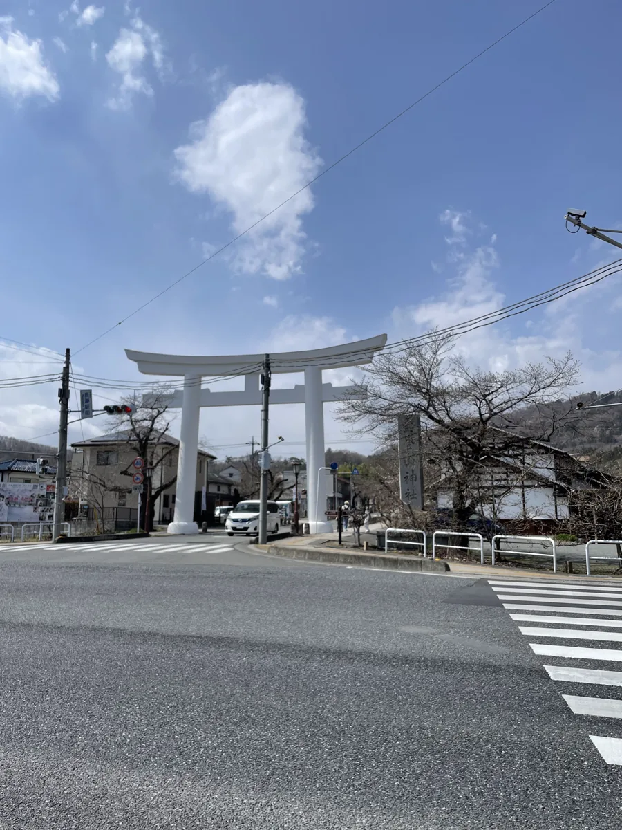
The image shows the white torii at the roadside approach, not the mountaintop inner shrine. Use crossings and pedestrian routes on the way to the main shrine. A summit visit or ropeway ride is a separate plan requiring its own access checks.
Getting there Check the current approach and return transport on the map.
The tourism association lists soba shops near the station, including Tajima. Consider soba or udon for a meal. Check opening and sell-outs, and ask about buckwheat, wheat and broth allergens before ordering.
Resized, metadata removed and converted to WebP; display crops vary by screen. Adapted CC BY-SA photos retain the original license.
Photos are historical material dated in the credits, not a guarantee of present scenery or operation. Places without photos use decorative name panels.


 01
01