 01
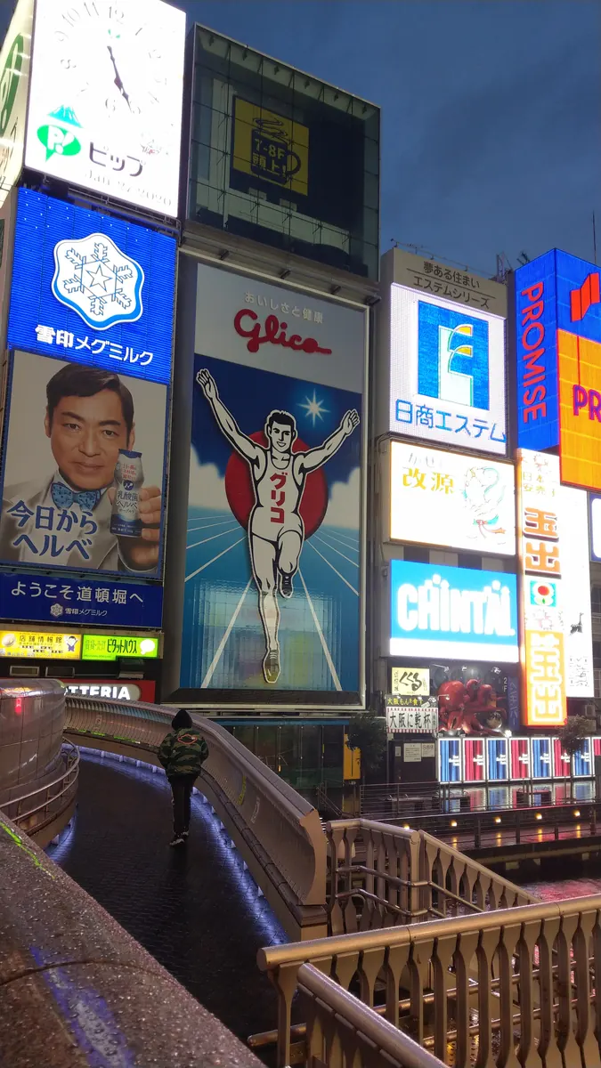
01Signs and riverside views
Dotonbori
道頓堀
A lively district in Osaka’s Minami area. Browse streets lined with restaurants and large signs, then enjoy the city atmosphere along the riverside promenade.
Nearby station
Namba Station
Japan · Osaka Prefecture
A little travel guide with Tabi
A little walk. A meal in a new city.
Begin with lively streets and a park around a castle.
 大阪 · OSAKA
Osaka is a big city, and choosing where to start can be tricky. Let’s meet the food and colorful signs around Namba, and a park surrounding a castle. Pick the atmosphere that appeals to you first.
This guide covers places within Osaka City, rather than the whole prefecture. They may be some distance from your app check-in point.
01 · EXPLORE

Lively streets or a quieter park. Choose a starting point; you don’t need to visit them all.
01Signs and riverside views
道頓堀
A lively district in Osaka’s Minami area. Browse streets lined with restaurants and large signs, then enjoy the city atmosphere along the riverside promenade.
Nearby station
Namba Station
02Slow down around the castle
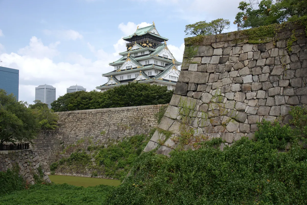
大阪城公園
A spacious park with Osaka Castle’s main tower and gardens. Walk around the castle for a change from the busy streets. Check each facility’s opening information and admission fees before entering the tower or gardens.
Nearby station
Morinomiya or Osakajokoen Station
 03
03Browse the market, pick a bite
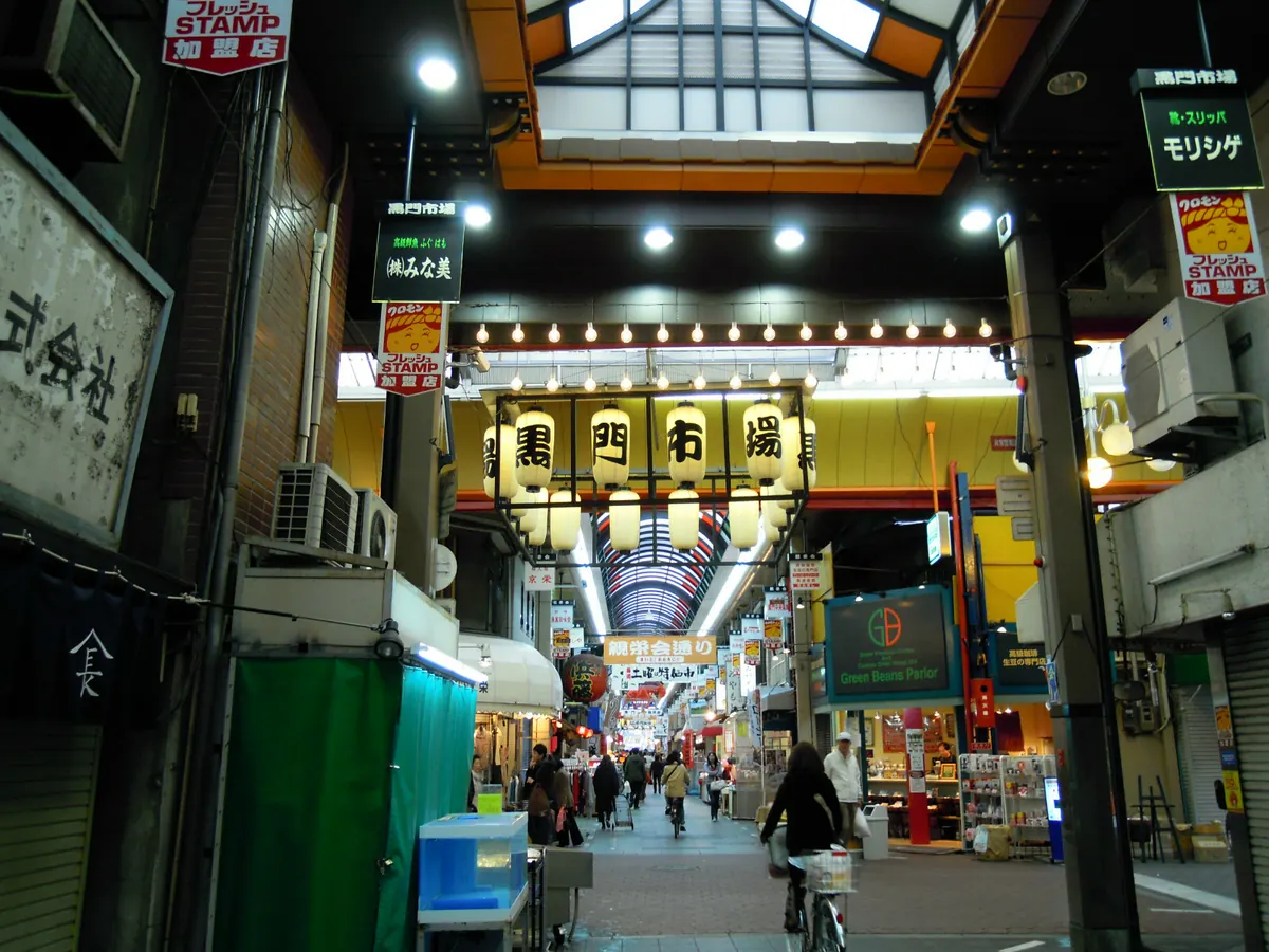
黒門市場
A market with shops selling seafood, vegetables, fruit and food. Look at menus and prices before choosing something to eat. Opening hours vary from shop to shop.
Nearby station
Nippombashi Station
02 · A LITTLE BITE
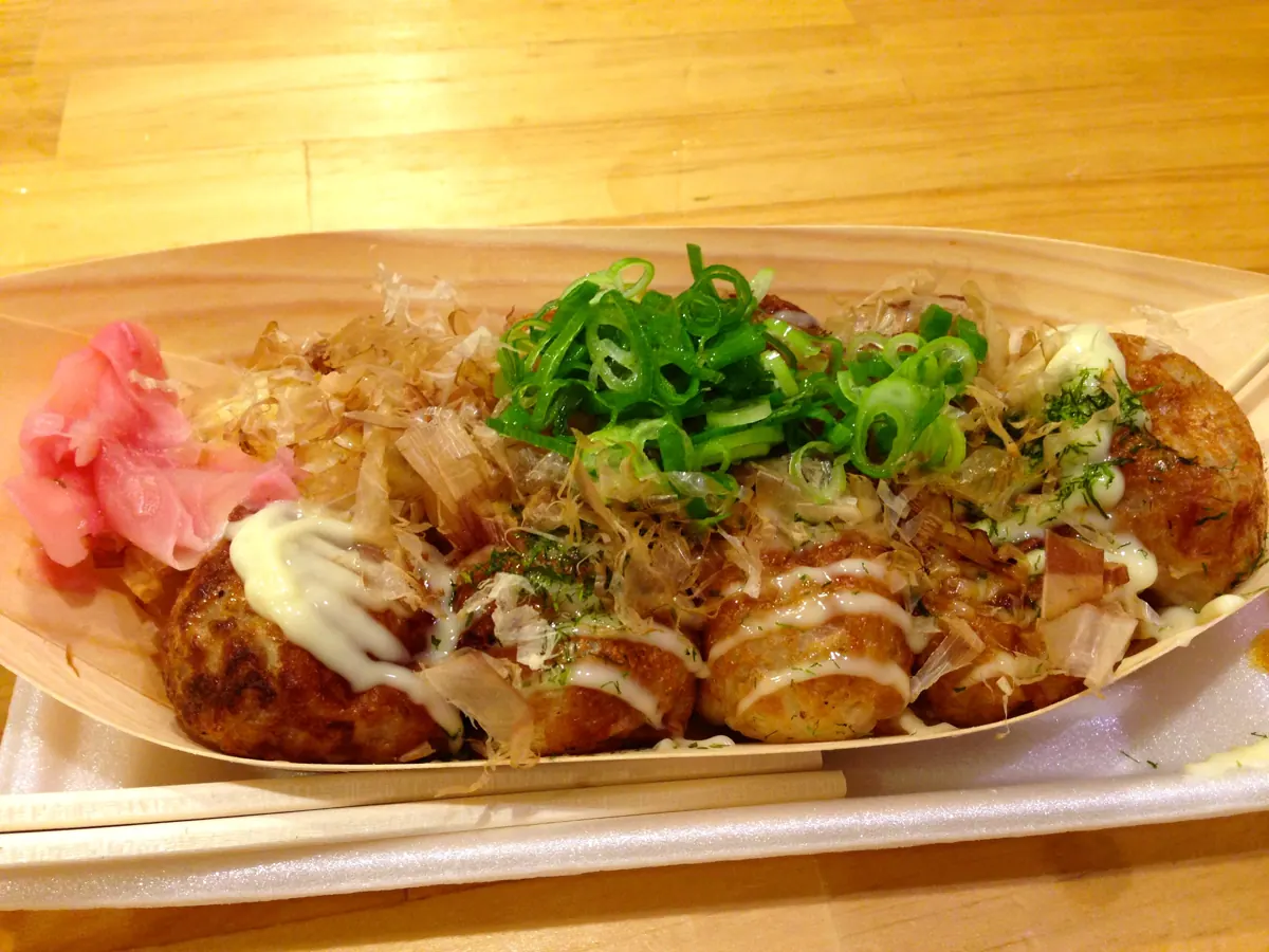
Takoyaki and okonomiyaki are well-known Osaka foods. Start by looking at menu photos and prices, then choose one dish. At Kuromon Market you can also browse seafood and other food stalls. Ask about allergens and where you can eat before ordering.
Official guide03 · YOUR FIRST WALK
Namba Station → Dotonbori → Kuromon Market. This is Tabi’s suggested first stroll. Visiting just one place is fine, too. Plan Osaka Castle Park as a separate visit rather than adding it to this walk.
Check the walking routeCheck the map for actual distances and travel times. This suggested walk is separate from your app’s travel record.

Information checked:
Resized, metadata removed and converted to WebP; images may be cropped to fit the screen. Adapted CC BY-SA images retain the same license.
Images were photographed in 2009 and 2020, or uploaded in 2010. Signs, shops and scenery may look different today.


