Start slowly, with one place. Find a view and a small meal.
与那国町
Local historyFirst-visit planCheck transport
Hi, I’m Tabi!
Visit eastern Agarizaki and western Irizaki. The capes are far apart: check transport and weather first.
This guide covers places within Yonaguni, rather than places immediately beside your app check-in.
01 · EXPLORE
Two places to begin
Two different places: start with whichever interests you.
01
A first-visit stop
Agarizaki
東崎
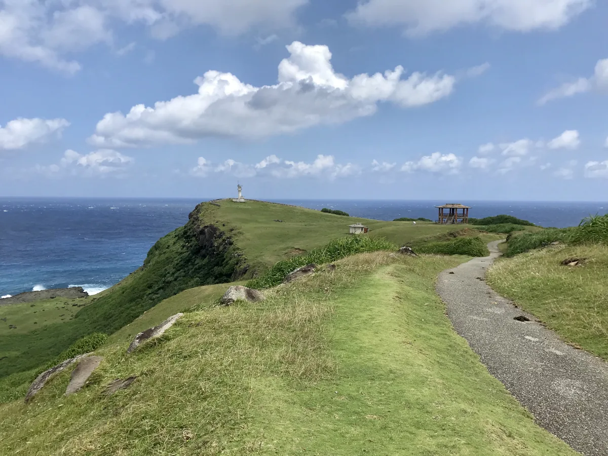
A cape with cliffs and grassland at the island’s eastern end, photographed in September 2019. Do not approach or feed grazing animals, especially by going between parents and young. Keep back from cliff edges.
Getting there Check the current approach and return transport on the map.
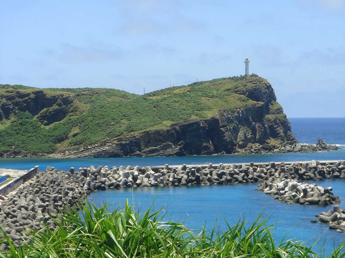
A cape at Yonaguni Island’s western end. This July 2006 photograph looks toward the cape from outside. Check current access and wind and keep to permitted paths. Check current drone restrictions.
Getting there Check the current approach and return transport on the map.
The tourism association introduces dishes and karaage made with billfish landed at Kubura. Ask the shop about the current species, preparation and ingredients.
Resized, metadata removed and converted to WebP; display crops vary by screen. Adapted CC BY-SA photos retain the original license.
Photos are historical material dated in the credits, not a guarantee of present scenery or operation. Places without photos use decorative name panels.


 01
01