Start slowly, with one place. Find a view and a small meal.
玉野市
Local historyFirst-visit planCheck transport
Hi, I’m Tabi!
Tamano is a city on Okayama’s Seto Inland Sea coast. Explore Miyama Park’s greenery and Shibukawa’s coast as separate visits. Not every island visible across the water belongs to Tamano City.
This guide covers places within Tamano, rather than places immediately beside your app check-in.
01 · EXPLORE
Two places to begin
Two different places: start with whichever interests you.
01
A first-visit stop
Miyama Park
深山公園
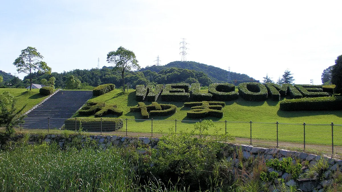
A park with greenery and walking areas; the photo shows landscaping at its entrance in 2010. General park paths and separate facilities such as the English garden may have different admission and closure conditions. Check open areas and the current route.
Getting there Check the current approach and return transport on the map.
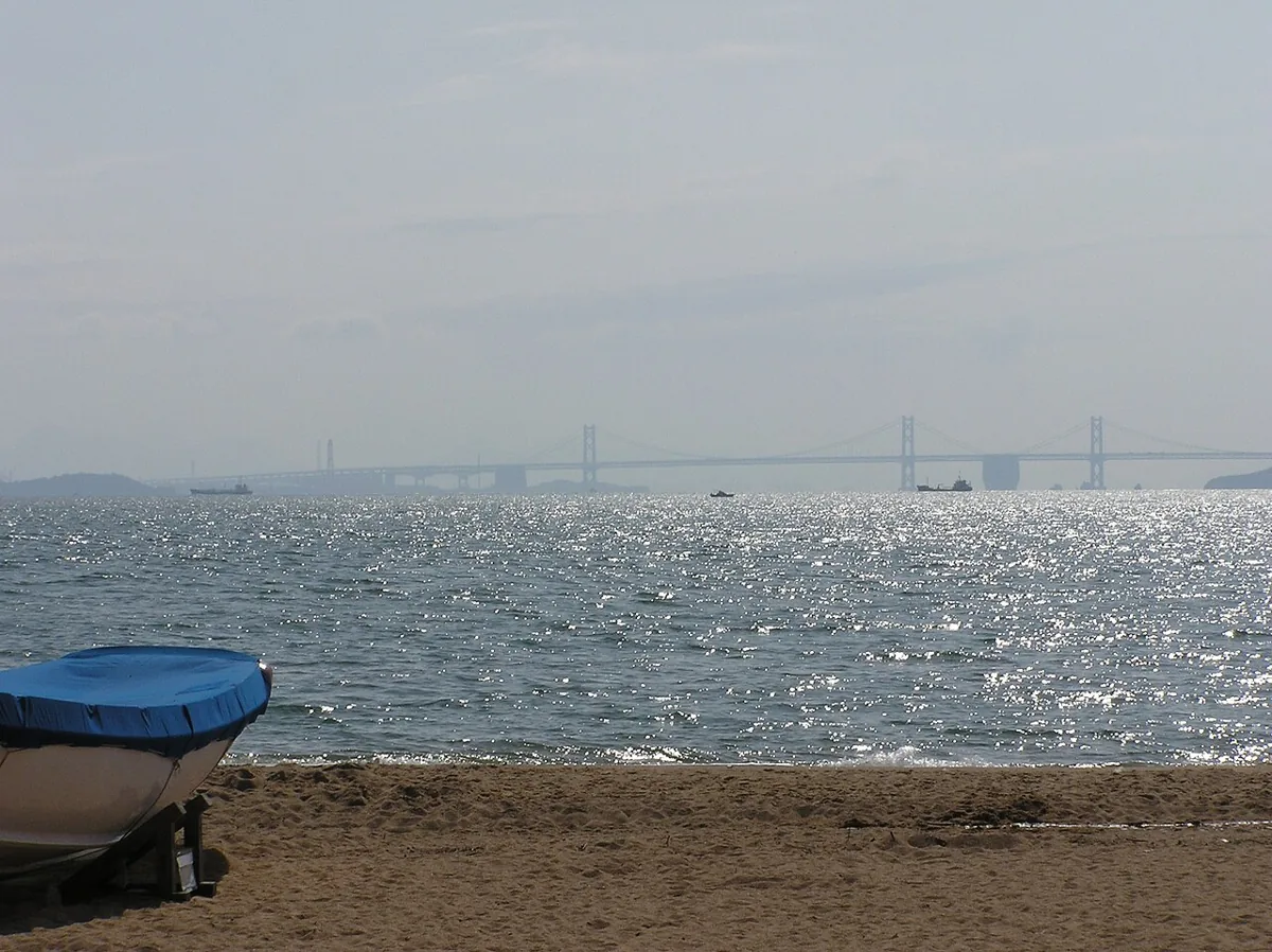
A sandy coast overlooking the Seto Inland Sea. The photo was uploaded in 2011, with its exact capture date unverified. Coastal walking and summer beach operations are separate matters; check permitted areas, weather and current facilities for your visit.
Getting there Check the current approach and return transport on the map.
City guidance introduces produce and fish sold near the park, along with dining facilities. City origin and Okayama prefectural origin are different scopes; check ingredients and stated origins on products and menus. Shops, restaurants and food trucks may operate on different days.
Resized, metadata removed and converted to WebP; display crops vary by screen. Adapted CC BY-SA photos retain the original license.
Photos are historical material dated in the credits, not a guarantee of present scenery or operation. Places without photos use decorative name panels.


 01
01