Start slowly, with one place. Find a view and a small meal.
九重町
Local historyFirst-visit planCheck transport
Hi, I’m Tabi!
Kokonoe is a mountainous town in Oita. Explore valley scenery through the Yume suspension bridge and Kyusuikei. Do not assume the entire Kuju mountain area lies within the town; check current access and return transport.
This guide covers places within Kokonoe, rather than places immediately beside your app check-in.
01 · EXPLORE
Two places to begin
Two different places: start with whichever interests you.
01
A first-visit stop
Kokonoe Yume Suspension Bridge
九重“夢”大吊橋
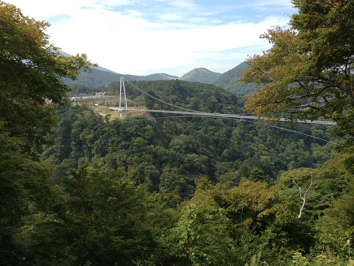
A pedestrian suspension bridge over a valley, with water and woodland scenery. Check the operator’s current admission, weather restrictions and rules for belongings. Its image is a historical photograph from 2013.
Getting there Check the current approach and return transport on the map.
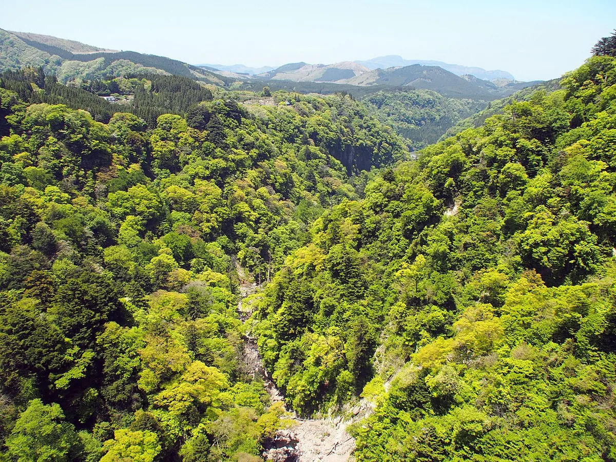
A gorge landscape of woodland and rock. The photo shows green foliage in May 2013, not current autumn colors. Roadsides are not all footpaths or parking areas; check currently permitted viewing and access points.
Getting there Check the current approach and return transport on the map.
The bridge operator describes sales of local vegetables, fruit, processed products and burgers at its shop. Confirm meat types, actual ingredients and allergens before ordering. A name alone does not establish that every ingredient is town-grown; opening conditions and stock may change.
Resized, metadata removed and converted to WebP; display crops vary by screen. Adapted CC BY-SA photos retain the original license.
Photos are historical material dated in the credits, not a guarantee of present scenery or operation. Places without photos use decorative name panels.


 01
01