Start slowly, with one place. Find a view and a small meal.
日田市
Local historyFirst-visit planCheck transport
Hi, I’m Tabi!
Hita is a city in Oita with waterways and a historic trading-town heritage. Explore Mameda’s streets and Kangien, a former private school, for traces of architecture and learning. This is also a living neighborhood, so respect residents’ spaces.
This guide covers places within Hita, rather than places immediately beside your app check-in.
01 · EXPLORE
Two places to begin
Two different places: start with whichever interests you.
01
A first-visit stop
Mameda Townscape
豆田町の町並み
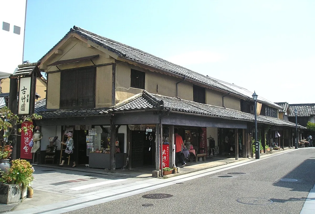
A district preserving traditional buildings and the layout of a historic trading town. Its conservation area contains buildings from different periods. Distinguish shops from private homes and explore from permitted public streets.
Getting there Check the current approach and return transport on the map.
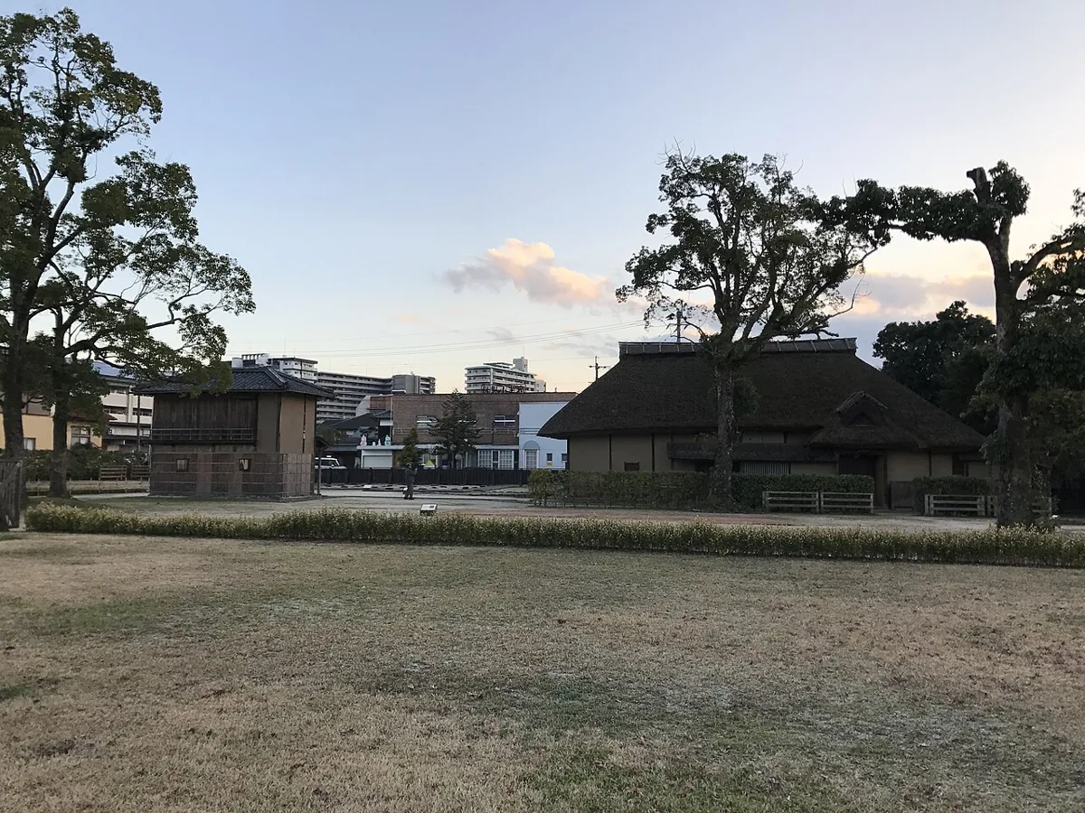
A historic site associated with Hirose Tanso’s private school. The photo shows Enshiro and Shufuan in 2016. The site and neighboring education research center have different hours and closures; check each separately. It is not presented as a UNESCO World Heritage inscription.
Getting there Check the current approach and return transport on the map.
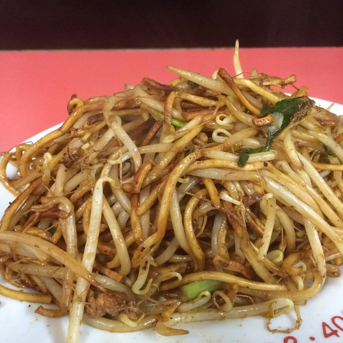
A historical serving example, not a current restaurant recommendation or operating guarantee
Official prefectural guidance describes Hita yakisoba’s browned, crisp noodle texture. The photo is an example taken at Hoka in 2015, not proof of that shop’s current operation or menu. Check the opening conditions, menu and allergens of the establishment you plan to visit now.
Resized, metadata removed and converted to WebP; display crops vary by screen. Adapted CC BY-SA photos retain the original license.
Photos are historical material dated in the credits, not a guarantee of present scenery or operation. Places without photos use decorative name panels.


 01
01