Start slowly, with one place. Find a view and a small meal.
妙高市
Local historyFirst-visit planCheck transport
Hi, I’m Tabi!
Myoko is a city in Niigata. Begin with the Myoko-side approach to Naena Falls or Imori Pond. The waterfall lies on the prefectural border and part of the path passes through Nagano; the entire route is not presented as being within Myoko.
This guide covers places within Myoko, rather than places immediately beside your app check-in.
01 · EXPLORE
Two places to begin
Two different places: start with whichever interests you.
01
A first-visit stop
Myoko-side Approach to Naena Falls
苗名滝・妙高側の出発地点
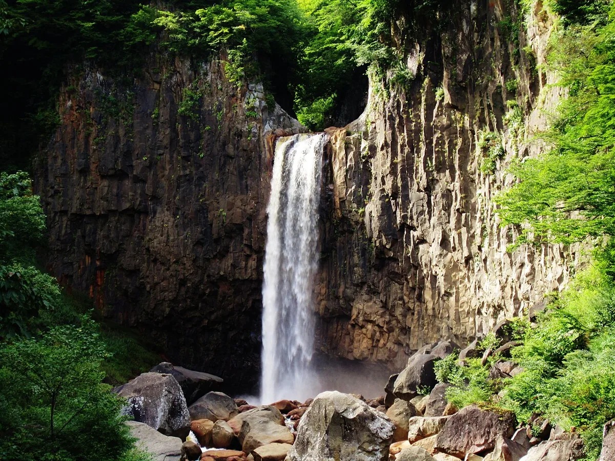
Start from the Myoko side for a waterfall on the Niigata–Nagano border, shown in 2012. The path crosses the prefectural boundary. Check current access, stairs, weather and water levels with official guidance.
Getting there Check the current approach and return transport on the map.
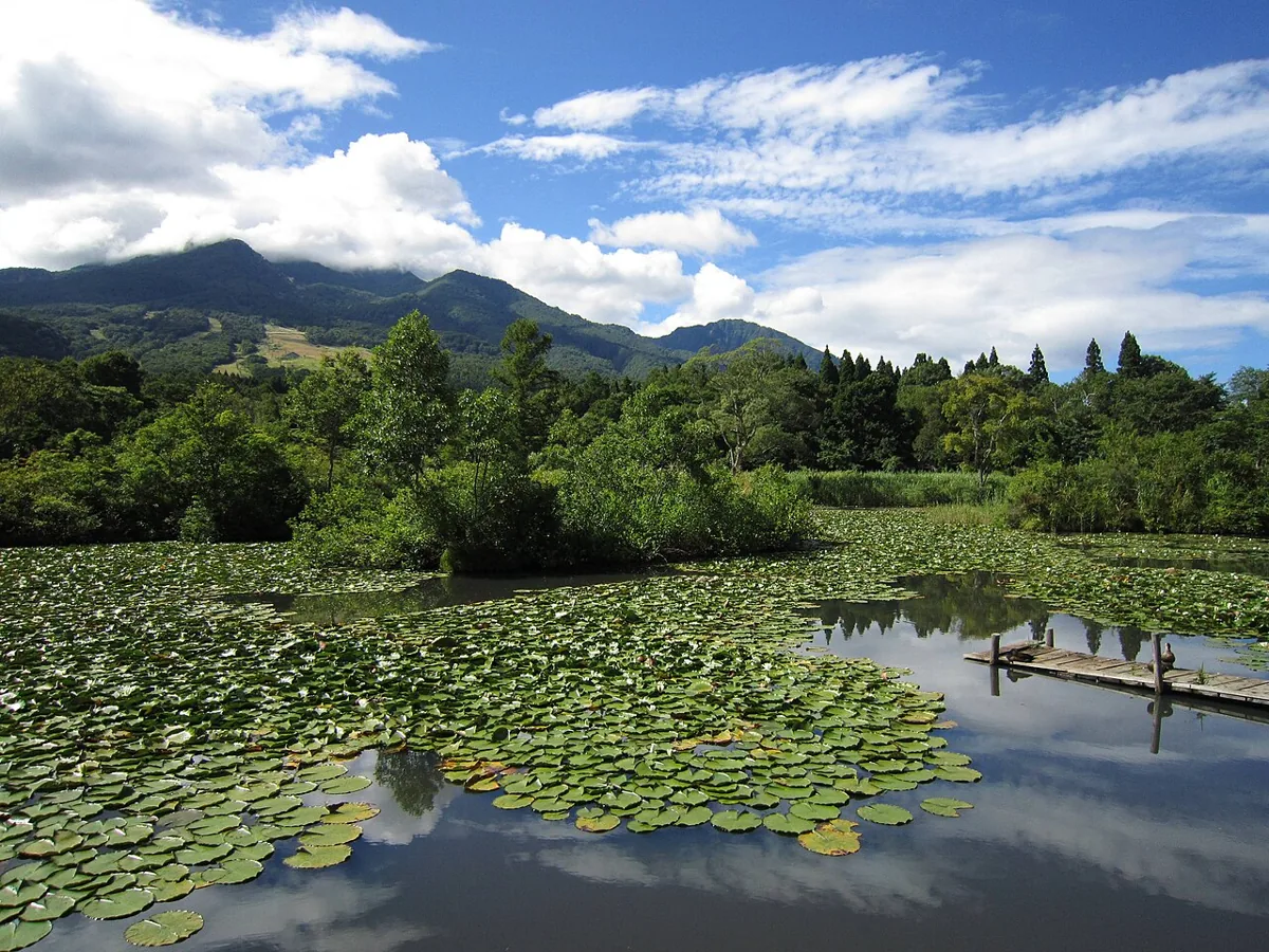
A pond in Ikenotaira Nature Garden whose Myoko mountain views are documented by the city. The image shows its landscape in 2012. Views depend on weather; check current paths, snow and site guidance.
Getting there Check the current approach and return transport on the map.
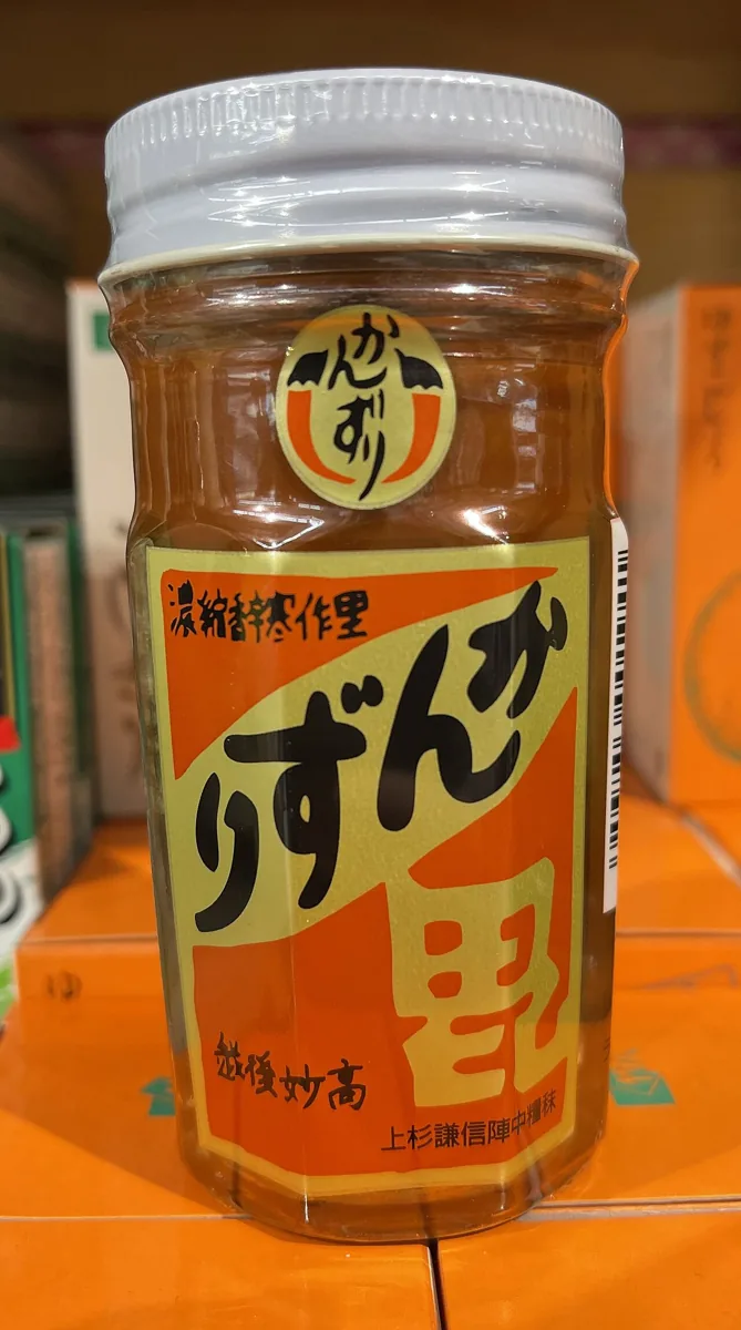
A product photograph from 2022; current recipes and availability may differ.
The city features kanzuri, a fermented chili condiment, among its specialties, and the producer provides product information. The photograph shows a bottled product in 2022. Check current recipes, ingredient origins, heat and sales; the photograph is not claimed to have been taken in Myoko.
Resized, metadata removed and converted to WebP; display crops vary by screen. Adapted CC BY-SA photos retain the original license.
Photos are historical material dated in the credits, not a guarantee of present scenery or operation. Places without photos use decorative name panels.


 01
01