Start slowly, with one place. Find a view and a small meal.
下北山村
Local historyFirst-visit planCheck transport
Hi, I’m Tabi!
Explore the dam landscape and a forest-fringed pond in Shimokitayama. Check mountain roads and accessible areas, and plan travel between the two separately.
This guide covers places within Shimokitayama, rather than places immediately beside your app check-in.
01 · EXPLORE
Two places to begin
Two different places: start with whichever interests you.
01
A first-visit stop
Ikehara Dam area
池原ダム周辺
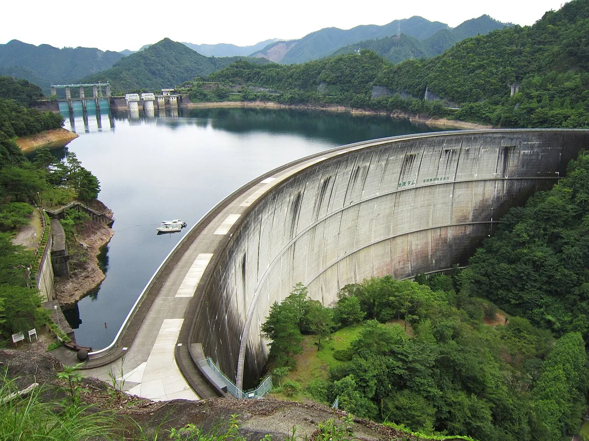
The dam and water form part of a mountain landscape. The photo dates from 2010 and does not establish current water levels or access. Stay out of operational facilities and use permitted viewing areas.
Getting there Check the current approach and return transport on the map.
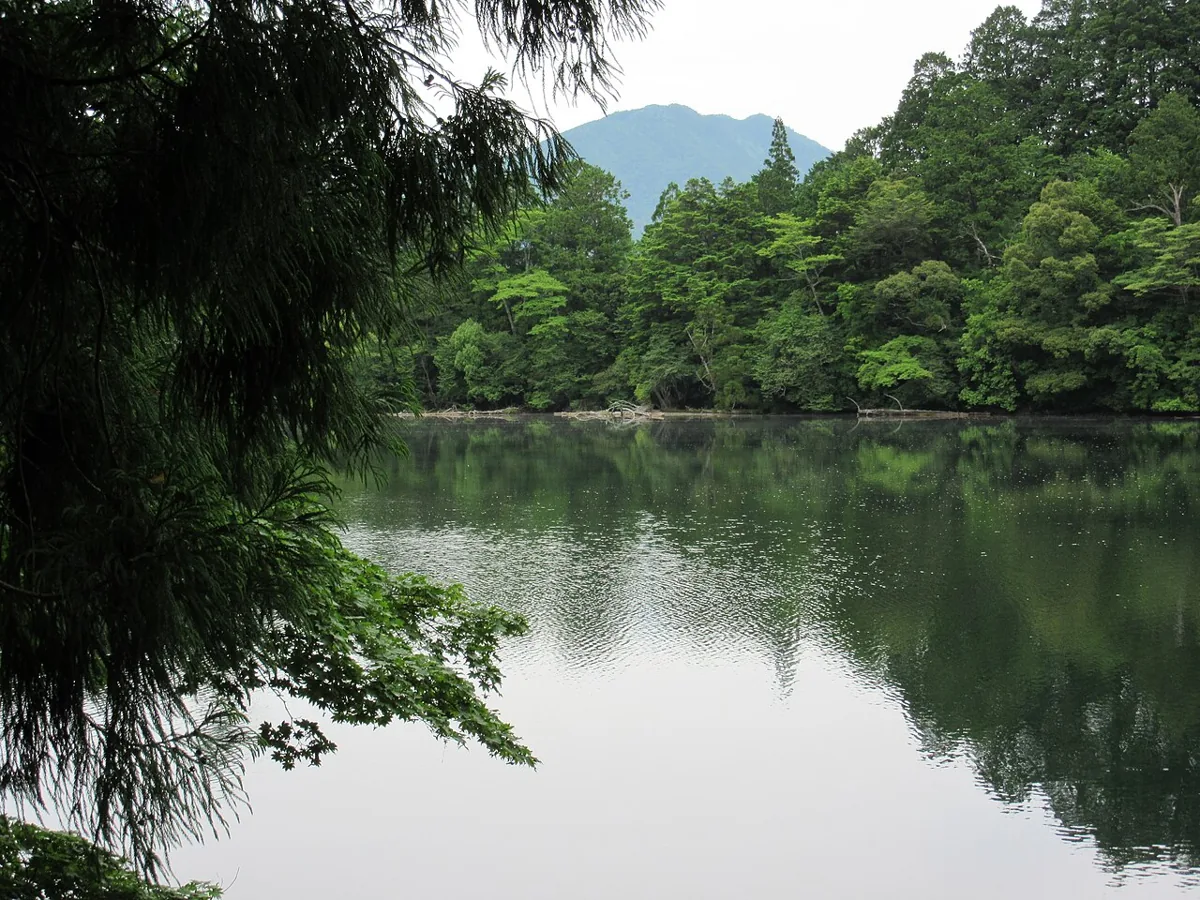
A forest pond associated with Ike Shrine. The photo dates from 2016. Respect the sacred setting, and check for wet paths, trail restrictions and current guidance.
Getting there Check the current approach and return transport on the map.
Shimokita harumana is a traditional local vegetable. Fresh produce and processed products have different sales seasons; check current supply and ingredients.
Resized, metadata removed and converted to WebP; display crops vary by screen. Adapted CC BY-SA photos retain the original license.
Photos are historical material dated in the credits, not a guarantee of present scenery or operation. Places without photos use decorative name panels.


 01