Start slowly, with one place. Find a view and a small meal.
桜井市
Local historyFirst-visit planCheck transport
Hi, I’m Tabi!
Sakurai is a city in Nara. Omiwa Shrine and Hasedera offer different religious spaces and local history. Distinguish this Hasedera from the namesake temple in Kamakura and check access and transport separately.
This guide covers places within Sakurai, rather than places immediately beside your app check-in.
01 · EXPLORE
Two places to begin
Two different places: start with whichever interests you.
01
A first-visit stop
Omiwa Shrine
大神神社
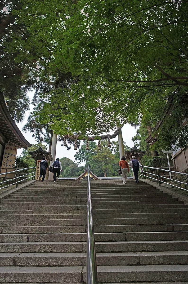
A shrine venerating Mount Miwa as its sacred body. The image shows a shrine view from 2011 rather than evidence of present conditions or special access. Check shrine visiting and mountain-entry rules separately.
Getting there Check the current approach and return transport on the map.
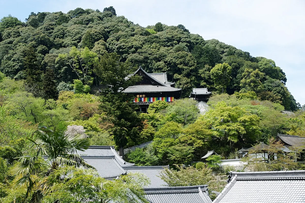
A temple in Hatsuse whose main hall and corridors are documented by the city. The photograph shows the hall and surrounding landscape in 2009. It does not promise today’s flowers or special access; check stairs and current visiting guidance.
Getting there Check the current approach and return transport on the map.
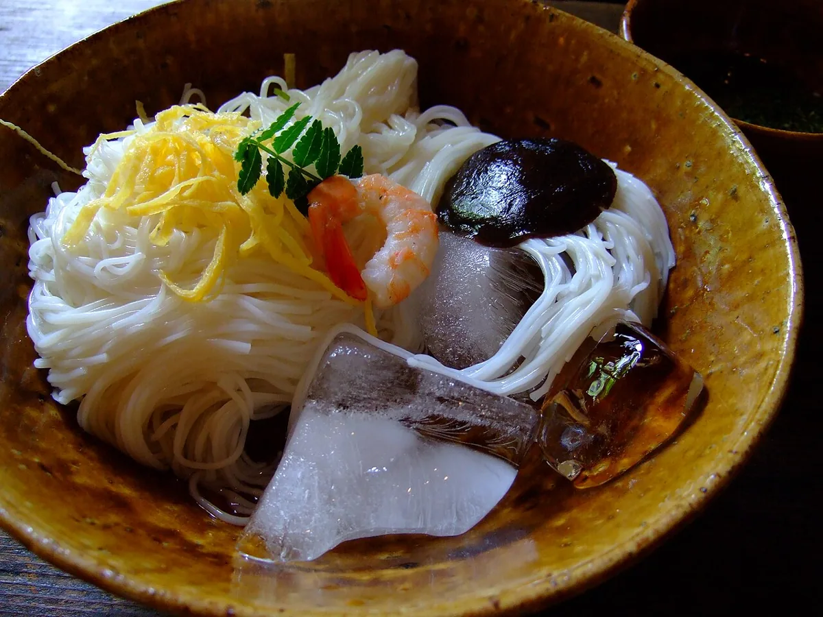
A historical Miwa somen photograph from 2008, rather than a current shop menu.
The city features Miwa somen as local hand-stretched noodles. Check current products, preparation, broth ingredients and allergens. Origin traditions are treated as traditions, without assuming all wheat or ingredients were produced within the city.
Resized, metadata removed and converted to WebP; display crops vary by screen. Adapted CC BY-SA photos retain the original license.
Photos are historical material dated in the credits, not a guarantee of present scenery or operation. Places without photos use decorative name panels.


 01
01