Start slowly, with one place. Find a view and a small meal.
大鹿村
Local historyFirst-visit planCheck transport
Hi, I’m Tabi!
Oshika is a village in Nagano. Explore geological history at the Median Tectonic Line Museum or local scenery at Onishi Park. Photographs date from 2008 and do not guarantee current scenery or operations. Check current roads, public access and return services for each.
This guide covers places within Oshika, rather than places immediately beside your app check-in.
01 · EXPLORE
Two places to begin
Two different places: start with whichever interests you.
01
A first-visit stop
Median Tectonic Line Museum
中央構造線博物館
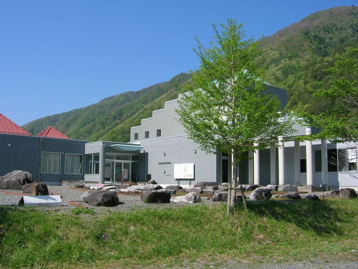
A museum for learning about the Median Tectonic Line and regional geology, shown externally in 2008. Check current exhibitions, interpretation and visiting guidance. Geological interpretation is not presented as a prediction of present earthquakes.
Getting there Check the current approach and return transport on the map.
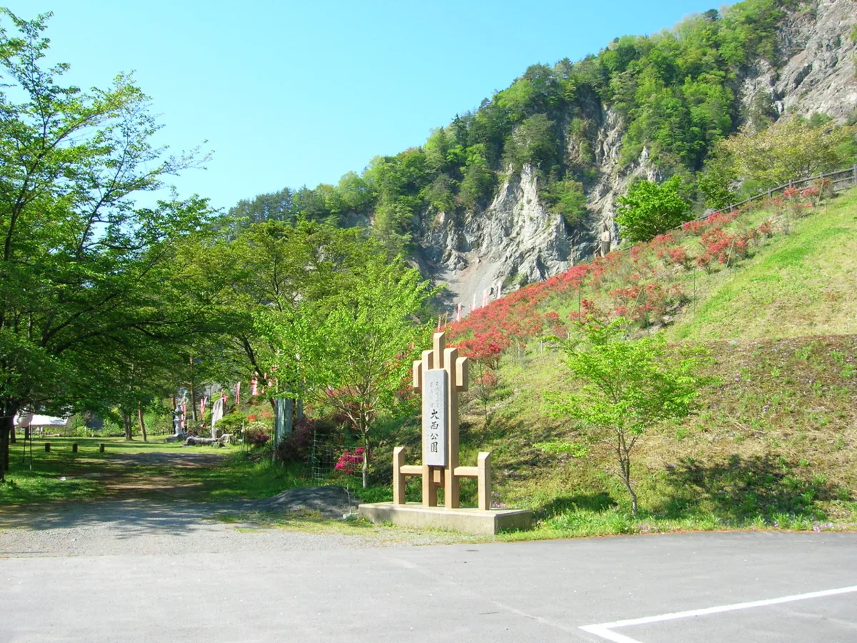
A park documented by village tourism guidance, photographed in May 2008. The image does not promise today’s flowers or views. Check interpretation of its disaster-related history, site guidance and current public paths.
Getting there Check the current approach and return transport on the map.
Village tourism guidance features yamashio salt produced by simmering saline water. Check actual ingredients, origins and availability for salt and related products. This guide makes no health promises or definitive claims about the saline water’s geological origin.
Resized, metadata removed and converted to WebP; display crops vary by screen. Adapted CC BY-SA photos retain the original license.
Photos are historical material dated in the credits, not a guarantee of present scenery or operation. Places without photos use decorative name panels.


 01
01