Start slowly, with one place. Find a view and a small meal.
大桑村
Local historyFirst-visit planCheck transport
Hi, I’m Tabi!
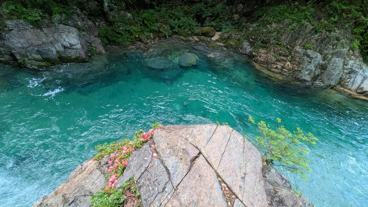
Okuwa is a village in Nagano’s Kiso area. Explore river scenery at Atera Valley or regional history at Joshoji in Suhara. The hero photograph shows Kumagafuchi on the Atera River in July 2026. Check current guidance and return transport rather than assuming identical water levels or access today.
This guide covers places within Okuwa, rather than places immediately beside your app check-in.
01 · EXPLORE
Two places to begin
Two different places: start with whichever interests you.
01
A first-visit stop
Atera Valley
阿寺渓谷
A valley of woodland and river scenery along the Atera River, with Kumagafuchi photographed in July 2026. Check road, vehicle and path restrictions, weather and water levels; do not assume unrestricted access onto rocks or into the water.
Getting there Check the current approach and return transport on the map.
A temple in Suhara whose historical buildings, including the main hall and gate, are documented by the village. A decorative name panel avoids photographs of namesake temples elsewhere. Check current visiting, public access and photography guidance.
Getting there Check the current approach and return transport on the map.
Official village guidance features goheimochi rice cakes and sauces using perilla seeds. Check actual recipes, allergen information and availability with each shop rather than assuming all village products share ingredients or origins.
Resized, metadata removed and converted to WebP; display crops vary by screen. Adapted CC BY-SA photos retain the original license.
Photos are historical material dated in the credits, not a guarantee of present scenery or operation. Places without photos use decorative name panels.


 01
01
