Start slowly, with one place. Find a view and a small meal.
宮田村
Local historyFirst-visit planCheck transport
Hi, I’m Tabi!
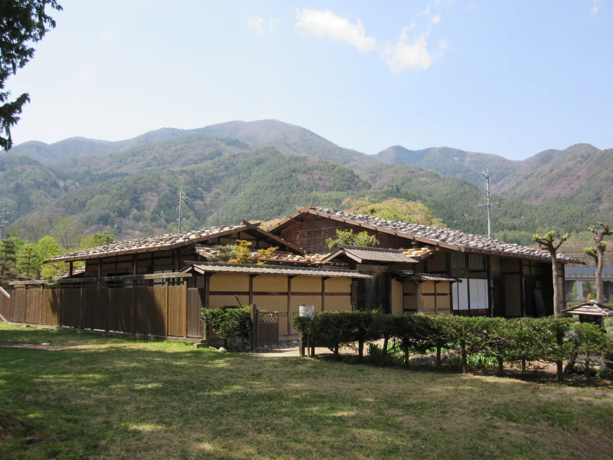
Miyada is a village in Nagano. Explore local history at Miyada-juku Honjin or woodland paths along the Kurokawa at Komorebi no Michi. The photograph shows the honjin in 2016, rather than the walking path. Check current opening, path conditions and return services for each.
This guide covers places within Miyada, rather than places immediately beside your app check-in.
01 · EXPLORE
Two places to begin
Two different places: start with whichever interests you.
01
A first-visit stop
Miyada-juku Honjin
宮田宿本陣
A relocated and restored honjin building from the former post town, shown externally in 2016. Check current public areas, interior visiting and photography guidance with the facility.
Getting there Check the current approach and return transport on the map.
A woodland walking path along the Kurokawa. A decorative place-name panel is used because an actual path photograph with verified subject and reuse rights was unavailable. Check post-rain path conditions, access restrictions and return transport; nearby facilities have separate operating guidance.
Getting there Check the current approach and return transport on the map.
Village tourism guidance features an apple-tree ownership scheme as an example of local agriculture. It does not establish year-round apple sales or unrestricted picking. Check varieties, current availability, harvest-activity registration conditions and actual origins.
Resized, metadata removed and converted to WebP; display crops vary by screen. Adapted CC BY-SA photos retain the original license.
Photos are historical material dated in the credits, not a guarantee of present scenery or operation. Places without photos use decorative name panels.


 01
01
