Start slowly, with one place. Find a view and a small meal.
南相木村
Local historyFirst-visit planCheck transport
Hi, I’m Tabi!
Minamiaiki is a mountain village in Nagano. Explore water and mountain scenery at Minamiaiki Dam or Tateiwa Lake. Historical photographs do not guarantee current access, water levels or facility operations. Check seasonal road restrictions towards the dam and your return services.
This guide covers places within Minamiaiki, rather than places immediately beside your app check-in.
01 · EXPLORE
Two places to begin
Two different places: start with whichever interests you.
01
A first-visit stop
Minamiaiki Dam
南相木ダム
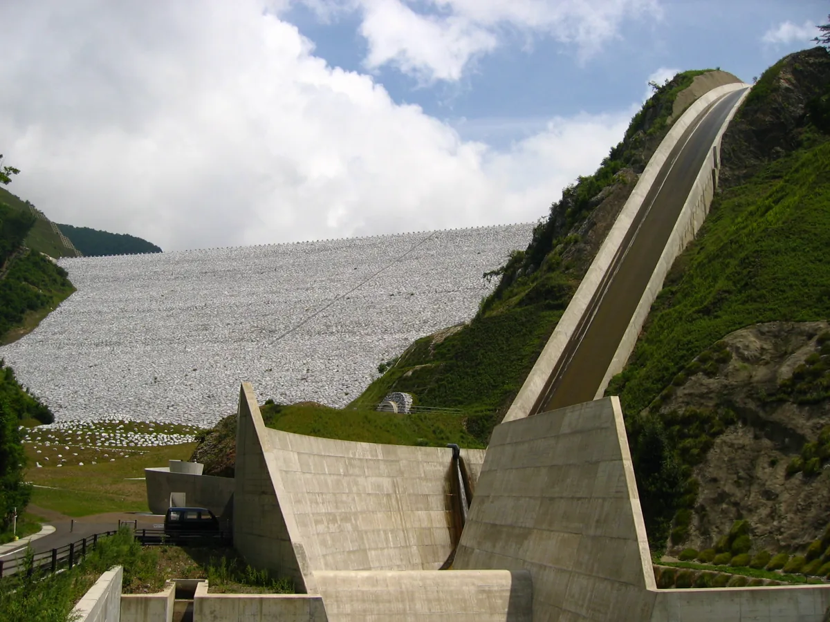
A rock-fill dam built using rock and earth, photographed in 2006. The image does not authorize entry into management areas or waterways. Check winter road restrictions and current public-area notices.
Getting there Check the current approach and return transport on the map.
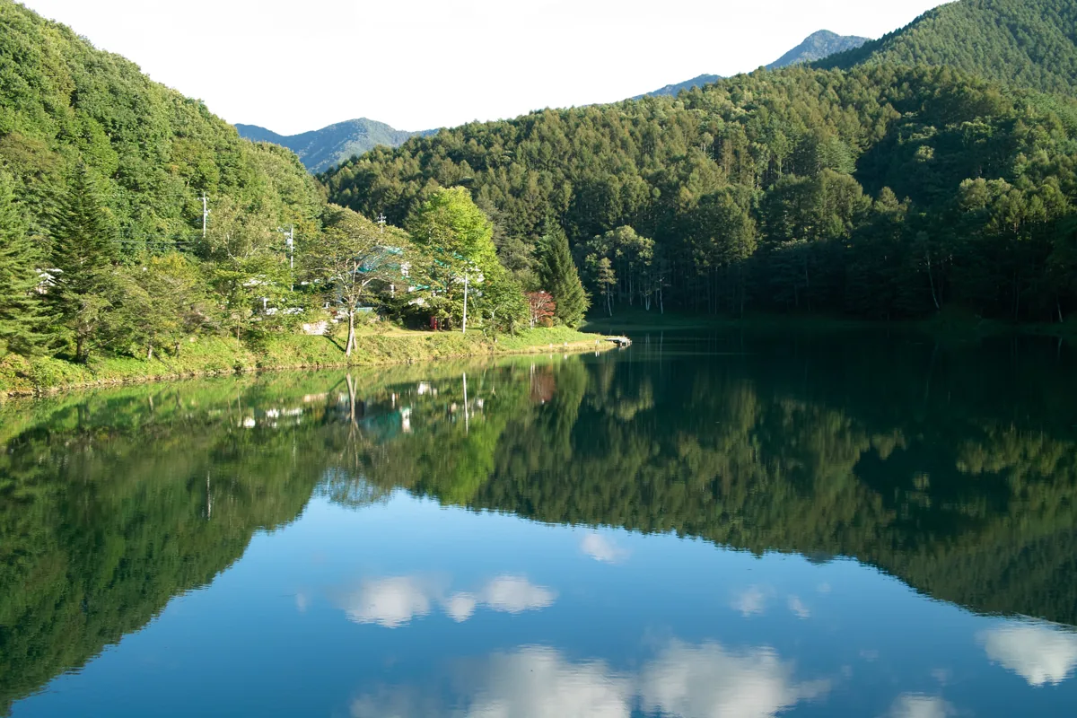
A lake documented by the village, photographed in September 2011. Check current lakeside paths, water levels and local guidance. Fishing requires separate checks of rules and permissions; the photograph does not support a swimming or boating recommendation.
Getting there Check the current approach and return transport on the map.
Takimi no Yu’s operator features Aiki soba made with village-grown buckwheat. This is one operator’s menu example. Check current menus, buckwheat allergens and actual ingredients rather than extending the same ingredient claim to every village soba dish.
Resized, metadata removed and converted to WebP; display crops vary by screen. Adapted CC BY-SA photos retain the original license.
Photos are historical material dated in the credits, not a guarantee of present scenery or operation. Places without photos use decorative name panels.


 01
01