Start slowly, with one place. Find a view and a small meal.
飯島町
Local historyFirst-visit planCheck transport
Hi, I’m Tabi!
Explore an Ina Valley town with views toward two alpine ranges. Browse local produce at a roadside station, then take time beside the pond in a mountain-view park.
This guide covers places within Iijima, rather than places immediately beside your app check-in.
01 · EXPLORE
Two places to begin
Two different places: start with whichever interests you.
01
A first-visit stop
Hana no Sato Iijima
道の駅 花の里いいじま
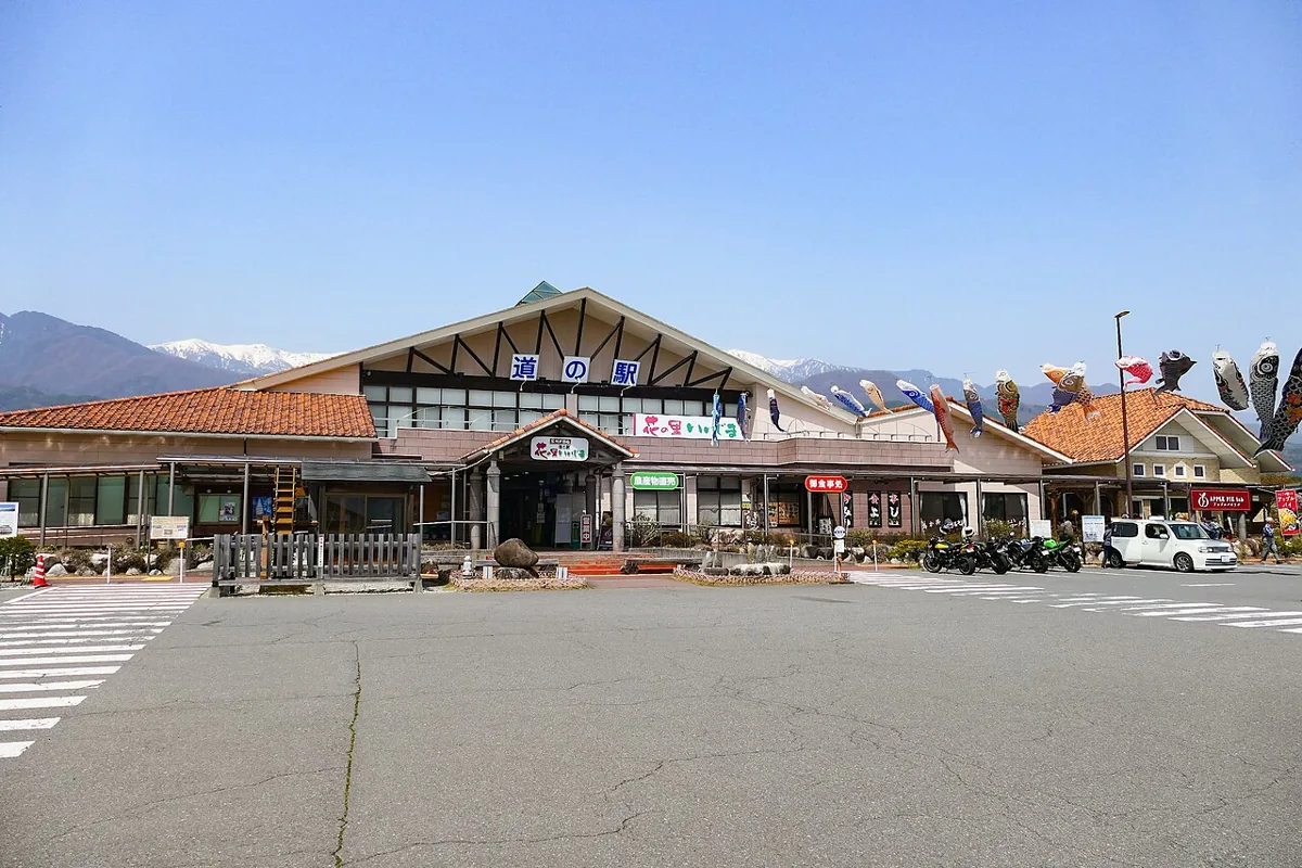
Browse local vegetables, fruit, flowers and processed foods at this roadside station. The photograph shows the exterior in spring 2025. Market, restaurant and individual shop hours may differ. Mountain snow and visibility also depend on weather and season.
Getting there Check the current approach and return transport on the map.
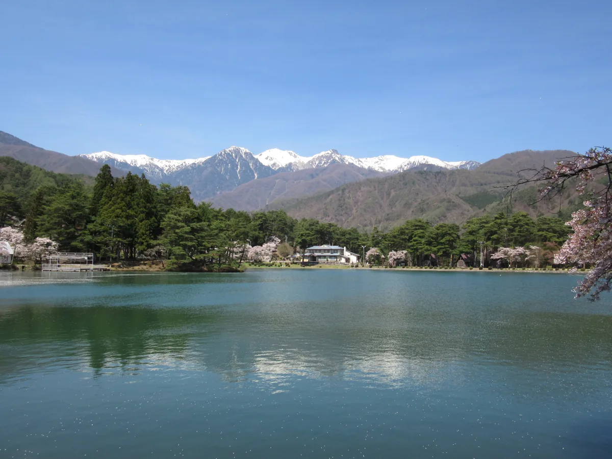
A natural park in the Nanakubo district, with a pond and mountain scenery. The photograph dates to April 2016 and does not show today’s blossom or snow conditions. Camping and water activities have different arrangements from a simple walk; confirm reservations and operation with the park.
Getting there Check the current approach and return transport on the map.
Hana no Sato Iijima features apple pies made with local apples. Fresh-fruit sales and pie varieties or quantities vary by season and shop. Check ingredients such as dairy and wheat, whether an advance order is needed, and storage advice for takeaway pies.
Resized, metadata removed and converted to WebP; display crops vary by screen. Adapted CC BY-SA photos retain the original license.
Photos are historical material dated in the credits, not a guarantee of present scenery or operation. Places without photos use decorative name panels.


 01
01