Start slowly, with one place. Find a view and a small meal.
旧波田町地域(現・松本市波田)
Local historyFirst-visit planCheck transport
Hi, I’m Tabi!
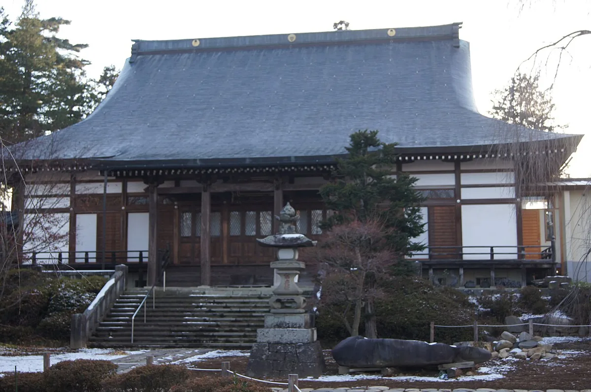
Hata is a former town area that merged into Matsumoto in 2010. This guide covers Anyoji and Nyakutakuji’s ruins within the saved former Hata boundary, rather than all of Matsumoto. Check current visiting, mountain-path access and return services separately. The hero photo shows Anyoji in 2012.
Destinations lie within the saved former Hata boundary, rather than all of modern Matsumoto or places immediately beside your app check-in.
01 · EXPLORE
Two places to begin
Two different places: start with whichever interests you.
01
A first-visit stop
Anyoji Temple
安養寺
A temple in Hata with gardens and trees to explore. The photograph shows its building in 2012 and does not guarantee present-day cherry blossoms or interior access. Distinguish it from namesake temples elsewhere and follow current visiting and photography guidance.
Getting there Check the current approach and return transport on the map.
A site with traces of a former temple, distinct from an operating temple or the Anyoji building in the photograph. Do not assume routes in an older district guide remain accessible; check mountain paths, local restrictions and return services.
Getting there Check the current approach and return transport on the map.
Official regional tourism guidance features Hata’s watermelons. Check actual origins, varieties, harvest seasons and current availability. Historical tourism material does not establish year-round sales or that every fruit comes from Hata.
Resized, metadata removed and converted to WebP; display crops vary by screen. Adapted CC BY-SA photos retain the original license.
Photos are historical material dated in the credits, not a guarantee of present scenery or operation. Places without photos use decorative name panels.


 01
01
