Start slowly, with one place. Find a view and a small meal.
亘理町
Local historyFirst-visit planCheck transport
Hi, I’m Tabi!
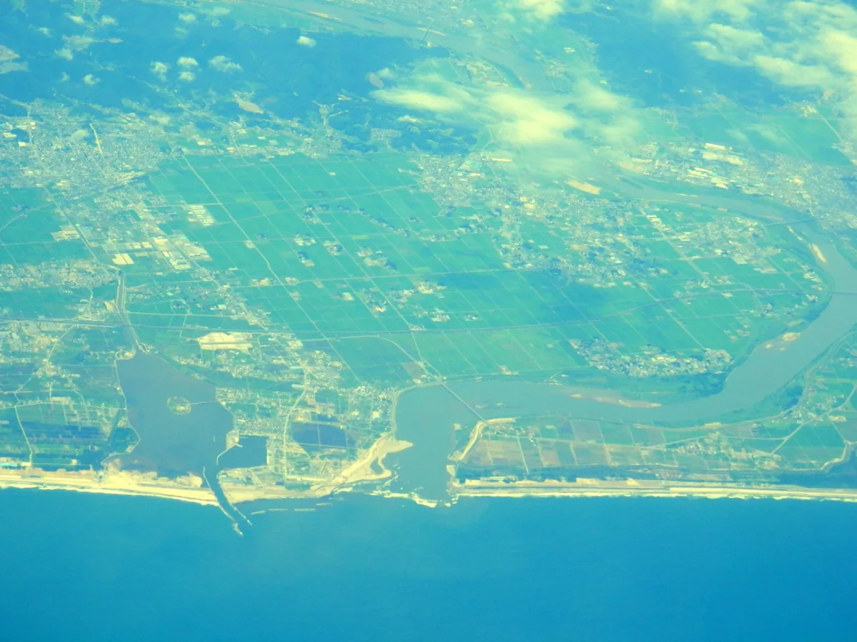
Explore local history and coastal scenery in Watari, Miyagi. The opening aerial photograph shows Torinoumi and the Abukuma River mouth in 2013, not the hot-spring building or current recovery conditions.
This guide covers places within Watari, rather than places immediately beside your app check-in.
01 · EXPLORE
Two places to begin
Two different places: start with whichever interests you.
01
A first-visit stop
Yūrikan local history museum
悠里館・郷土資料館
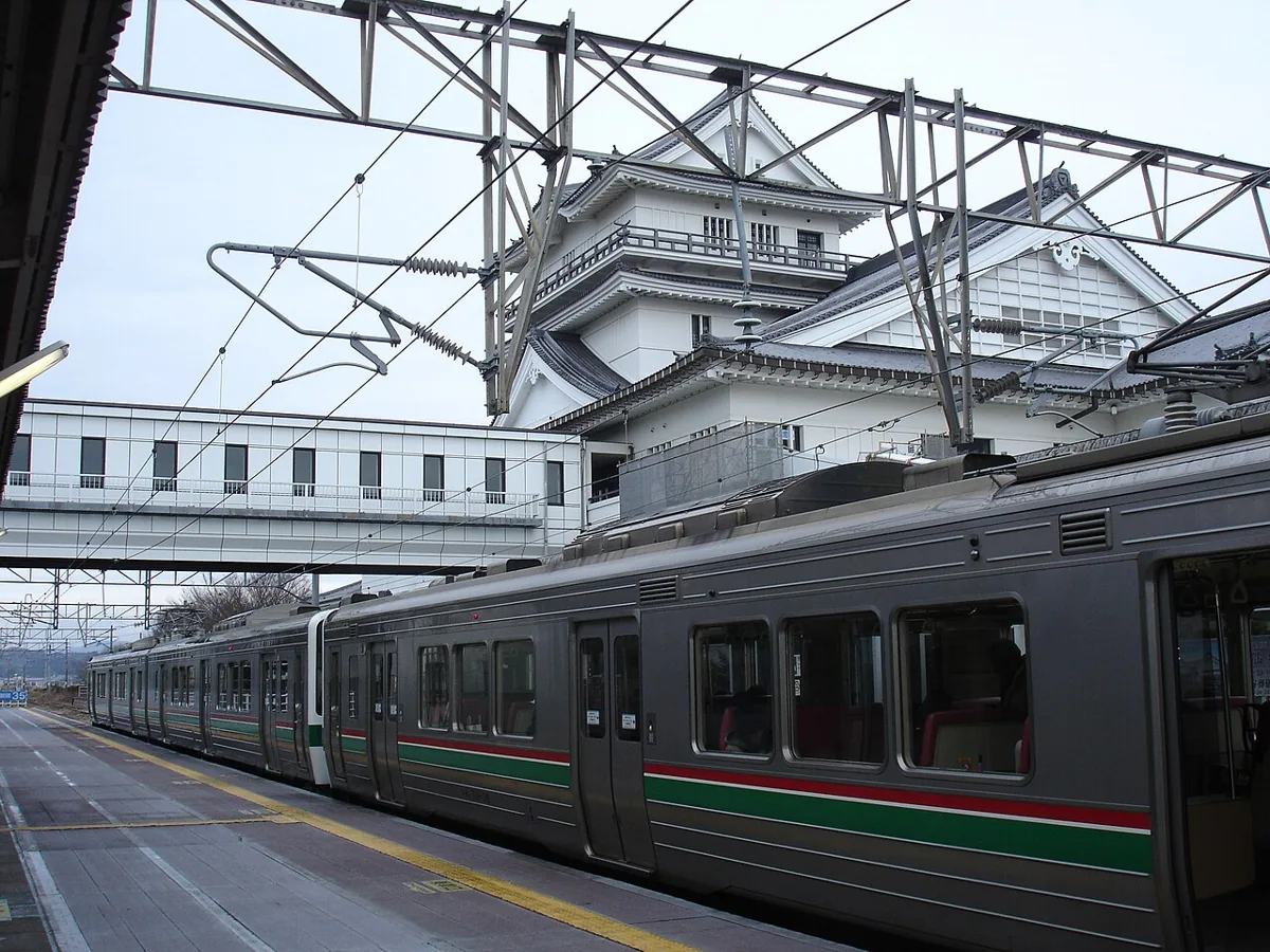
The castle-like building is a public complex containing a library and local history museum, not an old castle. The 2013 photograph includes the station and Yūrikan. Check museum closing days and last entry, and follow indoor photography rules.
Getting there Check the current approach and return transport on the map.
This hot-spring facility stands on the coast near the entrance to Torinoumi lagoon. Consider it for a visit in this coastal area. Bathing, meals and accommodation have separate conditions; check each service’s prices and availability, and follow coastal weather and evacuation guidance.
Getting there Check the current approach and return transport on the map.
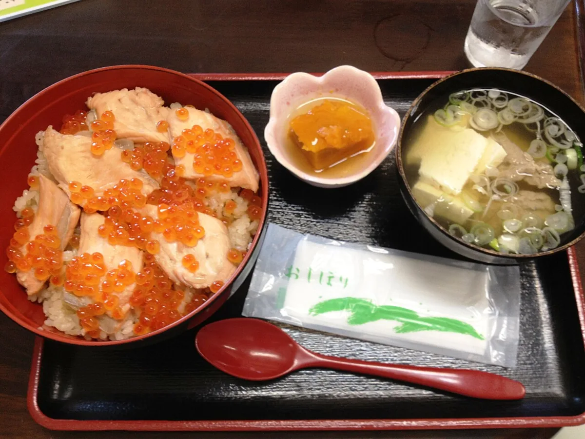
A serving photographed in 2012; check the current menu and price.
Harakomeshi is Watari’s autumn speciality of rice with salmon and salmon roe. The photograph records one serving in 2012, not a current menu or price. Check the season, stock, fish, roe and seasoning ingredients; recipes differ between households and shops.
Resized, metadata removed and converted to WebP; display crops vary by screen. Adapted CC BY-SA photos retain the original license.
Photos are historical material dated in the credits, not a guarantee of present scenery or operation. Places without photos use decorative name panels.


 01
01