Start slowly, with one place. Find a view and a small meal.
久御山町
Local historyFirst-visit planCheck transport
Hi, I’m Tabi!
Kumiyama is a town in Kyoto Prefecture with wooded shrine entrances at Saguri and Tamada shrines. Distinguish it from Kyoto City. Both photos were uploaded in 2012; capture dates are unverified. Check current transport, public access and return services.
This guide covers places within Kumiyama, rather than places immediately beside your app check-in.
01 · EXPLORE
Two places to begin
Two different places: start with whichever interests you.
01
A first-visit stop
Saguri Shrine
雙栗神社
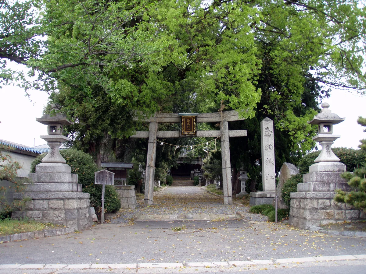
A shrine in Sayama Sokuri whose main sanctuary is an Important Cultural Property. The photo shows its torii and entrance, uploaded in 2012. It does not show the sanctuary interior or guarantee present conditions. Follow worship and photography guidance.
Getting there Check the current approach and return transport on the map.
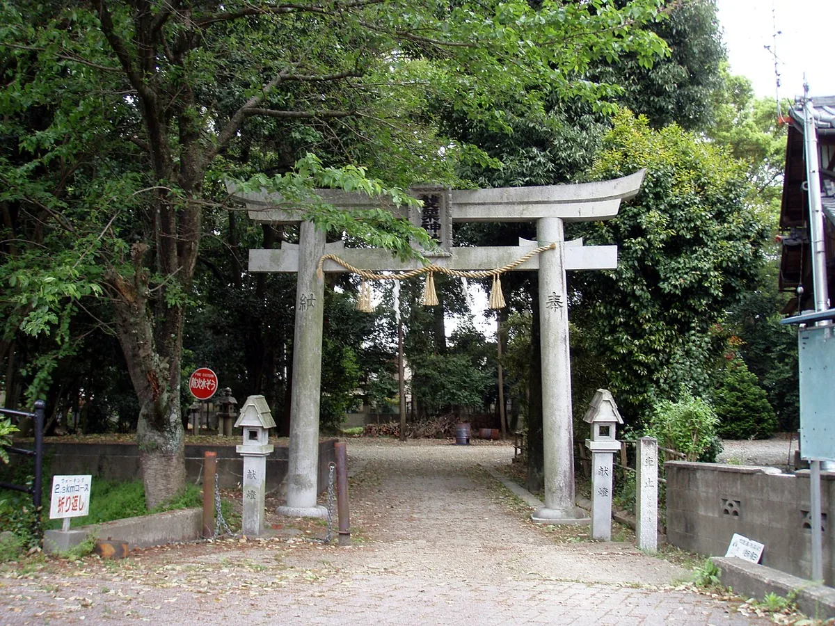
A shrine with a wooded entrance and registered tangible cultural properties including its main sanctuary and torii. The entrance photo was uploaded in 2012. Religious traditions are not presented as guaranteed benefits. Follow current public-access guidance.
Getting there Check the current approach and return transport on the map.
The town features Yodo daikon and tender leafy vegetables as local products. Check actual origin, season and availability, together with storage and preparation guidance and ingredients for fresh or processed products.
Resized, metadata removed and converted to WebP; display crops vary by screen. Adapted CC BY-SA photos retain the original license.
Photos are historical material dated in the credits, not a guarantee of present scenery or operation. Places without photos use decorative name panels.


 01
01