Start slowly, with one place. Find a view and a small meal.
八幡市
Local historyFirst-visit planCheck transport
Hi, I’m Tabi!
Yawata is a Kyoto Prefecture city with Iwashimizu Hachimangu on Mount Otokoyama and Ango Bridge below. Distinguish this shrine from similarly named Hachiman shrines elsewhere. Check transport between the hilltop and foothills, slopes and return services.
This guide covers places within Yawata, rather than places immediately beside your app check-in.
01 · EXPLORE
Two places to begin
Two different places: start with whichever interests you.
01
A first-visit stop
Iwashimizu Hachimangu
石清水八幡宮
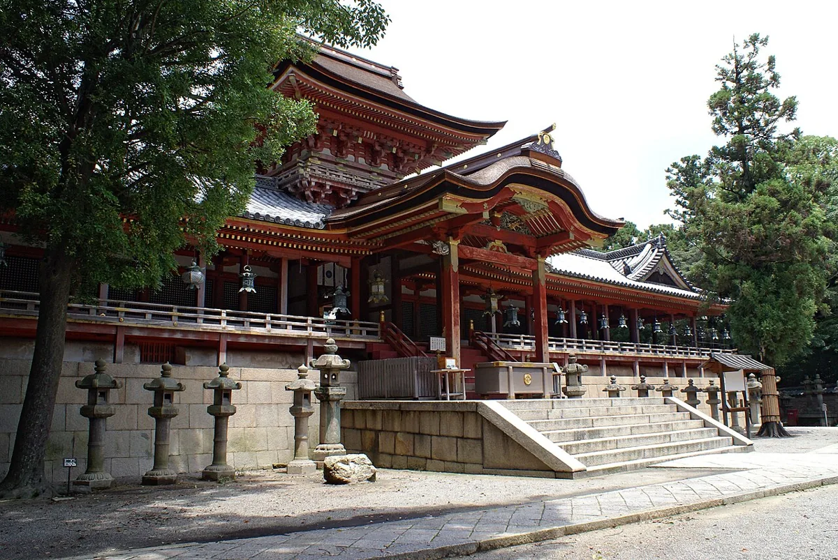
A shrine on Mount Otokoyama with vermilion shrine buildings. The photo dates from 2006. Respect worship areas and check current hilltop access, permitted viewing areas and photography guidance.
Getting there Check the current approach and return transport on the map.
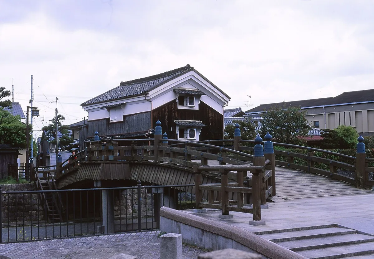
An arched bridge over the Hojo River at the foot of the hill, with paths along both banks. The photo dates from 2009. Follow current access guidance; do not climb railings or descend into the river.
Getting there Check the current approach and return transport on the map.
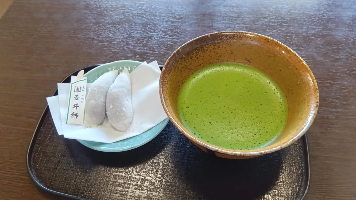
A local sweet example, not an endorsement or guarantee of current menus or prices.
City branding material features Hashirii-mochi as a local sweet. The photo shows a rice-cake-and-tea example photographed in Yawata in May 2025. It is not a shop endorsement or guarantee of current menus or prices; check ingredients and allergens.
Resized, metadata removed and converted to WebP; display crops vary by screen. Adapted CC BY-SA photos retain the original license.
Photos are historical material dated in the credits, not a guarantee of present scenery or operation. Places without photos use decorative name panels.


 01
01