Start slowly, with one place. Find a view and a small meal.
南山城村
Local historyFirst-visit planCheck transport
Hi, I’m Tabi!
Explore a roadside station and Takayama Dam in this tea-growing village in southern Kyoto. Plan transport between the two stops separately and keep out of private tea fields and restricted facilities.
This guide covers places within Minamiyamashiro, rather than places immediately beside your app check-in.
01 · EXPLORE
Two places to begin
Two different places: start with whichever interests you.
01
A first-visit stop
Michi-no-Eki Minamiyamashiro
道の駅みなみやましろ村
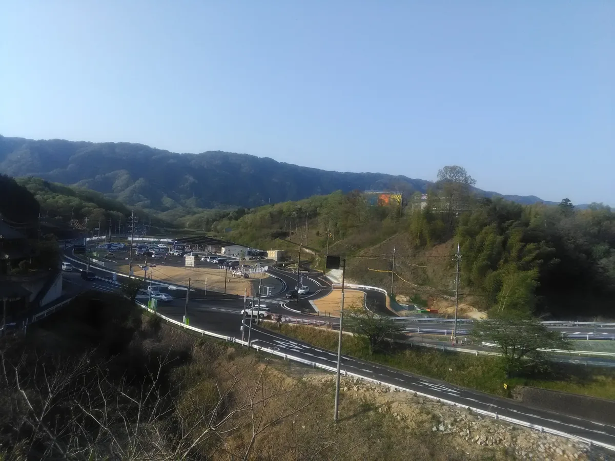
This roadside station introduces tea and local produce. The April 2017 photograph was taken from Tsukigaseguchi Station’s platform; it is not evidence of current access. Use the facility’s designated pedestrian entrance and watch for vehicles.
Getting there Check the current approach and return transport on the map.
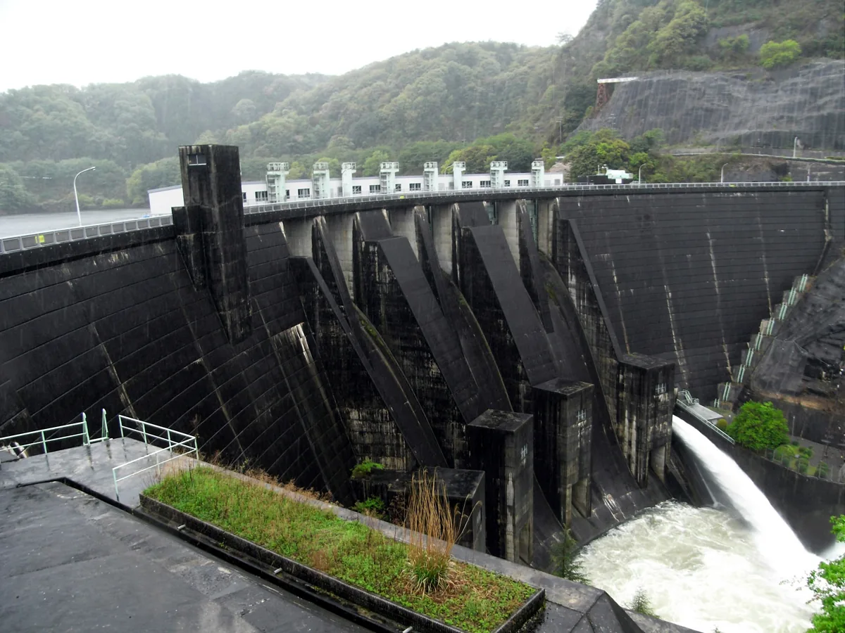
This multipurpose dam on the Nabari River has a park near its management office. The photograph dates from May 2009. Avoid the water during releases or rain and follow public-area restrictions. Do not assume that interior tours are always available.
Getting there Check the current approach and return transport on the map.
Look for mura-cha, tea grown in the village. Check origin and ingredient labels on tea and matcha sweets, along with the day’s menu. Tea fields are working farms: photography and experiences require permission and any necessary booking.
Resized, metadata removed and converted to WebP; display crops vary by screen. Adapted CC BY-SA photos retain the original license.
Photos are historical material dated in the credits, not a guarantee of present scenery or operation. Places without photos use decorative name panels.


 01
01