Start slowly, with one place. Find a view and a small meal.
山都町
Local historyFirst-visit planCheck transport
Hi, I’m Tabi!
Explore a stone aqueduct and waterfall in Yamato, Kumamoto. Check current restrictions first and begin in permitted viewing areas rather than on the bridge.
This guide covers places within Yamato, rather than places immediately beside your app check-in.
01 · EXPLORE
Two places to begin
Two different places: start with whichever interests you.
01
A first-visit stop
Tsujun Bridge
通潤橋
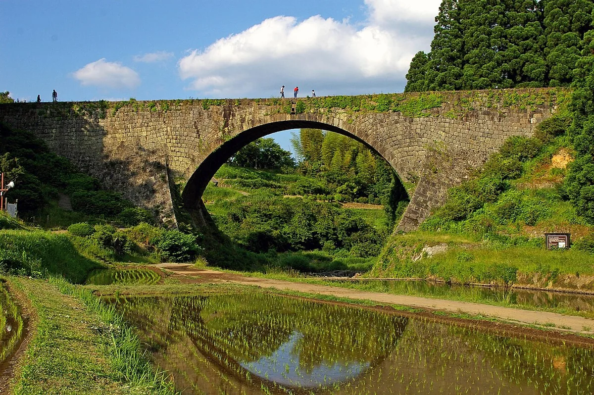
This stone aqueduct carries irrigation water. Water releases resumed after the 2026 earthquake, but the town says bridge-top viewing is suspended for the fiscal year. People on the bridge in the 2007 photograph do not indicate current access. Check release dates and same-day cancellations.
Getting there Check the current approach and return transport on the map.
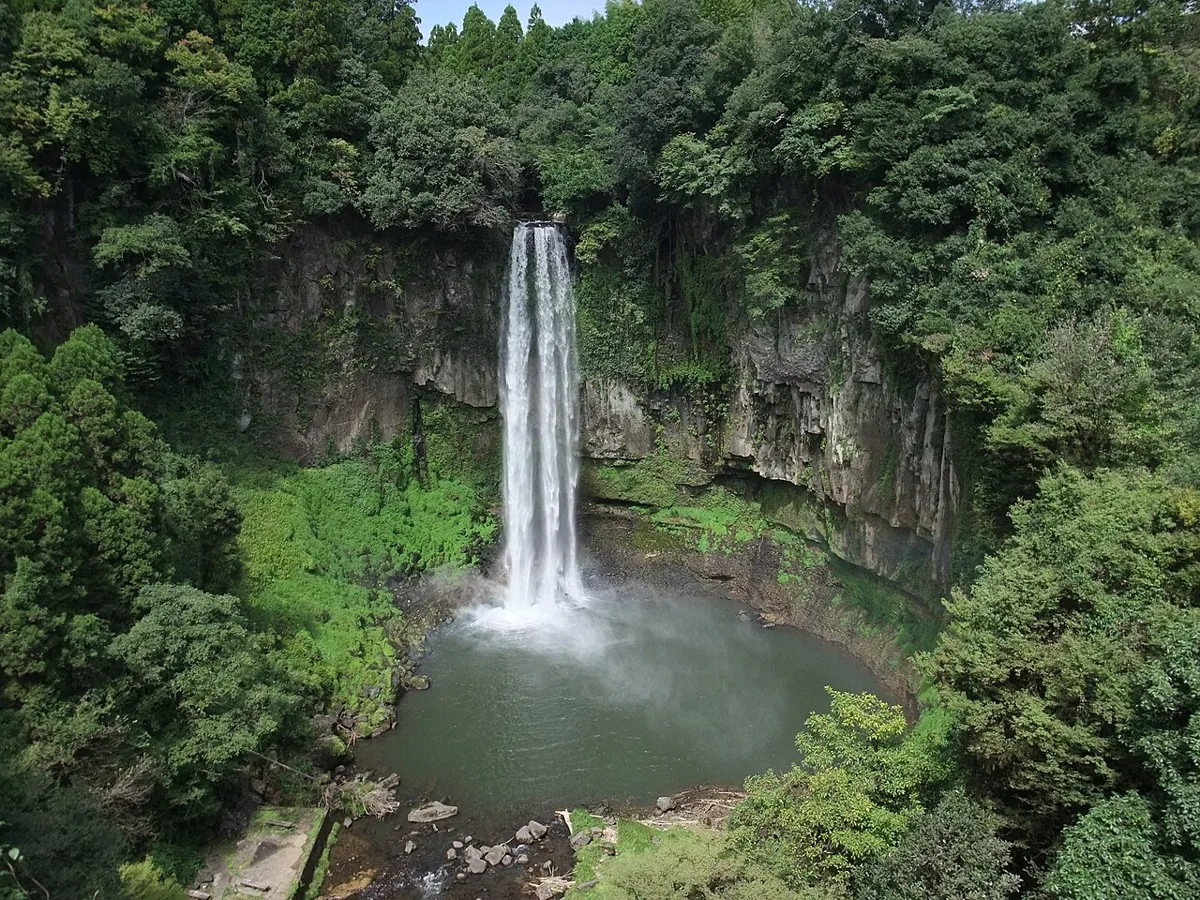
View this waterfall in the Nagahara and Johara area from public paths. Watch for slippery steps, falling rocks and high water. Repairs to the Okoya building restrict parking around Futa Shrine; check the town’s guidance for Tsujun Bridge Mieru Terrace parking.
Getting there Check the current approach and return transport on the map.
Yamato’s Soyo area grows blueberries, mainly harvested from summer into early autumn. Processed products may be an option later in autumn. Check Yamato-origin ingredients and current availability when choosing jam or sauce.
Resized, metadata removed and converted to WebP; display crops vary by screen. Adapted CC BY-SA photos retain the original license.
Photos are historical material dated in the credits, not a guarantee of present scenery or operation. Places without photos use decorative name panels.


 01
01