Start slowly, with one place. Find a view and a small meal.
西原村
Local historyFirst-visit planCheck transport
Hi, I’m Tabi!
Visit grasslands and a wooded waterfall on the western side of Aso’s outer rim. Use designated parking and public viewpoints; plan mountain trails separately after checking current notices.
This guide covers places within Nishihara, rather than places immediately beside your app check-in.
01 · EXPLORE
Two places to begin
Two different places: start with whichever interests you.
01
A first-visit stop
Shiraito Falls
白糸の滝
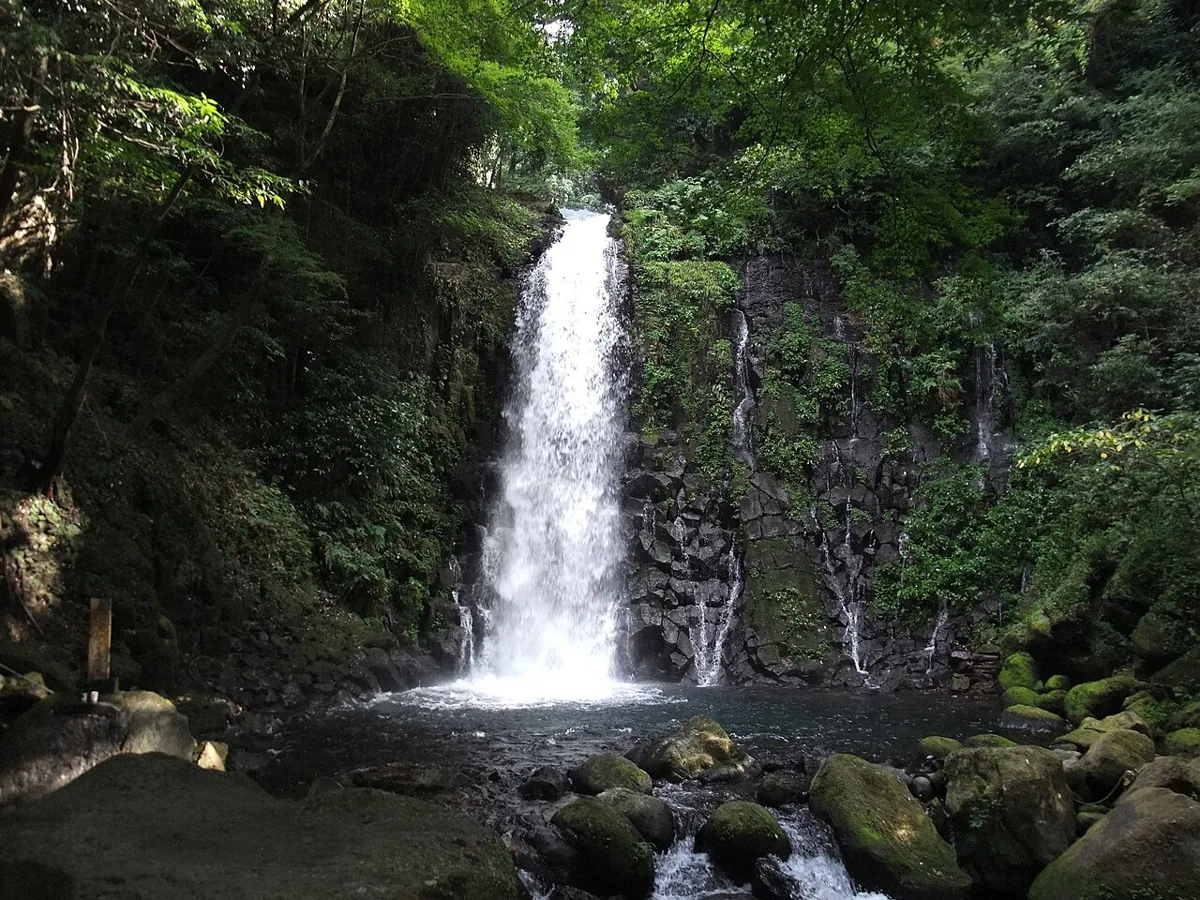
Water drops about 20 metres between wooded rocks. Leave vehicles in the designated car park and use the footpath. Watch for wet steps, falling rocks and rising water; stay away from the water during rain or restrictions. The photograph dates from 2009.
Getting there Check the current approach and return transport on the map.
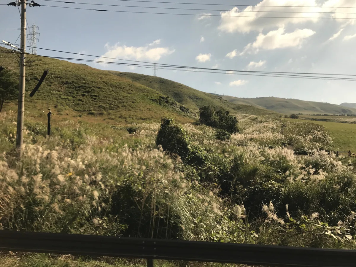
This viewpoint on the side of Mount Tawara looks toward Kumamoto. The photograph shows the mountain’s western grasslands in 2017. An October 2026 notice reports bee stings south of Goo Pass: treat hiking routes separately and avoid roadside parking or entering grasslands without permission.
Getting there Check the current approach and return transport on the map.
Sweet potatoes, also called karaimo locally, are a Nishihara specialty. For roasted potatoes or sweets, check village-origin labels and shop opening days. Varieties and products vary by season and day.
Resized, metadata removed and converted to WebP; display crops vary by screen. Adapted CC BY-SA photos retain the original license.
Photos are historical material dated in the credits, not a guarantee of present scenery or operation. Places without photos use decorative name panels.


 01
01