Start slowly, with one place. Find a view and a small meal.
水上村
Local historyFirst-visit planCheck transport
Hi, I’m Tabi!
Meet the upper Kuma River and cedar forests in this mountain village. Start around the dam, then plan any mountain walk separately for the weather and your fitness.
This guide covers places within Mizukami, rather than places immediately beside your app check-in.
01 · EXPLORE
Two places to begin
Two different places: start with whichever interests you.
01
A first-visit stop
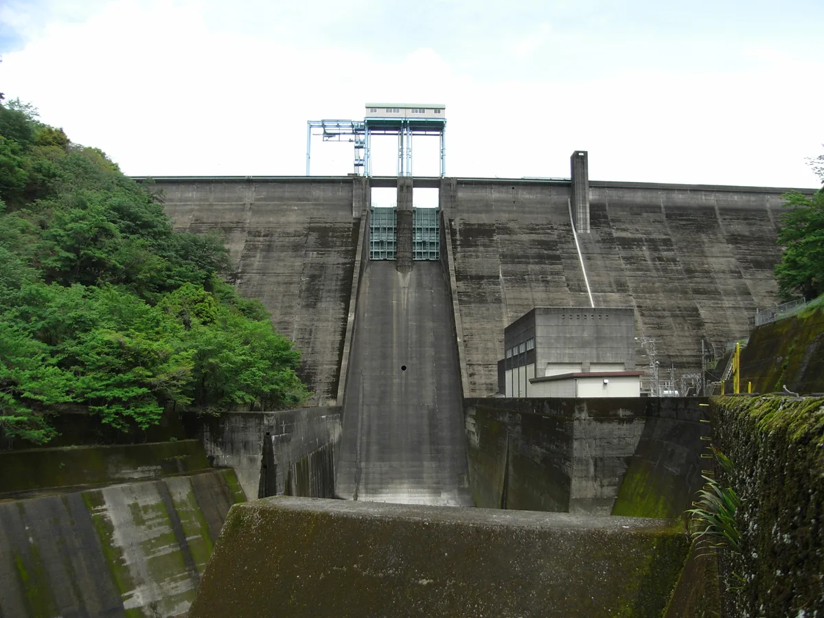
Ichifusa Dam
市房ダム
This dam stands on the upper Kuma River. The photograph shows its downstream face in 2008; it does not establish the current visitor route. Use public areas and apply to the management office for control-room or interior tours.
Getting there Check the current approach and return transport on the map.
The shrine sits at the fourth stage of Mount Ichifusa, reached by a mountain path through old cedars. Check trail conditions, weather and equipment before setting out. This is not a level village stroll; choose a turnaround time rather than assuming a summit climb.
Getting there Check the current approach and return transport on the map.
The village lists locally grown rice, tea and chestnuts among its specialties. Check Mizukami origin labels and ask what seasonal produce is available that day.
Resized, metadata removed and converted to WebP; display crops vary by screen. Adapted CC BY-SA photos retain the original license.
Photos are historical material dated in the credits, not a guarantee of present scenery or operation. Places without photos use decorative name panels.


 01
01
