Start slowly, with one place. Find a view and a small meal.
球磨村
Local historyFirst-visit planCheck transport
Hi, I’m Tabi!
Kuma is a village in Kumamoto; distinguish it from the entire Kuma district. Choose the cave facility or rice terraces first. At the verification date, the JR Hisatsu Line between Yatsushiro and Yoshimatsu remains out of service, so do not plan a train trip from old railway photographs or maps. Check current roads, alternative transport and return arrangements.
This guide covers places within Kuma, rather than places immediately beside your app check-in.
01 · EXPLORE
Two places to begin
Two different places: start with whichever interests you.
01
A first-visit stop
Kyusendo Cave
球泉洞
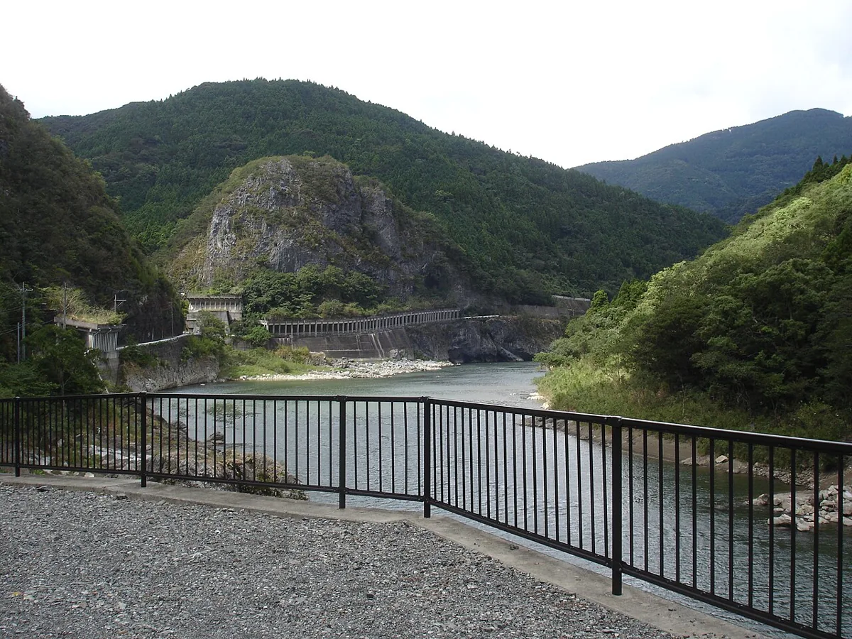
A limestone-cave visitor facility. The photograph shows the Kuma River from the facility area in 2016, rather than the cave interior. Check current standard and exploration courses and access conditions with the operator.
Getting there Check the current approach and return transport on the map.
An agricultural landscape across a hillside. Stay out of fields and working areas; check public viewing points and current roads. Respect farming and residents when taking photographs.
Getting there Check the current approach and return transport on the map.
The village’s official product guide features Isshochi pears. Check actual origin, season, ingredients and current availability in fruit or products. No particular seller or price is guaranteed.
Resized, metadata removed and converted to WebP; display crops vary by screen. Adapted CC BY-SA photos retain the original license.
Photos are historical material dated in the credits, not a guarantee of present scenery or operation. Places without photos use decorative name panels.


 01
01
