Start slowly, with one place. Find a view and a small meal.
上天草市
Local historyFirst-visit planCheck transport
Hi, I’m Tabi!
Explore two viewpoints over islands and sea in Kami-Amakusa’s Matsushima area. Check access and weather for each mountain and plan transport between them.
This guide covers places within Kami-Amakusa, rather than places immediately beside your app check-in.
01 · EXPLORE
Two places to begin
Two different places: start with whichever interests you.
01
A first-visit stop
Mount Sengan
千巌山
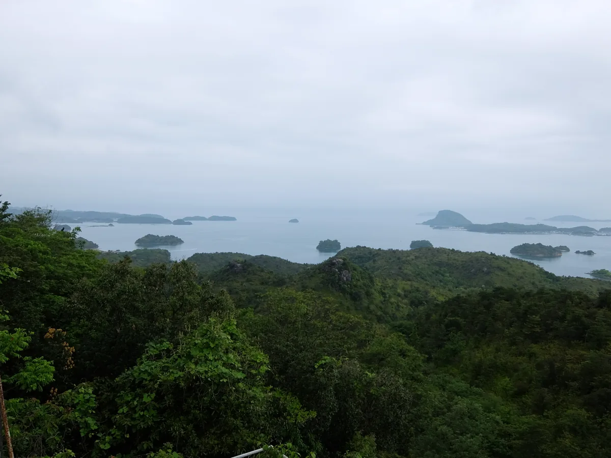
A mountain viewpoint over Amakusa’s islands and bridges. The photograph dates from 2015. Follow local access notices and avoid slippery paths or a demanding climb.
Getting there Check the current approach and return transport on the map.
A mountain offering another perspective on Matsushima’s islands. Check parking, walking access and current road conditions. A long hike linking the two mountains is not required.
Getting there Check the current approach and return transport on the map.
Resized, metadata removed and converted to WebP; display crops vary by screen. Adapted CC BY-SA photos retain the original license.
Photos are historical material dated in the credits, not a guarantee of present scenery or operation. Places without photos use decorative name panels.


 01