Start slowly, with one place. Find a view and a small meal.
檮原町
Local historyFirst-visit planCheck transport
Hi, I’m Tabi!
Yusuhara pairs Mishima Shrine and its covered approach bridge with the hillside rice terraces at Kanzaiko. Begin at the shrine entrance, and remember that the terraces are working farmland. Plan separate transport and avoid entering fields or farm tracks without permission.
This guide covers places within Yusuhara, rather than places immediately beside your app check-in.
01 · EXPLORE
Two places to begin
Two different places: start with whichever interests you.
∿三嶋神社∿
01
A first-visit stop
Mishima Shrine
三嶋神社
A shrine approached by the covered wooden Shinkobashi bridge and associated with Tsunoyama kagura. A performance is not guaranteed on your visit. The shrine has no resident priest, so consult the tourist association’s current guidance for shrine seals.
Getting there Check the current approach and return transport on the map.
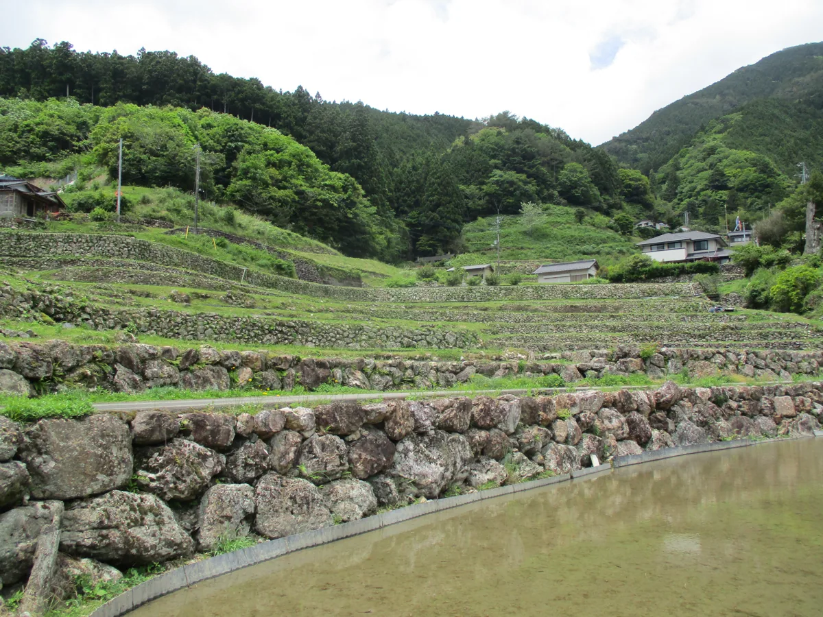
Terraced paddies layered along a mountain slope, shown in May 2026. Their appearance changes with the seasons and farm work. Respect farmland and private property, view from permitted roads, and ask the tourist association about suitable viewing points.
Getting there Check the current approach and return transport on the map.
The Kanzaiko terraces reflect the area’s rice-growing landscape. If you would like to try local rice, ask shops or restaurants about origin and availability; the terraces do not establish where every restaurant sources its rice.
Resized, metadata removed and converted to WebP; display crops vary by screen. Adapted CC BY-SA photos retain the original license.
Photos are historical material dated in the credits, not a guarantee of present scenery or operation. Places without photos use decorative name panels.