Start slowly, with one place. Find a view and a small meal.
大川村
Local historyFirst-visit planCheck transport
Hi, I’m Tabi!
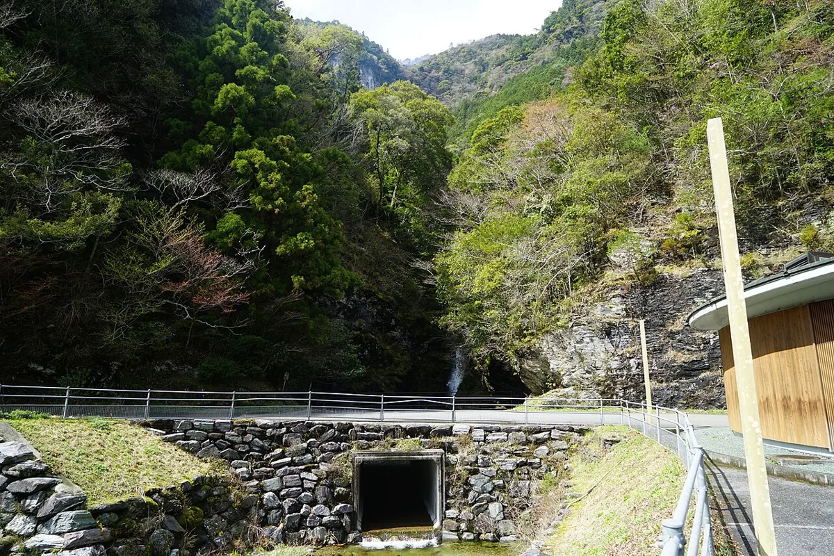
Visit Kogane Falls and mountain activity facilities separately in Okawa, Kochi. The photograph is a distant view from April 2014. Koganetaki Bridge is listed as closed to vehicles weighing 2 tonnes or more from 9 October 2026; mountain roads also have restrictions, so check the latest notice before departure.
This guide covers places within Okawa, rather than places immediately beside your app check-in.
01 · EXPLORE
Two places to begin
Two different places: start with whichever interests you.
01
A first-visit stop
Kogane Falls
小金滝
Distant views of the waterfall are possible around Prefectural Route 17. The April 2014 image includes the falls and nearby facilities. The mountain route towards the plunge pool is not a casual stroll; use viewing points permitted by local notices.
Getting there Check the current approach and return transport on the map.
This accommodation and activity complex uses former school grounds in an old mining area. Check bookings separately for camping, activities, meals and lodging. Timed restrictions on the Asatani village road are also announced for 19–23 October 2026; ask the facility about the approach.
Getting there Check the current approach and return transport on the map.
Okawa maintains local production from raising Tosa Hachikin chickens through processing and sales. Check origin, cooking and storage information when choosing products. Confirm event or restaurant menus, booking requirements and availability separately for your visit.
Resized, metadata removed and converted to WebP; display crops vary by screen. Adapted CC BY-SA photos retain the original license.
Photos are historical material dated in the credits, not a guarantee of present scenery or operation. Places without photos use decorative name panels.


 01
01
