Start slowly, with one place. Find a view and a small meal.
越知町
Local historyFirst-visit planCheck transport
Hi, I’m Tabi!
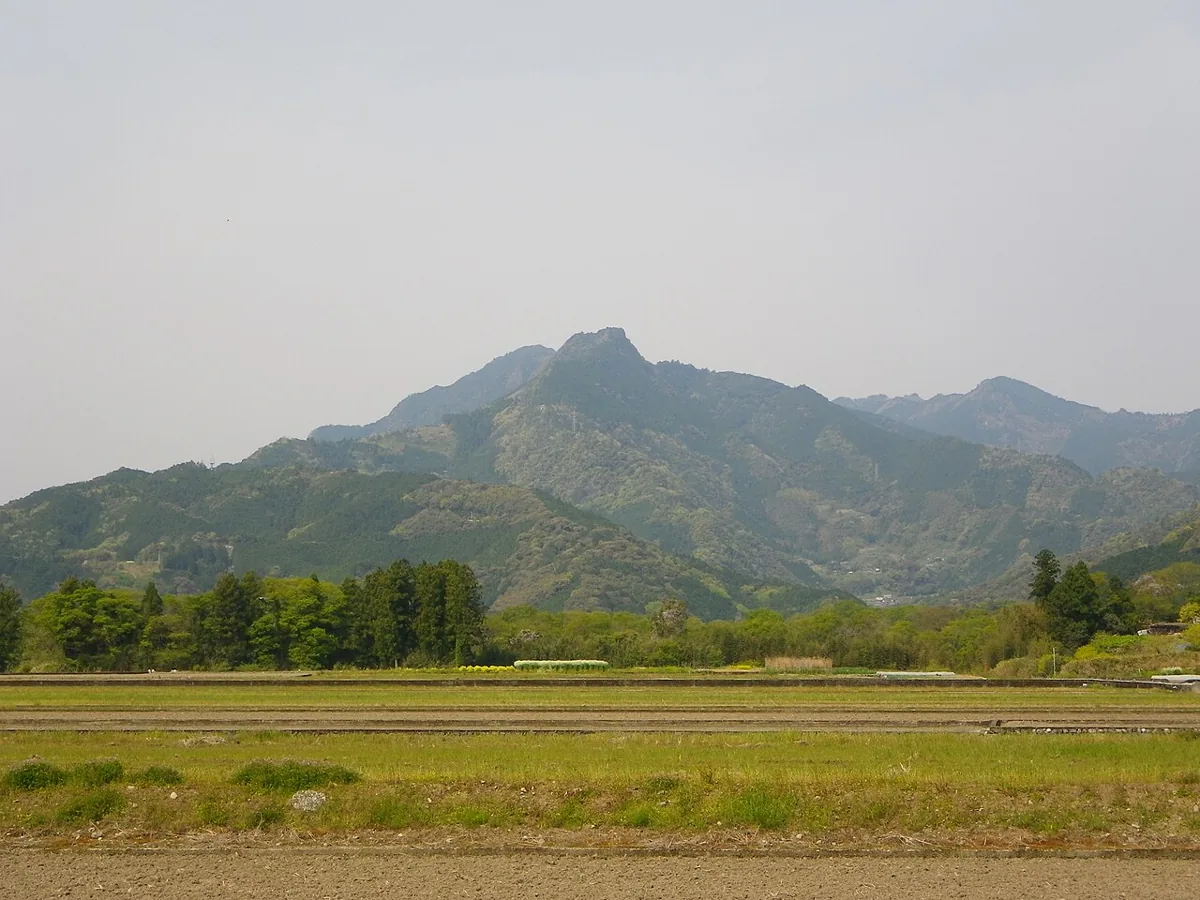
Begin with mountain scenery and a riverside park in Ochi, Kochi. Plan a distant view of Mount Yokokura separately from a mountain hike, and visit Miyanomae Park as another stop. The photograph shows the mountain from the east in April 2013.
This guide covers places within Ochi, rather than places immediately beside your app check-in.
01 · EXPLORE
Two places to begin
Two different places: start with whichever interests you.
01
A first-visit stop
Mount Yokokura scenery
横倉山の景観
This local mountain is associated with botanist Tomitaro Makino and contains shrines and woodland. The April 2013 photograph is a distant eastern view, not a summit or trail image. For a hike, check weather, equipment and access separately; keep out of fields and private land.
Getting there Check the current approach and return transport on the map.
A park beside the Niyodo River is known for cosmos flowers and community events. Check this year’s notices for blooms and event dates. This card’s illustration does not show current flowers; also check river levels and restrictions locally.
Getting there Check the current approach and return transport on the map.
The town’s food guide introduces local farm vegetables, fruit and locally made sushi rolls at the Ochi-eki tourism products hall. “Eki” here is part of the hall’s name. Check seasonal stock and same-day availability, and eat purchases in permitted areas.
Resized, metadata removed and converted to WebP; display crops vary by screen. Adapted CC BY-SA photos retain the original license.
Photos are historical material dated in the credits, not a guarantee of present scenery or operation. Places without photos use decorative name panels.


 01
01
