Start slowly, with one place. Find a view and a small meal.
本山町
Local historyFirst-visit planCheck transport
Hi, I’m Tabi!
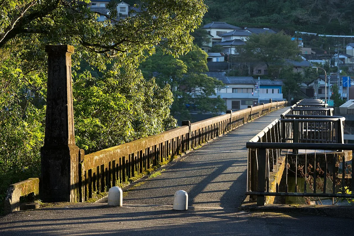
Meet Motoyama through its Yoshino River bridge scenery and Kizenzan Park. The photograph records the old Motoyama Bridge in April 2016, not its present access status. Use the park entrance as your initial destination and confirm which paths are open locally.
This guide covers places within Motoyama, rather than places immediately beside your app check-in.
01 · EXPLORE
Two places to begin
Two different places: start with whichever interests you.
01
A first-visit stop
Yoshino River and Old Motoyama Bridge
吉野川・旧本山大橋の景観
The town landscape plan identifies this river-and-bridge setting. The photograph dates to April 2016 and does not confirm current crossing access or safety. Use permitted public viewpoints and stay away from restricted bridge sections and riverbanks.
Getting there Check the current approach and return transport on the map.
This park, embraced by the Yoshino River, is known for spring cherry blossoms and rhododendrons. Its main rhododendron season is mid-April to early May, not October. Check camping, accommodation, outdoor-activity bookings and river access separately from an ordinary park visit.
Getting there Check the current approach and return transport on the map.
Tosa Tenku no Sato is a branded rice grown in Motoyama’s terraced fields and introduced among its official specialties. Not all local rice carries this brand; check packaging and origin labels. Confirm availability and opening days with individual sellers or restaurants.
Resized, metadata removed and converted to WebP; display crops vary by screen. Adapted CC BY-SA photos retain the original license.
Photos are historical material dated in the credits, not a guarantee of present scenery or operation. Places without photos use decorative name panels.


 01
01
