Start slowly, with one place. Find a view and a small meal.
黒潮町
Local historyFirst-visit planCheck transport
Hi, I’m Tabi!
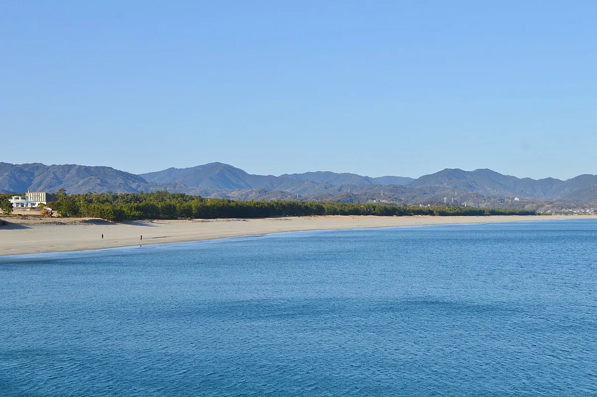
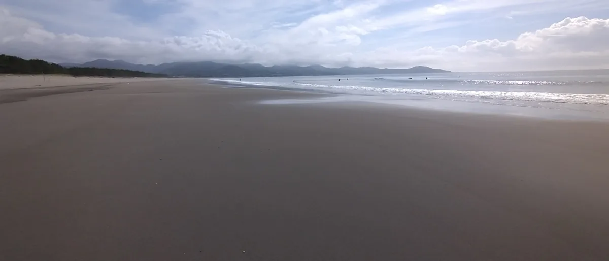
Enjoy Kuroshio’s coastal scenery at Irino Beach and the pine forest behind it. These are different views in the same coastal area, not a walk connecting distant districts. Photographs date to June 2022 and February 2018, not current sea or forest conditions.
This guide covers places within Kuroshio, rather than places immediately beside your app check-in.
01 · EXPLORE
Two places to begin
Two different places: start with whichever interests you.
01
A first-visit stop
Irino Beach
入野の浜・入野海岸
This broad sandy shore faces the Pacific. The June 2022 photograph does not show a T-shirt art exhibition or current bathing operations. Reflections depend on tides, wind and other conditions. Check waves, weather, restrictions and evacuation guidance, and plan to enjoy the view without entering the sea.
Getting there Check the current approach and return transport on the map.
Pines extend behind Irino Beach. The February 2018 photograph is a distant view from the coastal side, not an image of a path inside the forest. Conservation and restoration work take place here; use open paths and heed work zones, falling-branch risks and local notices.
Getting there Check the current approach and return transport on the map.
Katsuo tataki is part of Kuroshio’s food scene and the wider Kochi tradition. Official tourism guidance introduces straw-seared skipjack products enjoyed with salt or yuzu-based sauce. Menus, ingredients and booking arrangements vary by restaurant and seller, so check ahead.
Resized, metadata removed and converted to WebP; display crops vary by screen. Adapted CC BY-SA photos retain the original license.
Photos are historical material dated in the credits, not a guarantee of present scenery or operation. Places without photos use decorative name panels.


 01
01