Start slowly, with one place. Find a view and a small meal.
北秋田市
Local historyFirst-visit planCheck transport
Hi, I’m Tabi!
Discover local history at Isedotai Jomonkan and the region’s gateway at Odate–Noshiro Airport in Kitaakita. The museum and outdoor archaeological site have separate access conditions; check seasonal and wildlife safety notices before travelling.
This guide covers places within Kitaakita, rather than places immediately beside your app check-in.
01 · EXPLORE
Two places to begin
Two different places: start with whichever interests you.
01
A first-visit stop
Isedotai Jomonkan Museum
伊勢堂岱縄文館
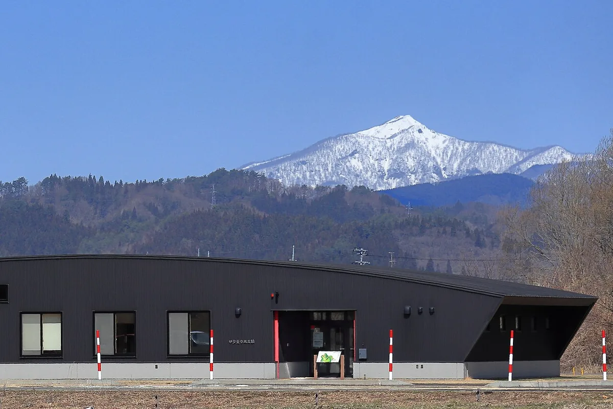
The photograph shows the museum exterior in March 2020. Begin with this introduction to the archaeological site. Official guidance lists winter closure of the outdoor remains from November to mid-April, and the site also closes on museum closure days. Check same-day access and safety guidance and do not wander into surrounding woodland.
Getting there Check the current approach and return transport on the map.
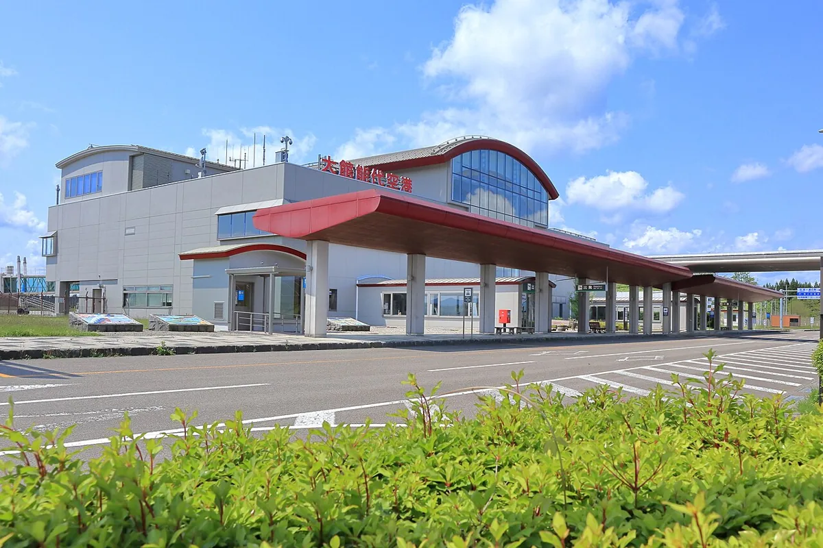
Despite its name, the airport is located in Kitaakita. The photograph shows the terminal exterior in May 2020, not current flight operations. Check visitor-deck and shop opening arrangements, and stay outside restricted security areas.
Getting there Check the current approach and return transport on the map.
Look for Kitaakita butter mochi, a local sweet combining mochi and butter. Texture and ingredients vary by producer; check labels and stock at gift shops or farm outlets, and follow the product’s storage instructions.
Resized, metadata removed and converted to WebP; display crops vary by screen. Adapted CC BY-SA photos retain the original license.
Photos are historical material dated in the credits, not a guarantee of present scenery or operation. Places without photos use decorative name panels.


 01
01