Start slowly, with one place. Find a view and a small meal.
二宮町
Easy walkLocal sceneryA small meal
Hi, I’m Tabi!
Ninomiya is a Kanagawa town facing Sagami Bay. Start from JR Ninomiya Station on the Tokaido Line and choose a hill park or historic shrine. Check each destination’s approach and return connections, considering your ability to manage slopes.
This guide covers places within Ninomiya, rather than places immediately beside your app check-in.
01 · EXPLORE
Two places to begin
Two different places: start with whichever interests you.
01
A first-visit stop
Azumayama Park
吾妻山公園
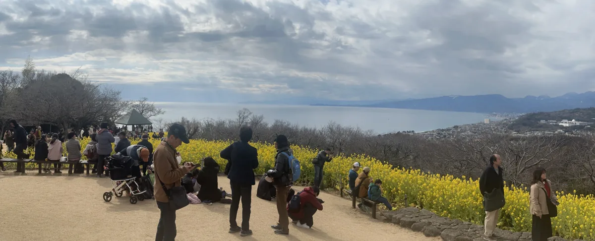
A hill park overlooking Sagami Bay and beyond. The February 2024 photograph shows flowering rapeseed, visitors and the sea. Flowers and visibility vary with season and weather; prepare for stairs and hillside paths to the summit.
Getting there Check the current approach and return transport on the map.
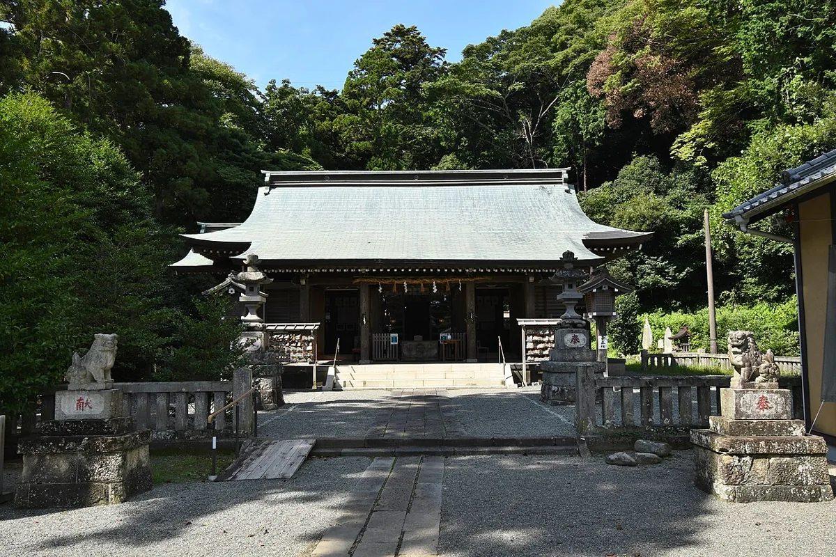
A shrine known as Sagami’s second-ranking shrine. The September 2021 photograph shows its worship hall. Respect worship areas and photography guidance; not all cultural treasures are available for viewing.
Getting there Check the current approach and return transport on the map.
The town’s official guide identifies peanuts as a traditional local specialty. Check local origin, preparation and availability, and avoid them if you have a peanut allergy. Some products contain additional ingredients.
Try Ninomiya Station → an Azumayama Park entrance and permitted paths. Check stairs, hillside trails and weather before walking to the summit; the shrine can be a separate outing.
Resized, metadata removed and converted to WebP; display crops vary by screen. Adapted CC BY-SA photos retain the original license.
Photos are historical material dated in the credits, not a guarantee of present scenery or operation. Places without photos use decorative name panels.


 01
01