Start slowly, with one place. Find a view and a small meal.
伊勢原市
Local historyFirst-visit planCheck transport
Hi, I’m Tabi!
Isehara is a city in Kanagawa. Start with Oyama’s shrine or temple. Check the bus from Isehara Station and movement on the mountain separately. This is not a summit hiking route; steps and slopes remain even when using the cable car.
This guide covers places within Isehara, rather than places immediately beside your app check-in.
01 · EXPLORE
Two places to begin
Two different places: start with whichever interests you.
01
A first-visit stop
Oyama Afuri Shrine Lower Shrine
大山阿夫利神社下社
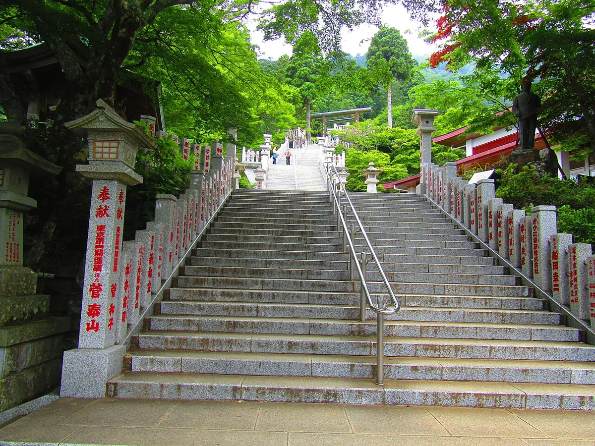
Visit the lower shrine on Mount Oyama for worship and views. The photo shows the approach stairs toward the lower shrine in 2021. Distinguish it from the summit shrine; check buses, cable cars, steps and return transport.
Getting there Check the current approach and return transport on the map.
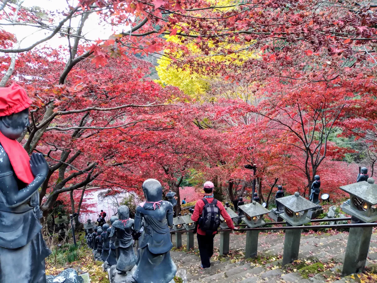
Visit the stairs and grounds of this mountain temple. The photo shows foliage and steps in November 2020, not current autumn colours. Respect worship, photography and building-entry rules and check the stair approach.
Getting there Check the current approach and return transport on the map.
The city’s Japan Heritage account includes Oyama tofu cuisine. Check soy, broth, wheat and other actual ingredients and current menus. Dishes are not automatically vegetarian or allergy suitable; no particular shop or price is guaranteed.
Resized, metadata removed and converted to WebP; display crops vary by screen. Adapted CC BY-SA photos retain the original license.
Photos are historical material dated in the credits, not a guarantee of present scenery or operation. Places without photos use decorative name panels.


 01
01