Start slowly, with one place. Find a view and a small meal.
指宿市
Local historyFirst-visit planCheck transport
Hi, I’m Tabi!
Explore Cape Nagasakibana and Chiringashima’s scenery in Ibusuki, southern Satsuma Peninsula. The stops are separated, and sandbar access depends on tides and waves; check transport and same-day guidance first.
This guide covers places within Ibusuki, rather than places immediately beside your app check-in.
01 · EXPLORE
Two places to begin
Two different places: start with whichever interests you.
01
A first-visit stop
Cape Nagasakibana
長崎鼻
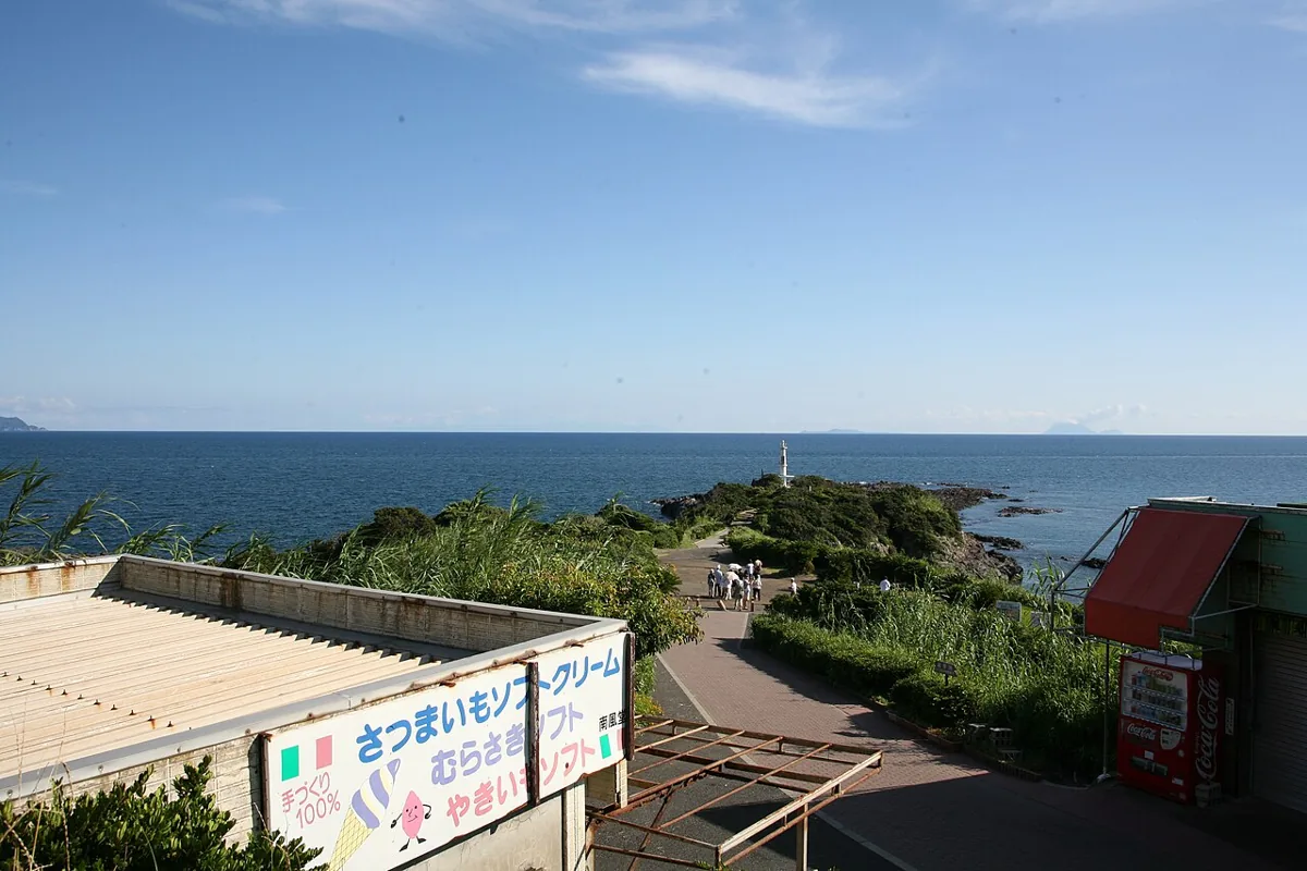
View this cape projecting from the southern Satsuma Peninsula toward its lighthouse. The photograph is from July 2008. Distinguish it from similarly named capes elsewhere and stay on designated paths, away from exposed rocks and edges.
Getting there Check the current approach and return transport on the map.
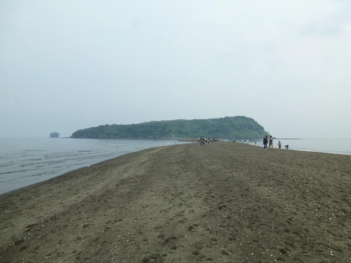
The photograph shows the island connected by its sandbar in April 2018. Official 2026 guidance permits sandbar passage but says the island circuit remains unavailable after the 2024 heavy rains. The path usually appears at low tide during spring or mid-range tides from March to October, without guaranteeing passage on any given day. Check forecasts and local restrictions, return before it disappears and never wade across water.
Getting there Check the current approach and return transport on the map.
Look for ontamaran-don, a local rice bowl topped with a hot-spring egg. Other toppings and sauces vary by restaurant; do not assume one fixed recipe or price.
Resized, metadata removed and converted to WebP; display crops vary by screen. Adapted CC BY-SA photos retain the original license.
Photos are historical material dated in the credits, not a guarantee of present scenery or operation. Places without photos use decorative name panels.


 01
01