Start slowly, with one place. Find a view and a small meal.
薩摩川内市
Local historyFirst-visit planCheck transport
Hi, I’m Tabi!
Satsumasendai is a broad city in Kagoshima. Sendai Station and Iriki’s waterfall are separate visits. This 川内 station is different from 仙台 in Miyagi. Travel to the Koshiki Islands also requires separate boat and island-transport planning.
This guide covers places within Satsumasendai, rather than places immediately beside your app check-in.
01 · EXPLORE
Two places to begin
Two different places: start with whichever interests you.
01
A first-visit stop
Sendai Station surroundings
川内駅周辺
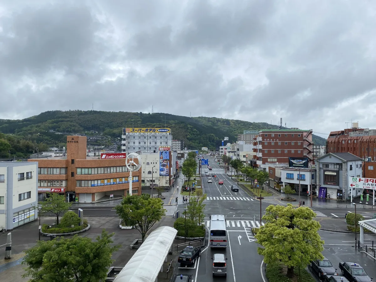
Begin in the public area by the west exit and check local tourist information. This city view from the west exit was published in 2024. It is not the information desk interior; platforms and tracks are separate areas.
Getting there Check the current approach and return transport on the map.
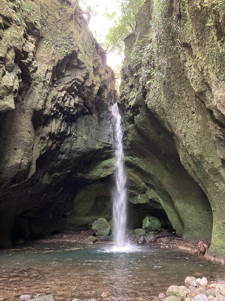
See the waterfall flowing between rocks in Iriki. The photo dates to 2024. Check separate transport from town and the mountain approach. This guide does not suggest entering the water or climbing slippery rocks.
Getting there Check the current approach and return transport on the map.
The city’s official account features kibinago fish from the Koshiki Islands. Check actual origin, preparation, ingredients and availability of fish dishes or products. Fish sold in town is not automatically from those islands.
Resized, metadata removed and converted to WebP; display crops vary by screen. Adapted CC BY-SA photos retain the original license.
Photos are historical material dated in the credits, not a guarantee of present scenery or operation. Places without photos use decorative name panels.


 01
01