Start slowly, with one place. Find a view and a small meal.
加治木町
Local historyFirst-visit planCheck transport
Hi, I’m Tabi!
This guide follows the app’s former Kajiki Town boundary, now part of Aira City after the March 23, 2010 merger. It covers a stone-paved slope and waterfall within the former town, rather than the whole present city.
This guide covers places within Former Kajiki Town, rather than places immediately beside your app check-in.
01 · EXPLORE
Two places to begin
Two different places: start with whichever interests you.
01
A first-visit stop
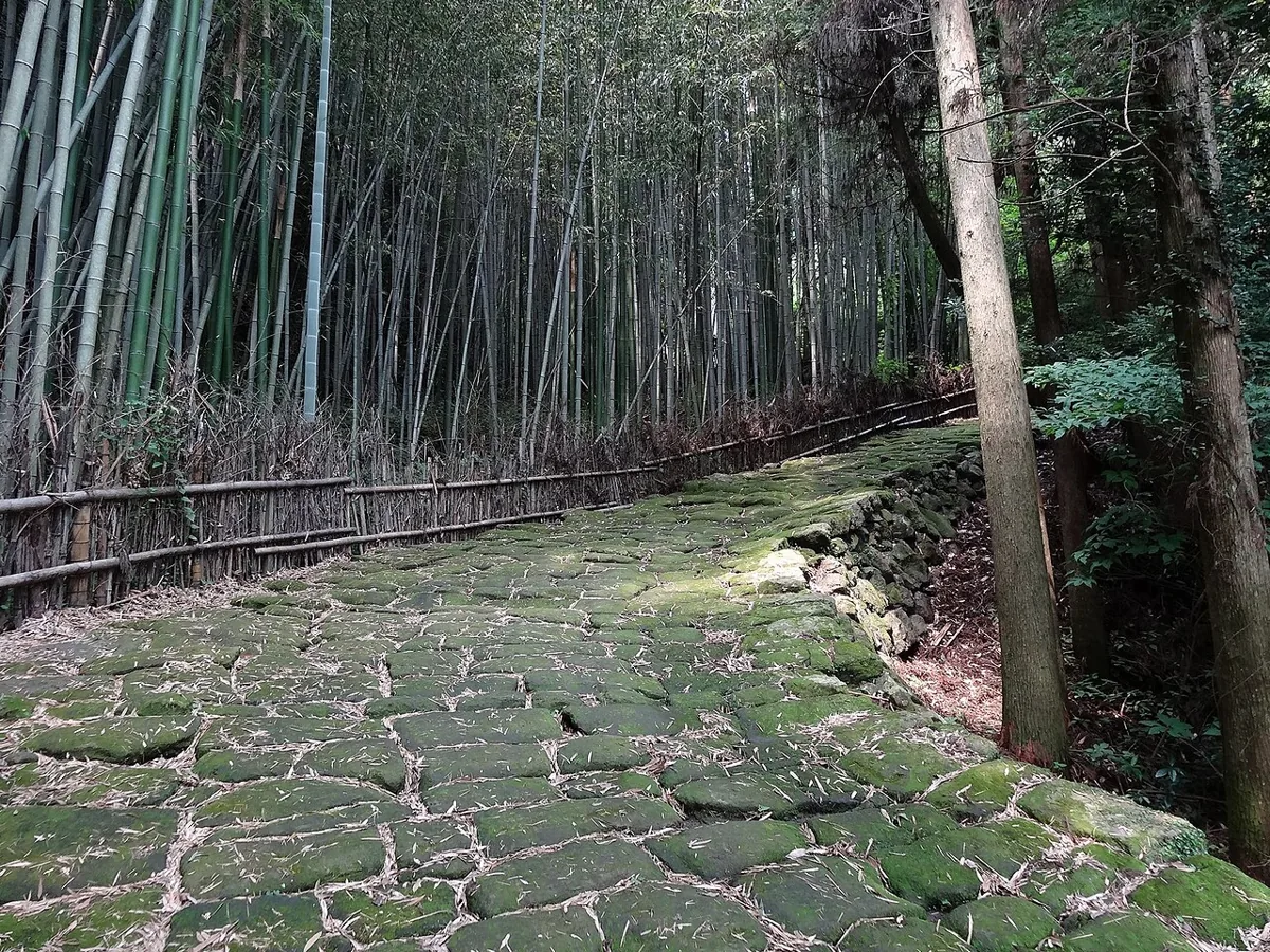
Tatsumonjizaka Stone-Paved Slope
龍門司坂
This stone-paved slope survives from the old Okuchi-suji route. The photograph dates from 2012. Mossy stones can be slippery when wet; follow current access notices and choose a manageable section.
Getting there Check the current approach and return transport on the map.
The city’s notice permits access only to the viewing platform and prohibits entry below it, near the hot spring and to nearby toilets. Check current restrictions before visiting and keep to permitted areas. This is separate from similarly named falls in other prefectures.
Getting there Check the current approach and return transport on the map.
Kajiki manju is a local sweet known for red bean filling and an amazake-scented dough. The city introduces it in official tourism information. Check ingredients, opening days and availability with the shop.
Resized, metadata removed and converted to WebP; display crops vary by screen. Adapted CC BY-SA photos retain the original license.
Photos are historical material dated in the credits, not a guarantee of present scenery or operation. Places without photos use decorative name panels.


 01
01
