Start slowly, with one place. Find a view and a small meal.
河内町
Easy walkLocal sceneryA small meal
Hi, I’m Tabi!
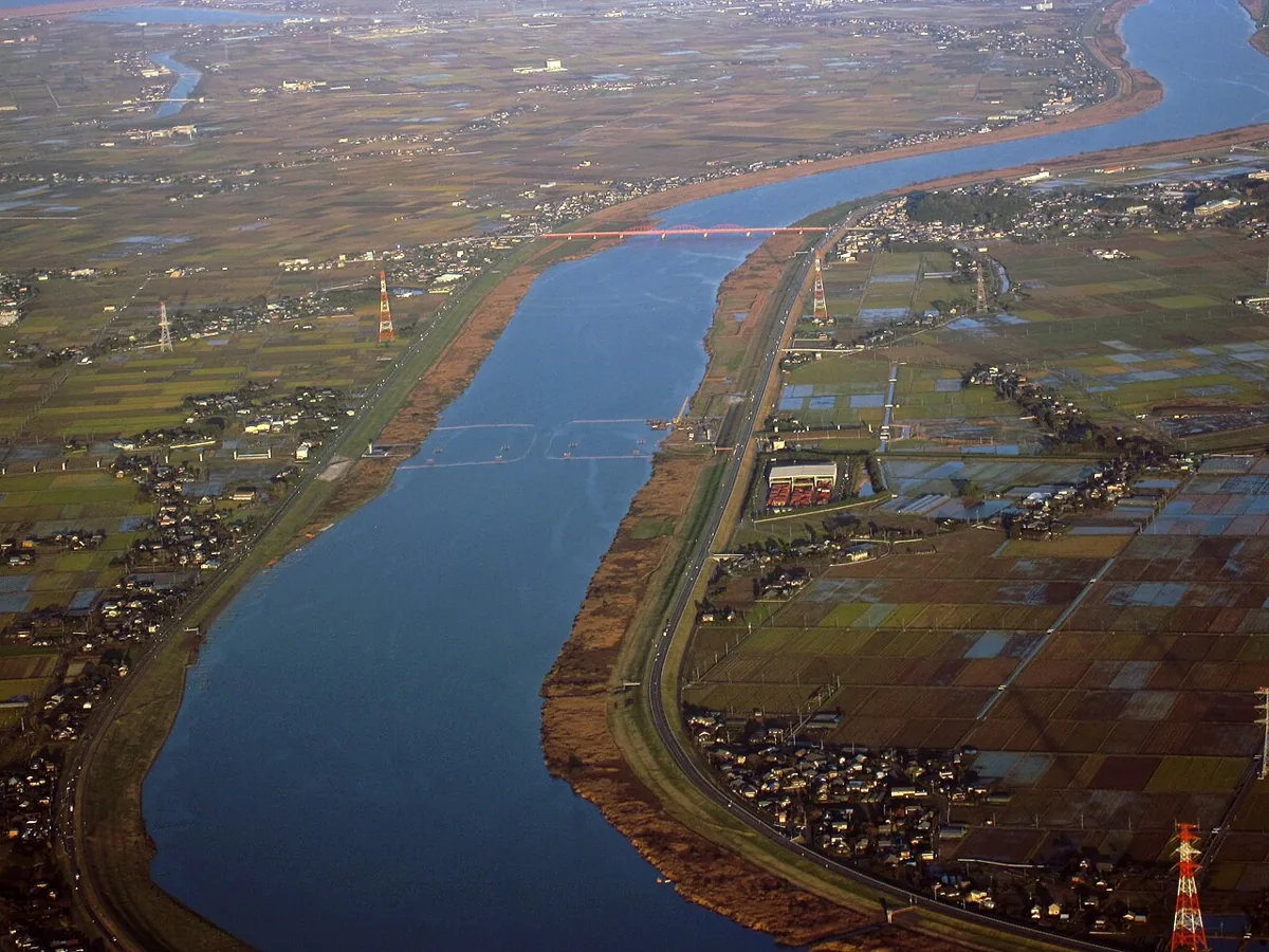
This guide covers Kawachi town in Ibaraki’s Inashiki district, with Tone River and rural landscapes. The lead image is an aerial photograph of the Tone River from November 2009, not a view of a present-day footpath. Arrange driving access and return transport first.
This guide covers places within Kawachi (Ibaraki), rather than places immediately beside your app check-in.
01 · EXPLORE
Two places to begin
Two different places: start with whichever interests you.
01
A first-visit stop
Ootone Airfield
大利根飛行場
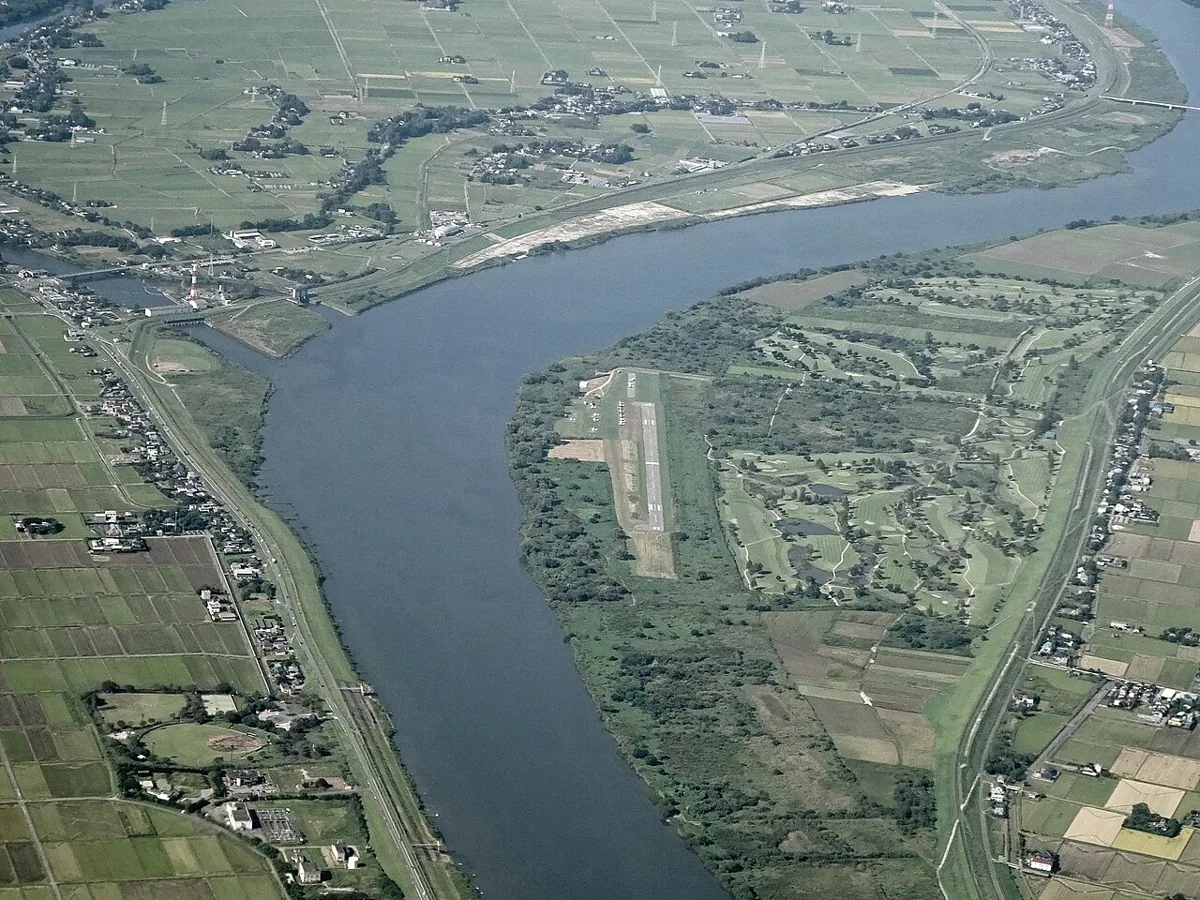
An airfield on the Tone River floodplain featured in the official regional guide. The March 2024 aerial photograph differs from a pedestrian view. The runway is not a walking area; ask the operator about visits or activities before coming.
Getting there Check the current approach and return transport on the map.
A traditional house reused for community exchange and dining. Check current use and booking arrangements rather than assuming unrestricted museum access. Respect private property and farmland along nearby public roads.
Getting there Check the current approach and return transport on the map.
Ibaraki’s official regional guide features Kawachi rice and lotus root. Check origin labels and seasonal availability, and ask about ingredients and allergens in prepared dishes before ordering. Current restaurant menus are not guaranteed.
Choose public roads around Nagasaotei and check its visitor arrangements. Keep the airfield out of your walking route and seek operator guidance in advance.
Resized, metadata removed and converted to WebP; display crops vary by screen. Adapted CC BY-SA photos retain the original license.
Photos are historical material dated in the credits, not a guarantee of present scenery or operation. Places without photos use decorative name panels.


 01
01

