Start slowly, with one place. Find a view and a small meal.
南富良野町
Local historyFirst-visit planCheck transport
Hi, I’m Tabi!
Discover Lake Kanayama and Minamifurano Roadside Station. Minamifurano is a separate municipality from neighbouring Furano City; plan transport between the lakeshore and town facilities.
This guide covers places within Minamifurano, rather than places immediately beside your app check-in.
01 · EXPLORE
Two places to begin
Two different places: start with whichever interests you.
01
A first-visit stop
Lake Kanayama
かなやま湖
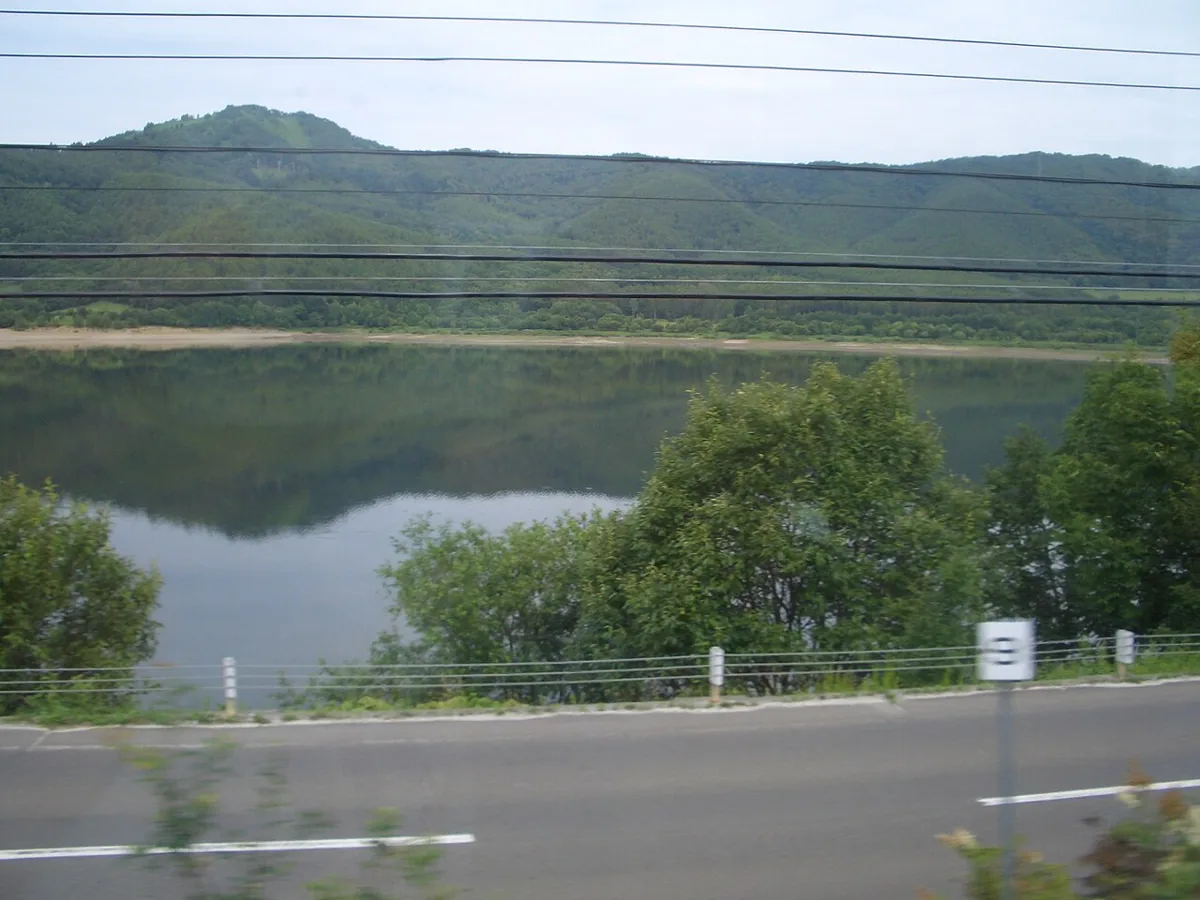
The photograph shows the lake from a train window in August 2011. It does not mean that the same railway route remains available. Check current lakeshore road access and the opening of walking and camping areas.
Getting there Check the current approach and return transport on the map.
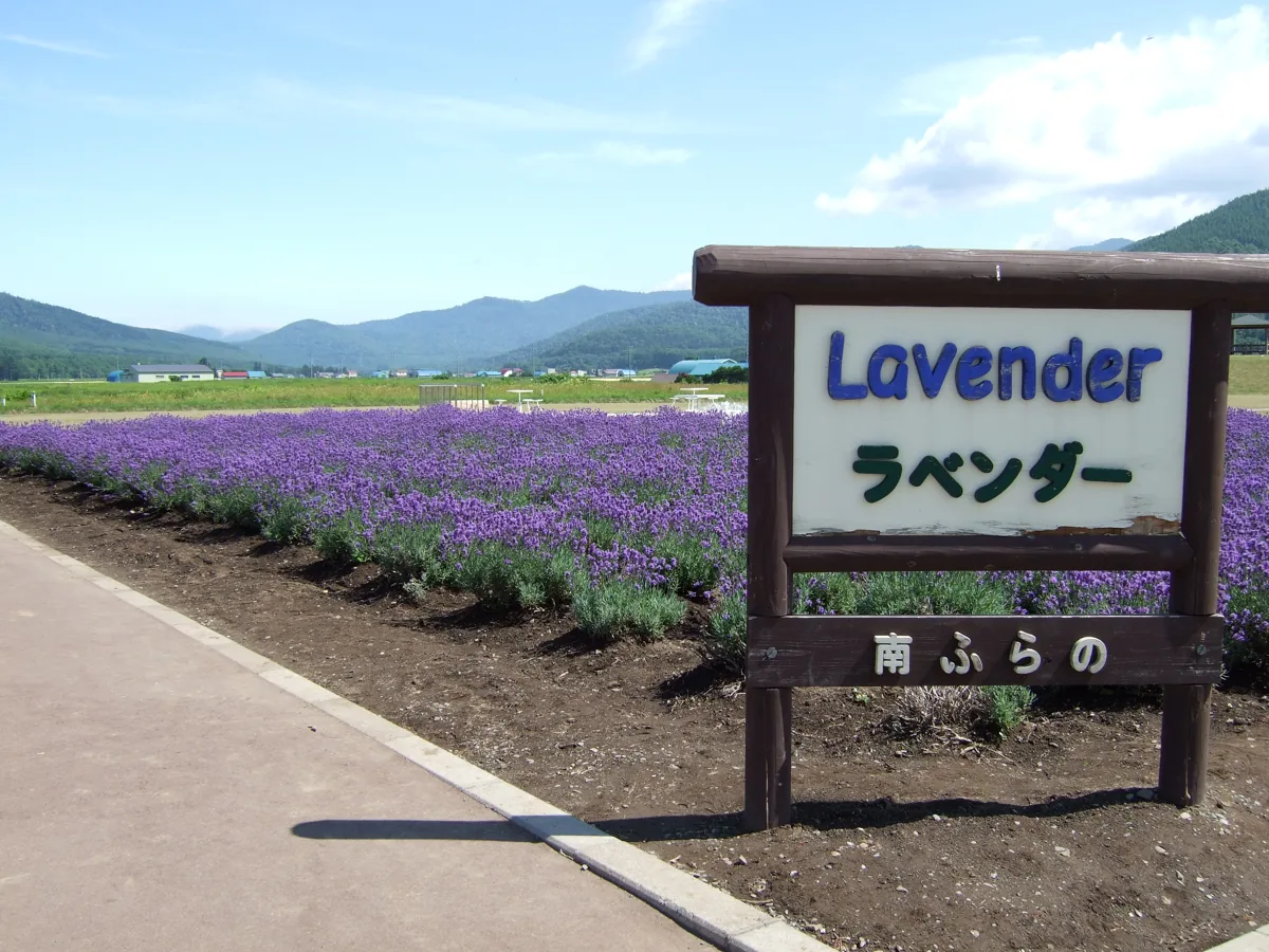
The photograph shows lavender beside the roadside station in July 2007. The facility reopened after renewal in April 2025; the image does not show its current layout or flowering. An adjacent park is closed for works from 13 October 2026, so check access by area.
Getting there Check the current approach and return transport on the map.
The town’s promotion corporation introduces Bata-jaga, a buttered-potato product made with Hokkaido-grown Danshaku potatoes. Check package labels and current products; this does not establish that every ingredient comes from Minamifurano.
Resized, metadata removed and converted to WebP; display crops vary by screen. Adapted CC BY-SA photos retain the original license.
Photos are historical material dated in the credits, not a guarantee of present scenery or operation. Places without photos use decorative name panels.


 01
01