Start slowly, with one place. Find a view and a small meal.
雨竜町
Local historyFirst-visit planCheck transport
Hi, I’m Tabi!
Uryu is a farming town in Hokkaido’s Sorachi region. Explore local produce and settlement history at the roadside station or historical park. Wetland hiking is closed from October 13, 2026 and is separate from the gentle visit suggested here.
This guide covers places within Uryu, rather than places immediately beside your app check-in.
01 · EXPLORE
Two places to begin
Two different places: start with whichever interests you.
01
A first-visit stop
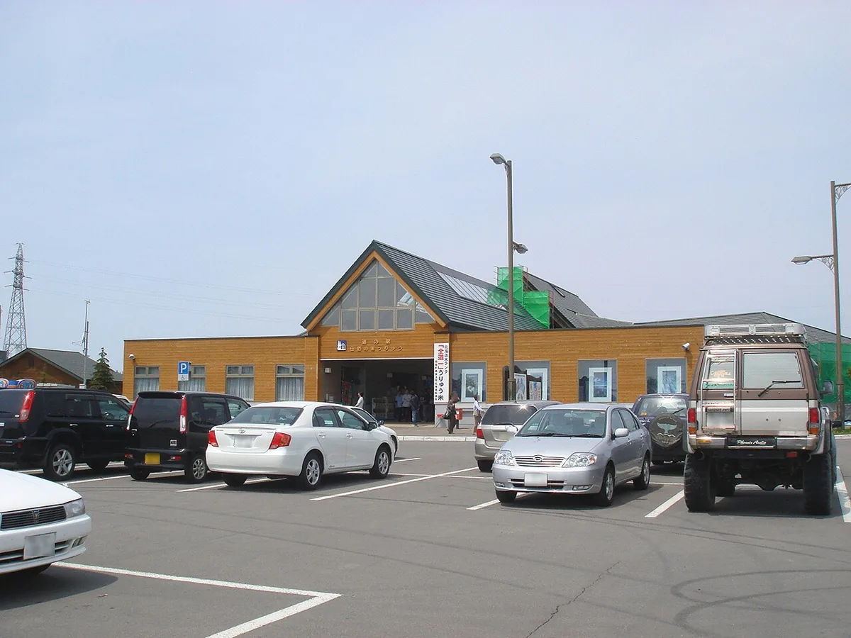
Roadside Station Denen no Sato Uryu
道の駅 田園の里うりゅう
A rest facility for local rice, produce and wetland exhibition information, pictured in 2009. Nature-center displays and actual wetland hiking are separate visits; check current operations and access independently.
Getting there Locate the Route275 facility at Manju28-3 and check current road or bus access; it is a separate destination from the wetland trail.
A park around the former Hachisuka Farm office site, with settlement history and a red-pine avenue. Check current public areas and building-viewing arrangements.
Getting there Locate the historical-park entrance at Manju21 on official maps and plan transport and return travel separately from the roadside station.
Official roadside-station guidance introduces Uryu rice and Shokan melon. Check actual origin, variety, ingredients, allergens and seasonal availability; no local rice in every meal, particular shop or price is guaranteed.
Resized, metadata removed and converted to WebP; display crops vary by screen. Adapted CC BY-SA photos retain the original license.
Photos are historical material dated in the credits, not a guarantee of present scenery or operation. Places without photos use decorative name panels.


 01
01
