Start slowly, with one place. Find a view and a small meal.
羅臼町
Local historyFirst-visit planCheck transport
Hi, I’m Tabi!
Rausu lies on Shiretoko Peninsula’s eastern side in Hokkaido, with sea, fishing and national-park stories. It is separate from Shari and Utoro across the peninsula. Begin with the visitor center or roadside station; keep distance from wildlife and do not feed it.
This guide covers places within Rausu, rather than places immediately beside your app check-in.
01 · EXPLORE
Two places to begin
Two different places: start with whichever interests you.
01
A first-visit stop
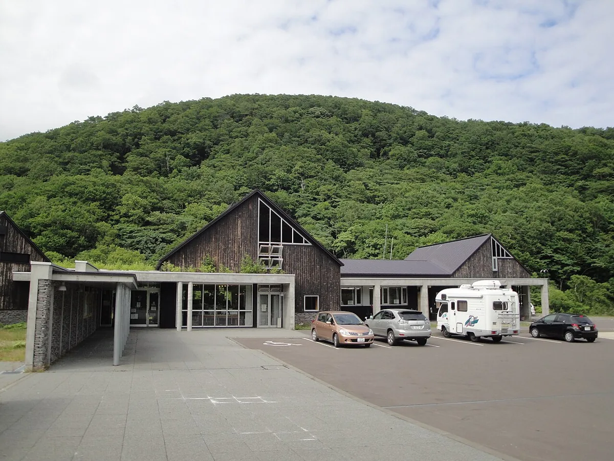
Shiretoko Rausu Visitor Center
知床羅臼ビジターセンター
An environment-ministry facility introducing Shiretoko National Park’s nature and current visitor information. The exterior photo dates to 2011. Check routes, weather and wildlife guidance, separately from hiking or sea activities.
Getting there Check current Akan Bus connections and the walking approach from Rausu Onsen stop, along with seasonal road conditions at Shiretoko Pass.
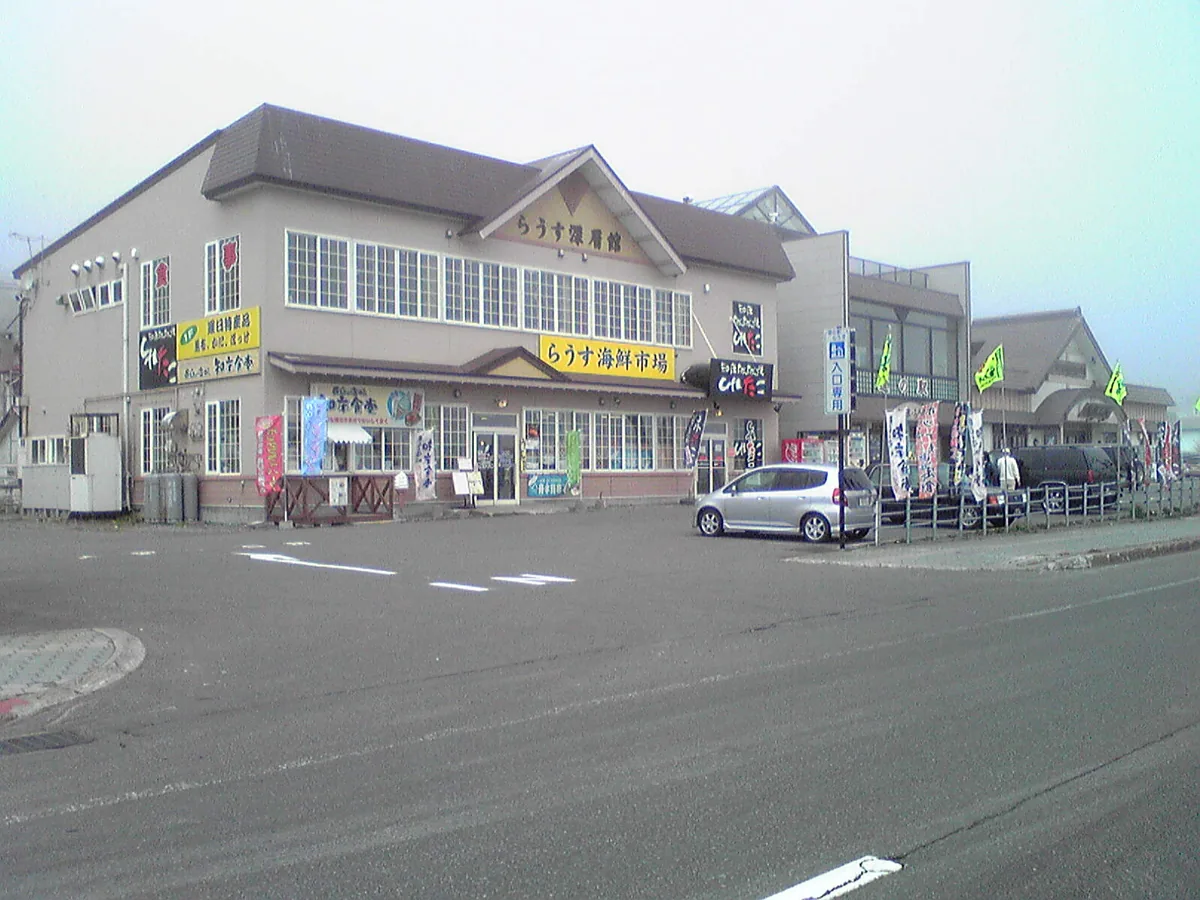
A rest facility for regional visitor information, seafood and specialties. The 2010 exterior guarantees no current shops or stock. Check travel from the center; sea visibility and boat departures depend on conditions.
Getting there Locate the facility near Route 335 in central Rausu and plan onward and return transport separately from the visitor center.
Official tourism guidance introduces Rausu kelp and fish such as hokke. Check origin, ingredients, preparation and allergens in kelp products or fish dishes; neither daily stock nor a particular shop or price is guaranteed.
Resized, metadata removed and converted to WebP; display crops vary by screen. Adapted CC BY-SA photos retain the original license.
Photos are historical material dated in the credits, not a guarantee of present scenery or operation. Places without photos use decorative name panels.


 01
01