Start slowly, with one place. Find a view and a small meal.
小樽市
Local historyFirst-visit planCheck transport
Hi, I’m Tabi!
Discover Otaru’s canal and traces of its railway past. Explore the waterside promenade and the designated former Temiya Line space at your own pace.
This guide covers places within Otaru, rather than places immediately beside your app check-in.
01 · EXPLORE
Two places to begin
Two different places: start with whichever interests you.
01
A first-visit stop
Otaru Canal
小樽運河
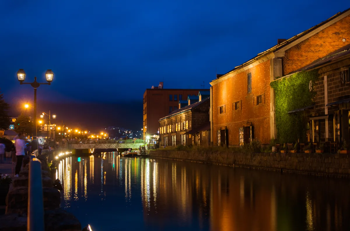
Warehouses and waterside views evoke the port’s history. This is an evening photo from 2019, rather than a promise of current lighting or events. Watch the water’s edge and other pedestrians.
Getting there Check the current approach and return transport on the map.
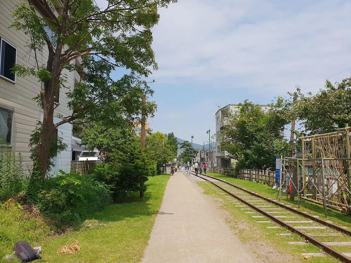
Paths and rest spaces follow this former railway. The photo dates from 2018. Use only the designated public sections and never enter active railway tracks.
Getting there Check the current approach and return transport on the map.
Resized, metadata removed and converted to WebP; display crops vary by screen. Adapted CC BY-SA photos retain the original license.
Photos are historical material dated in the credits, not a guarantee of present scenery or operation. Places without photos use decorative name panels.


 01